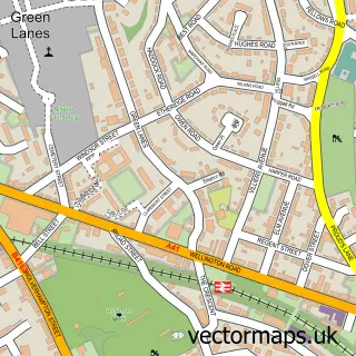
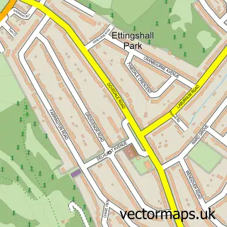
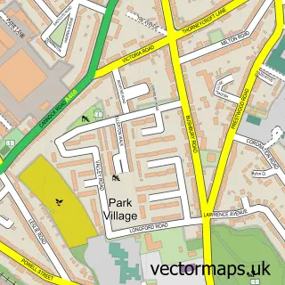
This Parkfield street map is a detailed vector street map covering a 750m x 750m area. Select a larger area to create and download your own vector street map of Parkfield.
The 750-metre map sample for Parkfield covers 393 mapped buildings and approximately 60.7 km of road detail, of which 40 named roads are named. The immediate area includes 4 schools, 16 GP surgeries within 2 miles and 1 MOT station, with 62 within 2 miles. The wider area around Parkfield features 2 tourism points of interest and 1 food and drink venue. To create a larger or custom map of Parkfield, the map builder lets you define your own coverage area and download editable SVG, PDF and PNG files.
Create a larger editable map of Parkfield
Choose any area you need and generate a high-quality vector map instantly. Perfect for print, planning, design, business and personal use.

This Parkfield street map in West Midlands is available as downloadable SVG, PDF and PNG map files, or as a printed map for planning, business, display, education, local information and design work. You can also create a larger custom map area using the map selector.
What this Parkfield map sample shows
Parkfield lies within City Of Wolverhampton District (B) parish, part of Blakenhall ward in the City Of Wolverhampton District (B) local authority area. The postcode geography for this area includes the WV postcode area, the WV3 postcode district and the WV3 0 postcode sector. Residents fall under the Nhs Black Country Integrated Care Board for NHS services.
Local features near Parkfield
Within 2 milesAmenities and services in and around Parkfield.
Administrative and postcode information for Parkfield
Parkfield lies within City Of Wolverhampton District (B) parish, part of Blakenhall ward in the City Of Wolverhampton District (B) local authority area. The postcode geography for this area includes the WV postcode area, the WV3 postcode district and the WV3 0 postcode sector. Residents fall under the Nhs Black Country Integrated Care Board for NHS services.
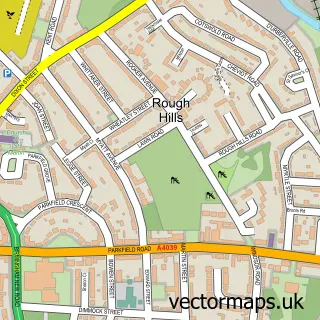
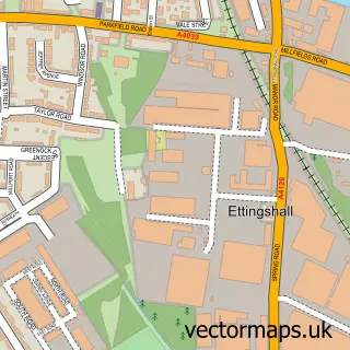
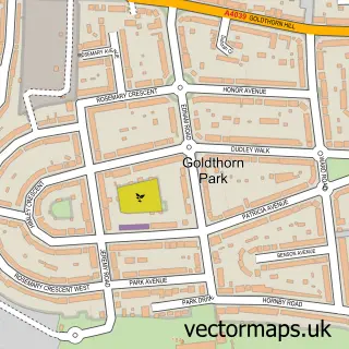
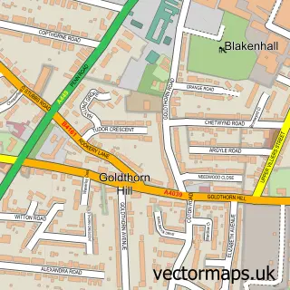
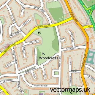
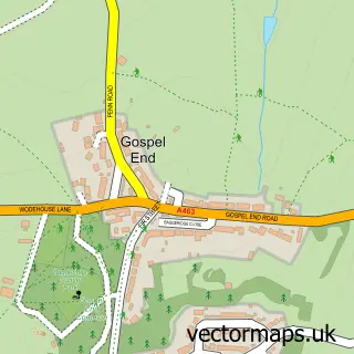
Nearby street map samples around Parkfield

More street maps in West Midlands
750 metre map area coverage
Boundary, postcode and point of interest information for the 750m x 750m rectangle centred on this sample map.
Boundaries containing map centre
Constituency: Wolverhampton West Boro Const
District: City of Wolverhampton District (B)
Icb: NHS Black Country ICB
Police Force: west midlands
Postcode District: WV4
Postcode Sector: WV4 6
Ward: Blakenhall Ward
Nearby boundaries intersecting sample
Constituency: Wolverhampton South East Boro Const
Postcode District: WV2
Postcode Sector: WV2 3, WV4 5
Ward: Ettingshall North Ward, Ettingshall South & Spring Vale Ward
Postcode coverage
POI category counts
Convenience Store: 4
Driving School: 3
Church Cathedral: 2
Courier And Delivery Services: 2
Elementary School: 2
Food Beverage Service Distribution: 2
Hair Salon: 2
Indian Restaurant: 2
Library: 2
Park: 2
Sample points of interest
- Naturveda UK
- ASR Appliance Service Repairs
- The Curry Leaf
- Walton House
- PayPoint
- Herian Motors
- Razor King Barber
- Joy's Beauty and Massage
- Hi Spec Autos
- St Teresa's Roman Catholic Church
- Selah Tamil Church
- St John's Methodist Church
Create a larger editable map of Parkfield
This sample shows only a 750 metre area. To create a larger map of Parkfield, use our map builder to choose your own coverage area, add titles and download editable SVG, PDF and PNG files.
Create a custom map of Parkfield