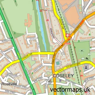
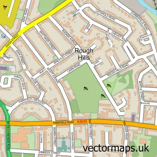
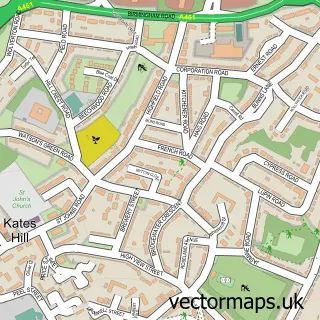
This Woodcross street map is a detailed vector street map covering a 750m x 750m area. Select a larger area to create and download your own vector street map of Woodcross.
The 750-metre map sample for Woodcross covers 420 mapped buildings and approximately 53.6 km of road detail, of which 39 named roads are named. The immediate area includes 1 school, 14 GP surgeries within 2 miles and 40 MOT stations within 2 miles. The wider area around Woodcross features 1 food and drink venue. To create a larger or custom map of Woodcross, the map builder lets you define your own coverage area and download editable SVG, PDF and PNG files.
Create a larger editable map of Woodcross
Choose any area you need and generate a high-quality vector map instantly. Perfect for print, planning, design, business and personal use.

This Woodcross street map in West Midlands is available as downloadable SVG, PDF and PNG map files, or as a printed map for planning, business, display, education, local information and design work. You can also create a larger custom map area using the map selector.
What this Woodcross map sample shows
Woodcross lies within Dudley District (B) parish, part of Coseley East ward in the Dudley District (B) local authority area. The postcode geography for this area includes the WV postcode area, the WV14 postcode district and the WV14 9 postcode sector. Residents fall under the Nhs Black Country Integrated Care Board for NHS services.
Local features near Woodcross
Within 2 milesAmenities and services in and around Woodcross.
Administrative and postcode information for Woodcross
Woodcross lies within Dudley District (B) parish, part of Coseley East ward in the Dudley District (B) local authority area. The postcode geography for this area includes the WV postcode area, the WV14 postcode district and the WV14 9 postcode sector. Residents fall under the Nhs Black Country Integrated Care Board for NHS services.
Nearby street map samples around Woodcross

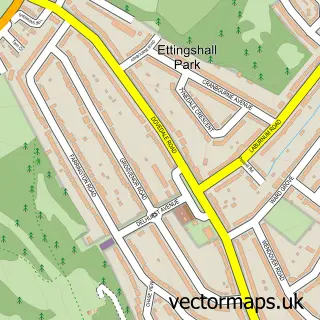
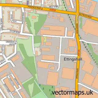
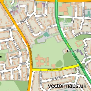
More street maps in West Midlands
750 metre map area coverage
Boundary, postcode and point of interest information for the 750m x 750m rectangle centred on this sample map.
Boundaries containing map centre
Constituency: Wolverhampton South East Boro Const
District: City of Wolverhampton District (B)
Icb: NHS Black Country ICB
Police Force: west midlands
Postcode District: WV14
Postcode Sector: WV14 9
Ward: Ettingshall South & Spring Vale Ward
Nearby boundaries intersecting sample
Constituency: Tipton and Wednesbury Boro Const
District: Dudley District (B)
Postcode District: WV4
Postcode Sector: WV4 6
Ward: Coseley Ward
Postcode coverage
POI category counts
Roofing: 6
Beauty Salon: 3
Assisted Living Facility: 2
Building Supply Store: 2
Dentist: 2
Doctor: 2
Hospital: 2
Laundry Services: 2
Retirement Home: 2
Barber: 1
Sample points of interest
- Lime Tree Court Residential Care Home - Sanctuary Care
- Rainbow Companionship Care
- Turkish trims barber
- Decorum
- Divine Hair and Beauty
- Katie Worthington Hair & Cosmetic tattoo.
- Galleon Wines
- Advantage Window Cleaning
- John the Handyman
- Kerr's Haulage
- Nanny Chew's
- Louise's Catering
Create a larger editable map of Woodcross
This sample shows only a 750 metre area. To create a larger map of Woodcross, use our map builder to choose your own coverage area, add titles and download editable SVG, PDF and PNG files.
Create a custom map of Woodcross