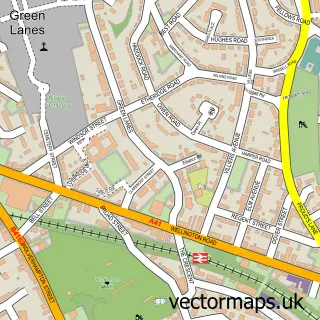
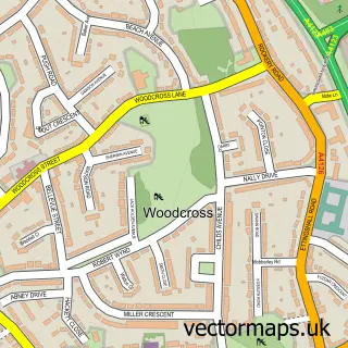
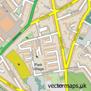
This Ettingshall street map is a detailed vector street map covering a 750m x 750m area. Select a larger area to create and download your own vector street map of Ettingshall.
The 750-metre map sample for Ettingshall covers 211 mapped buildings and approximately 32.3 km of road detail, of which 26 named roads are named. The immediate area includes 1 school, 15 GP surgeries within 2 miles and 1 MOT station, with 66 within 2 miles. The wider area around Ettingshall features 1 tourism point of interest and 4 food and drink venues. To create a larger or custom map of Ettingshall, the map builder lets you define your own coverage area and download editable SVG, PDF and PNG files.
Create a larger editable map of Ettingshall
Choose any area you need and generate a high-quality vector map instantly. Perfect for print, planning, design, business and personal use.

This Ettingshall street map in West Midlands is available as downloadable SVG, PDF and PNG map files, or as a printed map for planning, business, display, education, local information and design work. You can also create a larger custom map area using the map selector.
What this Ettingshall map sample shows
Ettingshall lies within City Of Wolverhampton District (B) parish, part of Bilston East ward in the City Of Wolverhampton District (B) local authority area. The postcode geography for this area includes the WV postcode area, the WV14 postcode district and the WV14 7 postcode sector. Residents fall under the Nhs Black Country Integrated Care Board for NHS services.
Local features near Ettingshall
Within 2 milesAmenities and services in and around Ettingshall.
Administrative and postcode information for Ettingshall
The local authority covering Ettingshall is City Of Wolverhampton District (B), within the county of West Midlands. The settlement lies within Bilston East ward and City Of Wolverhampton District (B) civil parish. The WV14 postcode district and WV14 7 postcode sector serve the immediate area. NHS provision in the area is delivered through The Royal Wolverhampton Nhs Trust.
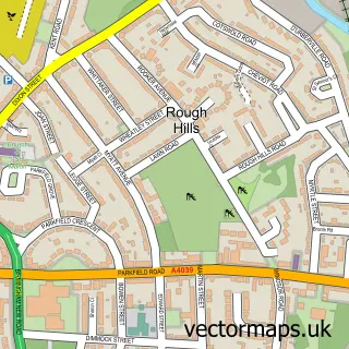
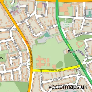
Nearby street map samples around Ettingshall

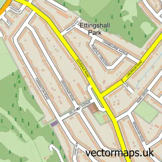
More street maps in West Midlands
750 metre map area coverage
Boundary, postcode and point of interest information for the 750m x 750m rectangle centred on this sample map.
Boundaries containing map centre
Constituency: Wolverhampton South East Boro Const
District: City of Wolverhampton District (B)
Icb: NHS Black Country ICB
Police Force: west midlands
Postcode District: WV4
Postcode Sector: WV4 6
Ward: Ettingshall South & Spring Vale Ward
Nearby boundaries intersecting sample
Postcode District: WV2
Postcode Sector: WV2 2
Ward: Ettingshall North Ward
Postcode coverage
POI category counts
Automotive Repair: 7
Retail: 6
Metal Supplier: 5
Professional Services: 5
Building Supply Store: 4
Cafe: 3
Driving School: 3
Employment Agencies: 3
Engineering Services: 3
Industrial Equipment: 3
Sample points of interest
- Midlands Accountants and Tax Advisors
- CSV
- The Homebuyers Helpline
- All Vehicle Contracts
- B M Euro Service LTD
- Bodytech Accident Repairs
- Concorde Tyres and Auto Repair Centre
- Parkfield MOT & Service
- Power-ject
- TLC Ford Ltd
- WAD Auto Developments
- Oldcolours
Create a larger editable map of Ettingshall
This sample shows only a 750 metre area. To create a larger map of Ettingshall, use our map builder to choose your own coverage area, add titles and download editable SVG, PDF and PNG files.
Create a custom map of Ettingshall