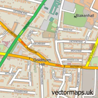
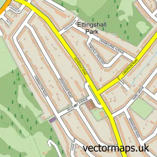
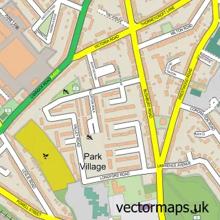
This Goldthorn Park street map is a detailed vector street map covering a 750m x 750m area. Select a larger area to create and download your own vector street map of Goldthorn Park.
The 750-metre map sample for Goldthorn Park covers 356 mapped buildings and approximately 43.0 km of road detail, of which 22 named roads are named. The immediate area includes 8 GP surgeries within 2 miles and 59 MOT stations within 2 miles. The wider area around Goldthorn Park features 1 hotel. To create a larger or custom map of Goldthorn Park, the map builder lets you define your own coverage area and download editable SVG, PDF and PNG files.
Create a larger editable map of Goldthorn Park
Choose any area you need and generate a high-quality vector map instantly. Perfect for print, planning, design, business and personal use.

This Goldthorn Park street map in West Midlands is available as downloadable SVG, PDF and PNG map files, or as a printed map for planning, business, display, education, local information and design work. You can also create a larger custom map area using the map selector.
What this Goldthorn Park map sample shows
Goldthorn Park lies within City Of Wolverhampton District (B) parish, part of Blakenhall ward in the City Of Wolverhampton District (B) local authority area. The postcode geography for this area includes the WV postcode area, the WV3 postcode district and the WV3 0 postcode sector. Residents fall under the Nhs Black Country Integrated Care Board for NHS services.
Local features near Goldthorn Park
Within 2 milesAmenities and services in and around Goldthorn Park.
Administrative and postcode information for Goldthorn Park
The local authority covering Goldthorn Park is City Of Wolverhampton District (B), within the county of West Midlands. The settlement lies within Blakenhall ward and City Of Wolverhampton District (B) civil parish. The WV3 postcode district and WV3 0 postcode sector serve the immediate area. NHS provision in the area is delivered through The Royal Wolverhampton Nhs Trust.
Nearby street map samples around Goldthorn Park
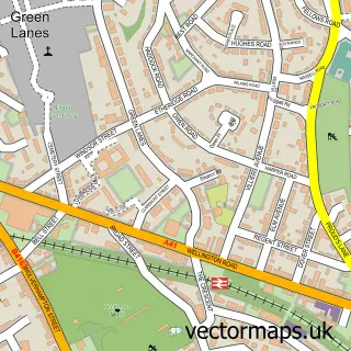

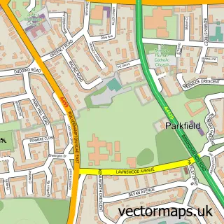
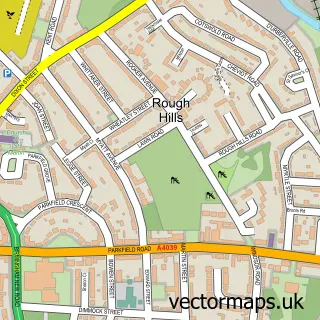
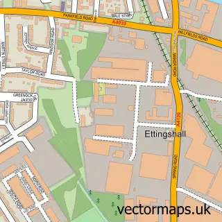
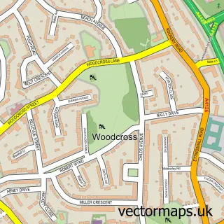
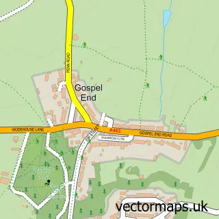
More street maps in West Midlands
750 metre map area coverage
Boundary, postcode and point of interest information for the 750m x 750m rectangle centred on this sample map.
Boundaries containing map centre
Constituency: Wolverhampton West Boro Const
District: City of Wolverhampton District (B)
Icb: NHS Black Country ICB
Police Force: west midlands
Postcode District: WV4
Postcode Sector: WV4 5
Ward: Blakenhall Ward
Nearby boundaries intersecting sample
Postcode District: WV2
Postcode Sector: WV2 3
Postcode coverage
POI category counts
Driving School: 2
Performing Arts: 2
Arts And Entertainment: 1
Assisted Living Facility: 1
Auto Detailing: 1
Bathroom Remodeling: 1
Bridal Shop: 1
Clock Repair Service: 1
Corporate Office: 1
Doctor: 1
Sample points of interest
- Bob Elcock
- Bethrey House
- Midland Mileage Correction
- GSR Home Improvements
- Rings & Vows
- Mills Cleaning Services
- Uk Shopfront & Garage Door Specialists
- Ednam Road Surgery
- Bains Driving School
- Kalsi School of Motoring
- B M & A Costley Dance School
- UK Shopfront Specialists
Create a larger editable map of Goldthorn Park
This sample shows only a 750 metre area. To create a larger map of Goldthorn Park, use our map builder to choose your own coverage area, add titles and download editable SVG, PDF and PNG files.
Create a custom map of Goldthorn Park