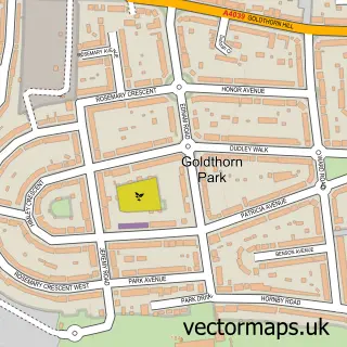
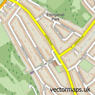
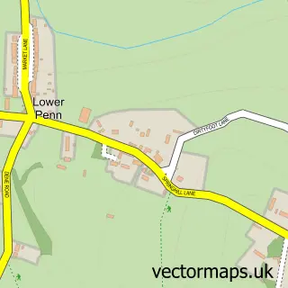
This Goldthorn Hill street map is a detailed vector street map covering a 750m x 750m area. Select a larger area to create and download your own vector street map of Goldthorn Hill.
The 750-metre map sample for Goldthorn Hill covers 437 mapped buildings and approximately 49.3 km of road detail, of which 32 named roads are named. The immediate area includes 1 school, 10 GP surgeries within 2 miles and 53 MOT stations within 2 miles. The wider area around Goldthorn Hill features 1 food and drink venue and 2 hotels. To create a larger or custom map of Goldthorn Hill, the map builder lets you define your own coverage area and download editable SVG, PDF and PNG files.
Create a larger editable map of Goldthorn Hill
Choose any area you need and generate a high-quality vector map instantly. Perfect for print, planning, design, business and personal use.

This Goldthorn Hill street map in West Midlands is available as downloadable SVG, PDF and PNG map files, or as a printed map for planning, business, display, education, local information and design work. You can also create a larger custom map area using the map selector.
What this Goldthorn Hill map sample shows
Goldthorn Hill lies within City Of Wolverhampton District (B) parish, part of Blakenhall ward in the City Of Wolverhampton District (B) local authority area. The postcode geography for this area includes the WV postcode area, the WV3 postcode district and the WV3 0 postcode sector. Residents fall under the Nhs Black Country Integrated Care Board for NHS services.
Local features near Goldthorn Hill
Within 2 milesAmenities and services in and around Goldthorn Hill.
Administrative and postcode information for Goldthorn Hill
Goldthorn Hill lies within City Of Wolverhampton District (B) parish, part of Blakenhall ward in the City Of Wolverhampton District (B) local authority area. The postcode geography for this area includes the WV postcode area, the WV3 postcode district and the WV3 0 postcode sector. Residents fall under the Nhs Black Country Integrated Care Board for NHS services.
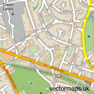
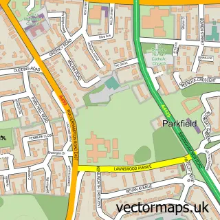
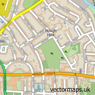
Nearby street map samples around Goldthorn Hill

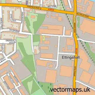
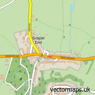
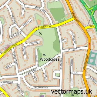
More street maps in West Midlands
750 metre map area coverage
Boundary, postcode and point of interest information for the 750m x 750m rectangle centred on this sample map.
Boundaries containing map centre
Constituency: Wolverhampton West Boro Const
District: City of Wolverhampton District (B)
Icb: NHS Black Country ICB
Police Force: west midlands
Postcode District: WV2
Postcode Sector: WV2 4
Ward: Blakenhall Ward
Nearby boundaries intersecting sample
Postcode District: WV3, WV4
Postcode Sector: WV2 3, WV3 0, WV3 7, WV4 4, WV4 5
Ward: Graiseley Ward, Penn Ward
Postcode coverage
POI category counts
Automotive Repair: 3
Building Supply Store: 3
Dentist: 3
Mortgage Broker: 3
Retirement Home: 3
Arts And Crafts: 2
Assisted Living Facility: 2
Atms: 2
Bakery: 2
Beauty Salon: 2
Sample points of interest
- Topline Cookers
- Jumping Pixel Media Solutions
- Edbros Fixings
- Penn Framing and Art Materials
- Shervale Residential Home
- Wellesley House
- ATM (Post Office)
- Terminus Service Station, Pennfields
- Alloy Vera
- Classic Resto Vehicle Restorations
- Chapel Ash Trading Ltd
- Locos smart repairs
Create a larger editable map of Goldthorn Hill
This sample shows only a 750 metre area. To create a larger map of Goldthorn Hill, use our map builder to choose your own coverage area, add titles and download editable SVG, PDF and PNG files.
Create a custom map of Goldthorn Hill