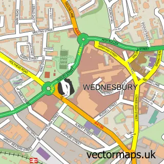
This Hill Top street map is a detailed vector street map covering a 750m x 750m area. Select a larger area to create and download your own vector street map of Hill Top.
The 750-metre map sample for Hill Top covers 446 mapped buildings and approximately 60.1 km of road detail, of which 48 named roads are named. The immediate area includes 2 GP surgeries, with 18 within 2 miles, 5 pubs and 2 MOT stations, with 42 within 2 miles. The wider area around Hill Top features 2 tourism points of interest and 5 food and drink venues. To create a larger or custom map of Hill Top, the map builder lets you define your own coverage area and download editable SVG, PDF and PNG files.
Create a larger editable map of Hill Top
Choose any area you need and generate a high-quality vector map instantly. Perfect for print, planning, design, business and personal use.

This Hill Top street map in West Midlands is available as downloadable SVG, PDF and PNG map files, or as a printed map for planning, business, display, education, local information and design work. You can also create a larger custom map area using the map selector.
What this Hill Top map sample shows
Hill Top lies within Sandwell District (B) parish, part of Wednesbury North ward in the Sandwell District (B) local authority area. The postcode geography for this area includes the WS postcode area, the WS10 postcode district and the WS10 7 postcode sector. Residents fall under the Nhs Black Country Integrated Care Board for NHS services.
Local features near Hill Top
Within 2 milesAmenities and services in and around Hill Top.
Administrative and postcode information for Hill Top
The local authority covering Hill Top is Sandwell District (B), within the county of West Midlands. The settlement lies within Wednesbury North ward and Sandwell District (B) civil parish. The WS10 postcode district and WS10 7 postcode sector serve the immediate area. NHS provision in the area is delivered through Sandwell And West Birmingham Hospitals Nhs Trust.
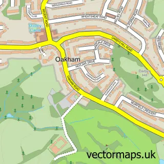
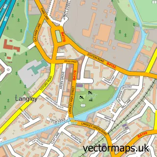
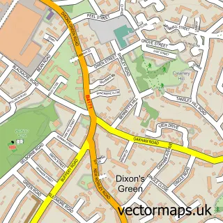
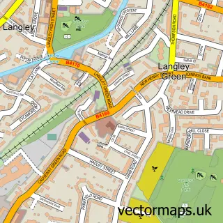
Nearby street map samples around Hill Top

More street maps in West Midlands
750 metre map area coverage
Boundary, postcode and point of interest information for the 750m x 750m rectangle centred on this sample map.
Boundaries containing map centre
Constituency: Tipton and Wednesbury Boro Const
District: Sandwell District (B)
Icb: NHS Black Country ICB
Police Force: west midlands
Postcode District: B70
Postcode Sector: B70 0
Ward: Wednesbury South Ward
Nearby boundaries intersecting sample
Postcode District: B71
Postcode Sector: B71 2
Ward: Hateley Heath Ward
Postcode coverage
POI category counts
Doctor: 5
Pub: 5
Convenience Store: 4
Assisted Living Facility: 3
Atms: 3
Contractor: 3
Fish And Chips Restaurant: 3
Pharmacy: 3
Shipping Center: 3
Arts And Entertainment: 2
Sample points of interest
- Pasha Accountancy Ltd
- St James Hill Top
- Hill top xi
- The Junction Convenience Store
- Hilltop Lodge Residential Care Home
- Oakley Gardens
- Phoenix House
- ATM (Post Office)
- Central England Co-Op - Hilltop West Bromwich
- Nisa (MR to CIT)
- Hill Top Motors
- M S Motors
Create a larger editable map of Hill Top
This sample shows only a 750 metre area. To create a larger map of Hill Top, use our map builder to choose your own coverage area, add titles and download editable SVG, PDF and PNG files.
Create a custom map of Hill Top