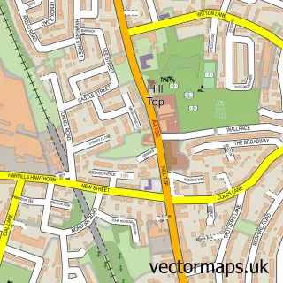
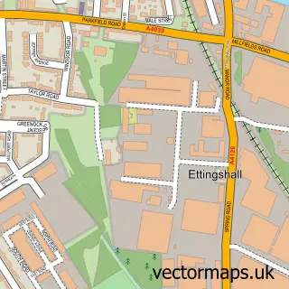
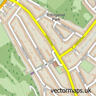
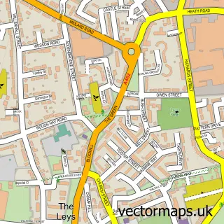
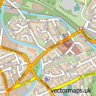
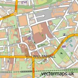
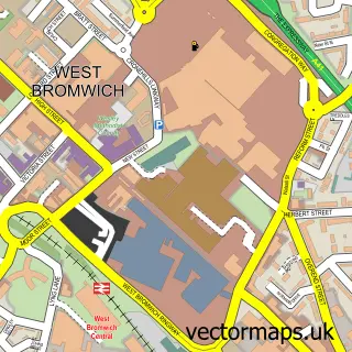
This Wednesbury street map is a detailed vector street map covering a 750m x 750m area. Select a larger area to create and download your own vector street map of Wednesbury.
The 750-metre map sample for Wednesbury covers 305 mapped buildings and approximately 63.1 km of road detail, of which 50 named roads are named. The immediate area includes 1 school, 1 railway station, 2 GP surgeries, with 19 within 2 miles and 10 pubs among other local services. The wider area around Wednesbury features 3 tourism points of interest and 26 food and drink venues. To create a larger or custom map of Wednesbury, the map builder lets you define your own coverage area and download editable SVG, PDF and PNG files.
Create a larger editable map of Wednesbury
Choose any area you need and generate a high-quality vector map instantly. Perfect for print, planning, design, business and personal use.

This Wednesbury street map in West Midlands is available as downloadable SVG, PDF and PNG map files, or as a printed map for planning, business, display, education, local information and design work. You can also create a larger custom map area using the map selector.
What this Wednesbury map sample shows
Wednesbury lies within Sandwell District (B) parish, part of Wednesbury North ward in the Sandwell District (B) local authority area. The postcode geography for this area includes the WS postcode area, the WS10 postcode district and the WS10 7 postcode sector. Residents fall under the Nhs Black Country Integrated Care Board for NHS services.
Local features near Wednesbury
Within 2 milesAmenities and services in and around Wednesbury.
Administrative and postcode information for Wednesbury
The local authority covering Wednesbury is Sandwell District (B), within the county of West Midlands. The settlement lies within Wednesbury North ward and Sandwell District (B) civil parish. The WS10 postcode district and WS10 7 postcode sector serve the immediate area. NHS provision in the area is delivered through Sandwell And West Birmingham Hospitals Nhs Trust.
Nearby street map samples around Wednesbury

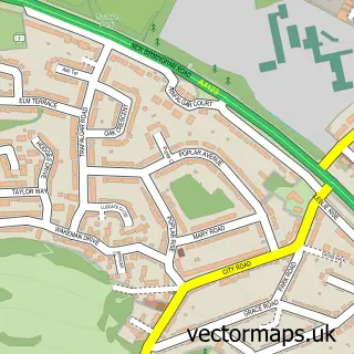
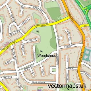
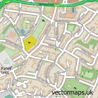
More street maps in West Midlands
750 metre map area coverage
Boundary, postcode and point of interest information for the 750m x 750m rectangle centred on this sample map.
Boundaries containing map centre
Constituency: Tipton and Wednesbury Boro Const
District: Sandwell District (B)
Icb: NHS Black Country ICB
Police Force: west midlands
Postcode District: WS10
Postcode Sector: WS10 7
Ward: Wednesbury North Ward
Nearby boundaries intersecting sample
Postcode Sector: WS10 0, WS10 9
Ward: Wednesbury South Ward
Postcode coverage
POI category counts
Beauty Salon: 23
Pub: 10
Hair Salon: 8
Restaurant: 8
Cafe: 7
Church Cathedral: 7
Fast Food Restaurant: 7
Bank Credit Union: 6
Beauty And Spa: 6
Doctor: 6
Sample points of interest
- Starline Accountancy
- Wednesbury Leisure Centre
- Emporia Tiles And Bathroom
- The Phonebook Uk Ltd.
- Quicksilver
- Acorns Children's Hospice
- Ray Buys and Sells
- Scope Charity Shop
- Kenson
- West Midlands Electrical Superstore
- Playland Wednesbury
- Fairlawns Artificial Grass
Create a larger editable map of Wednesbury
This sample shows only a 750 metre area. To create a larger map of Wednesbury, use our map builder to choose your own coverage area, add titles and download editable SVG, PDF and PNG files.
Create a custom map of Wednesbury