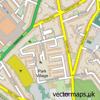
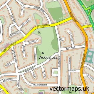
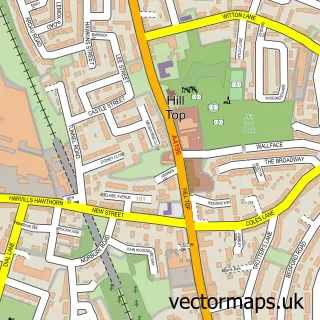
This Willenhall street map is a detailed vector street map covering a 750m x 750m area. Select a larger area to create and download your own vector street map of Willenhall.
The 750-metre map sample for Willenhall covers 281 mapped buildings and approximately 60.9 km of road detail, of which 64 named roads are named. The immediate area includes 1 school, 3 GP surgeries, with 19 within 2 miles, 8 pubs and 5 MOT stations, with 52 within 2 miles. The wider area around Willenhall features 6 tourism points of interest and 14 food and drink venues. To create a larger or custom map of Willenhall, the map builder lets you define your own coverage area and download editable SVG, PDF and PNG files.
Create a larger editable map of Willenhall
Choose any area you need and generate a high-quality vector map instantly. Perfect for print, planning, design, business and personal use.

This Willenhall street map in West Midlands is available as downloadable SVG, PDF and PNG map files, or as a printed map for planning, business, display, education, local information and design work. You can also create a larger custom map area using the map selector.
What this Willenhall map sample shows
Willenhall lies within Walsall District (B) parish, part of Willenhall South ward in the Walsall District (B) local authority area. The postcode geography for this area includes the WV postcode area, the WV13 postcode district and the WV13 2 postcode sector. Residents fall under the Nhs Black Country Integrated Care Board for NHS services.
Local features near Willenhall
Within 2 milesAmenities and services in and around Willenhall.
Administrative and postcode information for Willenhall
The local authority covering Willenhall is Walsall District (B), within the county of West Midlands. The settlement lies within Willenhall South ward and Walsall District (B) civil parish. The WV13 postcode district and WV13 2 postcode sector serve the immediate area. NHS provision in the area is delivered through Walsall Healthcare Nhs Trust.
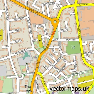
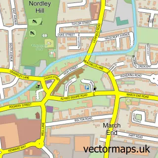
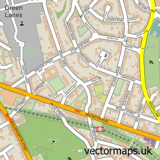
Nearby street map samples around Willenhall

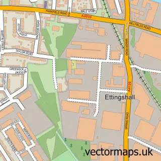
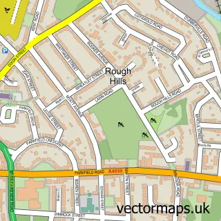
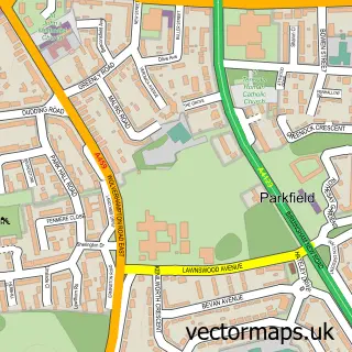
More street maps in West Midlands
750 metre map area coverage
Boundary, postcode and point of interest information for the 750m x 750m rectangle centred on this sample map.
Boundaries containing map centre
Constituency: Wolverhampton South East Boro Const
District: Walsall District (B)
Icb: NHS Black Country ICB
Police Force: west midlands
Postcode District: WV13
Postcode Sector: WV13 1
Ward: Willenhall South Ward
Nearby boundaries intersecting sample
Postcode Sector: WV13 2
Postcode coverage
POI category counts
Beauty Salon: 13
Professional Services: 10
Employment Agencies: 9
Retail: 9
Pub: 8
Doctor: 7
Engineering Services: 7
Hair Salon: 7
Automotive Repair: 6
Clothing Store: 6
Sample points of interest
- Crunch Accounting - Wolverhampton
- KST Accountancy LLP
- Strength in Numbers
- Adoption In The Black Country
- Vision One Research
- ignite webs
- Quicksilver
- Sabre Leather
- Griffiths Gates & Gardens
- West Midlands Washing Machines
- ABRS
- Washing machine repair wolverhampton ABRS
Create a larger editable map of Willenhall
This sample shows only a 750 metre area. To create a larger map of Willenhall, use our map builder to choose your own coverage area, add titles and download editable SVG, PDF and PNG files.
Create a custom map of Willenhall