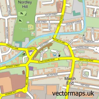
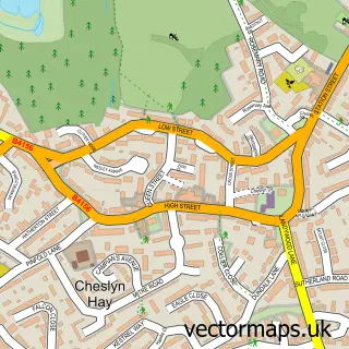
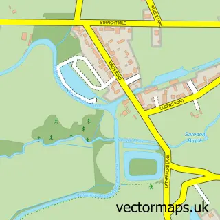
This Essington street map is a detailed vector street map covering a 750m x 750m area. Select a larger area to create and download your own vector street map of Essington.
The 750-metre map sample for Essington covers 296 mapped buildings and approximately 10.9 km of road detail, of which 22 named roads are named. The immediate area includes 1 school, 1 GP surgery, with 8 within 2 miles and 1 MOT station, with 9 within 2 miles. The wider area around Essington features 2 food and drink venues. To create a larger or custom map of Essington, the map builder lets you define your own coverage area and download editable SVG, PDF and PNG files.
Create a larger editable map of Essington
Choose any area you need and generate a high-quality vector map instantly. Perfect for print, planning, design, business and personal use.

This Essington street map in Staffordshire is available as downloadable SVG, PDF and PNG map files, or as a printed map for planning, business, display, education, local information and design work. You can also create a larger custom map area using the map selector.
What this Essington map sample shows
Essington lies within Essington Cp parish, part of Essington ward in the South Staffordshire District local authority area. The postcode geography for this area includes the WV postcode area, the WV11 postcode district and the WV11 2 postcode sector. Residents fall under the Nhs Staffordshire And Stoke-On-Trent Integrated Care Board for NHS services.
Local features near Essington
Within 2 milesAmenities and services in and around Essington.
Administrative and postcode information for Essington
The local authority covering Essington is South Staffordshire District, within the county of Staffordshire. The settlement lies within Essington ward and Essington Cp civil parish. The WV11 postcode district and WV11 2 postcode sector serve the immediate area. NHS provision in the area is delivered through The Royal Wolverhampton Nhs Trust.
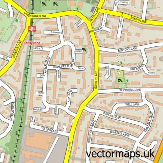
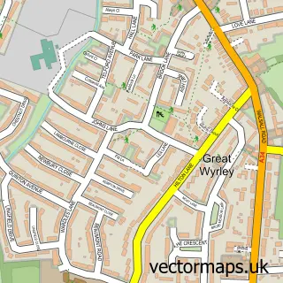
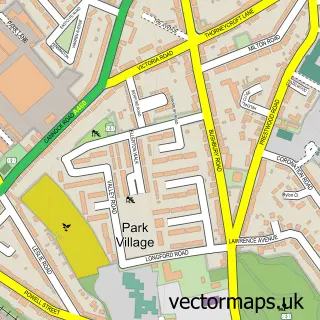
Nearby street map samples around Essington

More street maps in Staffordshire
750 metre map area coverage
Boundary, postcode and point of interest information for the 750m x 750m rectangle centred on this sample map.
Boundaries containing map centre
Constituency: Stone, Great Wyrley and Penkridge Co Const
County: Staffordshire County
District: South Staffordshire District
Icb: NHS Staffordshire and Stoke-on-Trent ICB
Parish: Essington CP
Police Force: staffordshire
Postcode District: WV11
Postcode Sector: WV11 2
Ward: Essington Ward
Nearby boundaries intersecting sample
No additional intersecting boundaries found.
Postcode coverage
POI category counts
Automotive Repair: 2
Carpenter: 2
Elementary School: 2
Professional Services: 2
Active Life: 1
Alternative Medicine: 1
Anglican Church: 1
Animal Shelter: 1
Auto Body Shop: 1
Beauty And Spa: 1
Sample points of interest
- Corpus christi ashmore park 2022
- Ssaplam Therapies
- Essington S.John the Evangelist
- Retired Greyhound Trust
- Scrape Escape Ltd.
- MVS Tuning Solutions
- Mobile Vehicle Services
- Adam & eve's hair & beauty ltd
- Salon 36
- Garrison Boxing Club
- Ashmore Glass & Mirrors
- The 1911 Cafe
Create a larger editable map of Essington
This sample shows only a 750 metre area. To create a larger map of Essington, use our map builder to choose your own coverage area, add titles and download editable SVG, PDF and PNG files.
Create a custom map of Essington