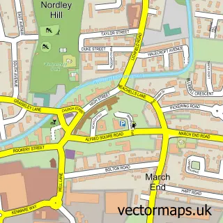
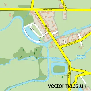
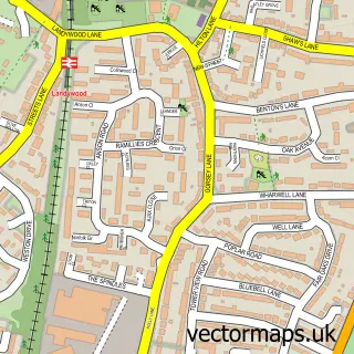
This Featherstone street map is a detailed vector street map covering a 750m x 750m area. Select a larger area to create and download your own vector street map of Featherstone.
The 750-metre map sample for Featherstone covers 495 mapped buildings and approximately 17.1 km of road detail, of which 38 named roads are named. The immediate area includes 1 school, 1 GP surgery, with 3 within 2 miles and 9 MOT stations within 2 miles. The wider area around Featherstone features 1 tourism point of interest and 1 food and drink venue. To create a larger or custom map of Featherstone, the map builder lets you define your own coverage area and download editable SVG, PDF and PNG files.
Create a larger editable map of Featherstone
Choose any area you need and generate a high-quality vector map instantly. Perfect for print, planning, design, business and personal use.

This Featherstone street map in Staffordshire is available as downloadable SVG, PDF and PNG map files, or as a printed map for planning, business, display, education, local information and design work. You can also create a larger custom map area using the map selector.
What this Featherstone map sample shows
Featherstone lies within Hilton Cp parish, part of Featherstone And Shareshill ward in the South Staffordshire District local authority area. The postcode geography for this area includes the WV postcode area, the WV10 postcode district and the WV10 7 postcode sector. Residents fall under the Nhs Staffordshire And Stoke-On-Trent Integrated Care Board for NHS services.
Local features near Featherstone
Within 2 milesAmenities and services in and around Featherstone.
Administrative and postcode information for Featherstone
The local authority covering Featherstone is South Staffordshire District, within the county of Staffordshire. The settlement lies within Featherstone And Shareshill ward and Hilton Cp civil parish. The WV10 postcode district and WV10 7 postcode sector serve the immediate area. NHS provision in the area is delivered through The Royal Wolverhampton Nhs Trust.
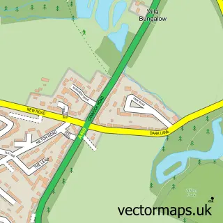
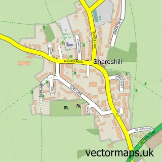
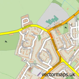
Nearby street map samples around Featherstone

More street maps in Staffordshire
750 metre map area coverage
Boundary, postcode and point of interest information for the 750m x 750m rectangle centred on this sample map.
Boundaries containing map centre
Constituency: Stone, Great Wyrley and Penkridge Co Const
County: Staffordshire County
District: South Staffordshire District
Icb: NHS Black Country ICB
Parish: Featherstone CP
Police Force: staffordshire
Postcode District: WV10
Postcode Sector: WV10 7
Ward: Featherstone, Sharehill & Saredon Ward
Nearby boundaries intersecting sample
Parish: Hilton CP
Postcode coverage
POI category counts
Convenience Store: 4
Beauty Salon: 2
Business To Business Services: 2
Elementary School: 2
Indian Restaurant: 2
Accommodation: 1
Advertising Agency: 1
Business Office Supplies And Stationery: 1
Cafe: 1
Carpet Store: 1
Sample points of interest
- Chillington Woods
- Inflatables UK
- Emma Louise Salon, Featherstone
- Martin Pauls
- Toner Wizard
- Upvc Houselift
- Upvc Houselift
- Featherstone cafe
- The Little Carpet Shop
- Featherstone Methodist Church
- Staffordshire County Council
- Featherstone and Hilton Community Centre
Create a larger editable map of Featherstone
This sample shows only a 750 metre area. To create a larger map of Featherstone, use our map builder to choose your own coverage area, add titles and download editable SVG, PDF and PNG files.
Create a custom map of Featherstone