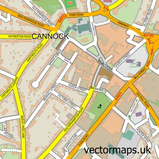
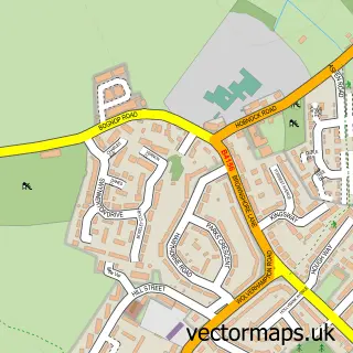
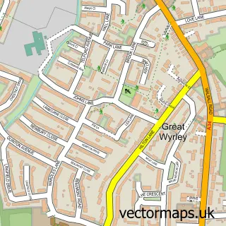
This Shareshill street map is a detailed vector street map covering a 750m x 750m area. Select a larger area to create and download your own vector street map of Shareshill.
The 750-metre map sample for Shareshill covers 169 mapped buildings and approximately 9.5 km of road detail, of which 16 named roads are named. The immediate area includes 1 school, 3 GP surgeries within 2 miles and 1 MOT station, with 6 within 2 miles. To create a larger or custom map of Shareshill, the map builder lets you define your own coverage area and download editable SVG, PDF and PNG files.
Create a larger editable map of Shareshill
Choose any area you need and generate a high-quality vector map instantly. Perfect for print, planning, design, business and personal use.

This Shareshill street map in Staffordshire is available as downloadable SVG, PDF and PNG map files, or as a printed map for planning, business, display, education, local information and design work. You can also create a larger custom map area using the map selector.
What this Shareshill map sample shows
Shareshill lies within Shareshill Cp parish, part of Featherstone And Shareshill ward in the South Staffordshire District local authority area. The postcode geography for this area includes the WV postcode area, the WV10 postcode district and the WV10 7 postcode sector. Residents fall under the Nhs Staffordshire And Stoke-On-Trent Integrated Care Board for NHS services.
Local features near Shareshill
Within 2 milesAmenities and services in and around Shareshill.
Administrative and postcode information for Shareshill
Shareshill lies within Shareshill Cp parish, part of Featherstone And Shareshill ward in the South Staffordshire District local authority area. The postcode geography for this area includes the WV postcode area, the WV10 postcode district and the WV10 7 postcode sector. Residents fall under the Nhs Staffordshire And Stoke-On-Trent Integrated Care Board for NHS services.
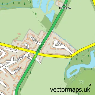
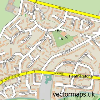
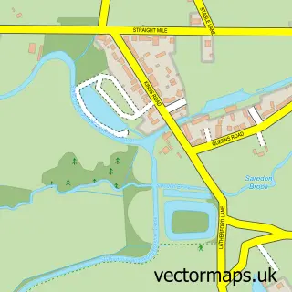
Nearby street map samples around Shareshill

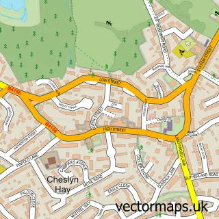
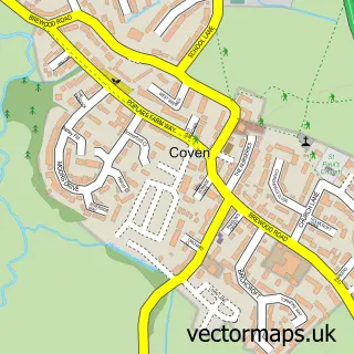
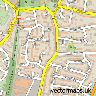
More street maps in Staffordshire
750 metre map area coverage
Boundary, postcode and point of interest information for the 750m x 750m rectangle centred on this sample map.
Boundaries containing map centre
Constituency: Stone, Great Wyrley and Penkridge Co Const
County: Staffordshire County
District: South Staffordshire District
Icb: NHS Black Country ICB
Parish: Shareshill CP
Police Force: staffordshire
Postcode District: WV10
Postcode Sector: WV10 7
Ward: Featherstone, Sharehill & Saredon Ward
Nearby boundaries intersecting sample
No additional intersecting boundaries found.
Postcode coverage
POI category counts
Gas Station: 3
Church Cathedral: 2
Driving School: 2
Post Office: 2
Professional Services: 2
Active Life: 1
Anglican Church: 1
Automotive Repair: 1
Automotive Services And Repair: 1
Beer Bar: 1
Sample points of interest
- Shareshill Village Hall
- Shareshill S.Mary and S.Luke
- A1 Clutch - Cannock
- Dial a Dog Wash
- The Elms
- Shareshill Church
- St Mary and St Luke Church
- Staffordshire County Council
- Brookfields Riding & Livery Centre
- Jill Wilson
- Planet Driving UK
- High Performance Training
Create a larger editable map of Shareshill
This sample shows only a 750 metre area. To create a larger map of Shareshill, use our map builder to choose your own coverage area, add titles and download editable SVG, PDF and PNG files.
Create a custom map of Shareshill