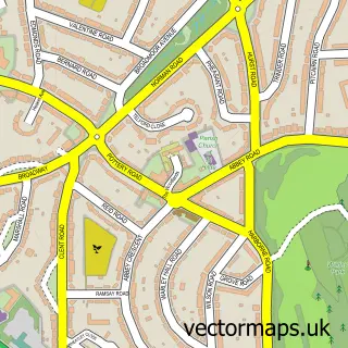
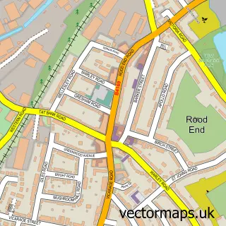
This Warley street map is a detailed vector street map covering a 750m x 750m area. Select a larger area to create and download your own vector street map of Warley.
The 750-metre map sample for Warley covers 543 mapped buildings and approximately 38.1 km of road detail, of which 30 named roads are named. The immediate area includes 25 GP surgeries within 2 miles and 43 MOT stations within 2 miles. The wider area around Warley features 1 tourism point of interest. To create a larger or custom map of Warley, the map builder lets you define your own coverage area and download editable SVG, PDF and PNG files.
Create a larger editable map of Warley
Choose any area you need and generate a high-quality vector map instantly. Perfect for print, planning, design, business and personal use.

This Warley street map in West Midlands is available as downloadable SVG, PDF and PNG map files, or as a printed map for planning, business, display, education, local information and design work. You can also create a larger custom map area using the map selector.
What this Warley map sample shows
Warley lies within Sandwell District (B) parish, part of Abbey ward in the Sandwell District (B) local authority area. The postcode geography for this area includes the B postcode area, the B66 postcode district and the B66 4 postcode sector. Residents fall under the Nhs Black Country Integrated Care Board for NHS services.
Local features near Warley
Within 2 milesAmenities and services in and around Warley.
Administrative and postcode information for Warley
Warley lies within Sandwell District (B) parish, part of Abbey ward in the Sandwell District (B) local authority area. The postcode geography for this area includes the B postcode area, the B66 postcode district and the B66 4 postcode sector. Residents fall under the Nhs Black Country Integrated Care Board for NHS services.
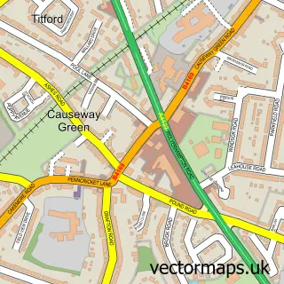
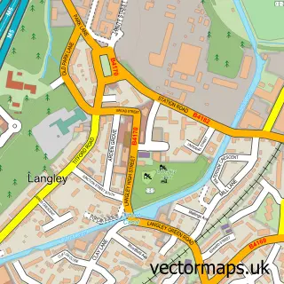
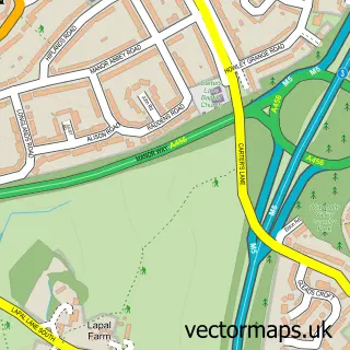
Nearby street map samples around Warley


More street maps in West Midlands
750 metre map area coverage
Boundary, postcode and point of interest information for the 750m x 750m rectangle centred on this sample map.
Boundaries containing map centre
Constituency: Smethwick Boro Const
District: Sandwell District (B)
Icb: NHS Black Country ICB
Police Force: west midlands
Postcode District: B67
Postcode Sector: B67 6
Ward: Bristnall Ward
Nearby boundaries intersecting sample
Postcode District: B68
Postcode Sector: B67 5, B68 9
Ward: Abbey Ward, Smethwick Ward
Postcode coverage
POI category counts
Doctor: 3
Art Gallery: 2
Elementary School: 2
Florist: 2
Flowers And Gifts Shop: 2
Package Locker: 2
Atms: 1
Attractions And Activities: 1
Automotive: 1
Automotive Repair: 1
Sample points of interest
- Capricorn Associates
- Sweetart Murals
- Quality Supermarket (Swap), Oldbury
- Salop Drive Market Garden
- Remote Key Man
- Auto Mobile Services
- Classic Barbers
- Kellybhair__
- Colours Painting & Decorating
- Pearson Knight Ltd
- Sandwell Metropolitan Borough Council
- Hurst Road Community Centre
Create a larger editable map of Warley
This sample shows only a 750 metre area. To create a larger map of Warley, use our map builder to choose your own coverage area, add titles and download editable SVG, PDF and PNG files.
Create a custom map of Warley