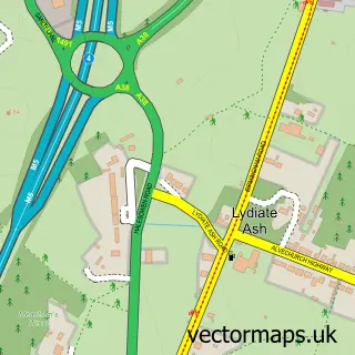
This Burcot street map is a detailed vector street map covering a 750m x 750m area. Select a larger area to create and download your own vector street map of Burcot.
The 750-metre map sample for Burcot covers 107 mapped buildings and approximately 19.0 km of road detail, of which 4 named roads are named. The immediate area includes 5 GP surgeries within 2 miles and 8 MOT stations within 2 miles. The wider area around Burcot features 1 tourism point of interest. To create a larger or custom map of Burcot, the map builder lets you define your own coverage area and download editable SVG, PDF and PNG files.
Create a larger editable map of Burcot
Choose any area you need and generate a high-quality vector map instantly. Perfect for print, planning, design, business and personal use.

This Burcot street map in Worcestershire is available as downloadable SVG, PDF and PNG map files, or as a printed map for planning, business, display, education, local information and design work. You can also create a larger custom map area using the map selector.
What this Burcot map sample shows
Burcot lies within Worcestershire County parish, part of Norton ward in the Bromsgrove District local authority area. The postcode geography for this area includes the B postcode area, the B60 postcode district and the B60 1 postcode sector. Residents fall under the Nhs Herefordshire And Worcestershire Integrated Care Board for NHS services.
Local features near Burcot
Within 2 milesAmenities and services in and around Burcot.
Administrative and postcode information for Burcot
Burcot lies within Worcestershire County parish, part of Norton ward in the Bromsgrove District local authority area. The postcode geography for this area includes the B postcode area, the B60 postcode district and the B60 1 postcode sector. Residents fall under the Nhs Herefordshire And Worcestershire Integrated Care Board for NHS services.
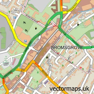
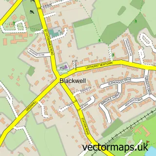
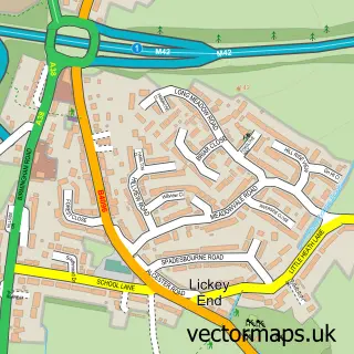
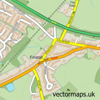
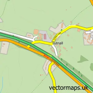
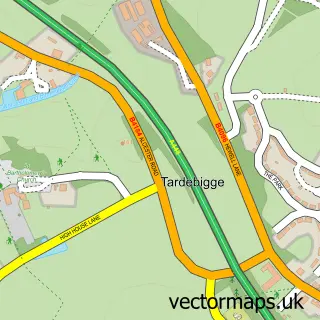
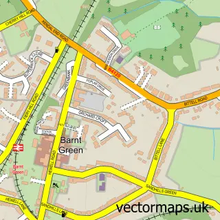
Nearby street map samples around Burcot

More street maps in Worcestershire
750 metre map area coverage
Boundary, postcode and point of interest information for the 750m x 750m rectangle centred on this sample map.
Boundaries containing map centre
Constituency: Bromsgrove Co Const
County: Worcestershire County
District: Bromsgrove District
Icb: NHS Herefordshire and Worcestershire ICB
Police Force: west mercia
Postcode District: B60
Postcode Sector: B60 1
Ward: Tardebigge Ward
Nearby boundaries intersecting sample
Parish: Lickey and Blackwell CP
Ward: Lickey Hills Ward, Norton Ward, Slideslow Ward
Postcode coverage
POI category counts
Appliance Store: 1
Bakery: 1
Community Center: 1
Community Services Non Profits: 1
Contractor: 1
Convenience Store: 1
Counseling And Mental Health: 1
Farm: 1
Landmark And Historical Building: 1
Professional Services: 1
Sample points of interest
- The Cosy Stove company
- Gracie-Rose Bakery
- Burcot Village Hall
- Burcot Woodturners
- The Art of Glass
- Blackwell
- Achieve Associates
- Burcot Livery Yard
- Burcot, Worcestershire
- Zoeparkesphotography
- Delta Design Cad Services
Create a larger editable map of Burcot
This sample shows only a 750 metre area. To create a larger map of Burcot, use our map builder to choose your own coverage area, add titles and download editable SVG, PDF and PNG files.
Create a custom map of Burcot