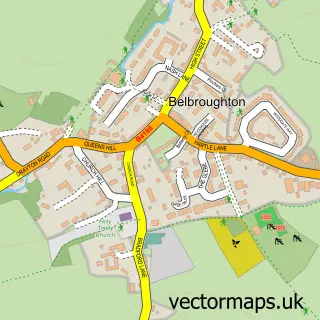
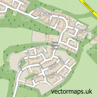
This Hagley street map is a detailed vector street map covering a 750m x 750m area. Select a larger area to create and download your own vector street map of Hagley.
The 750-metre map sample for Hagley covers 342 mapped buildings and approximately 47.5 km of road detail, of which 34 named roads are named. The immediate area includes 1 school, 1 railway station, 1 GP surgery, with 2 within 2 miles and 1 pub among other local services. The wider area around Hagley features 3 food and drink venues. To create a larger or custom map of Hagley, the map builder lets you define your own coverage area and download editable SVG, PDF and PNG files.
Create a larger editable map of Hagley
Choose any area you need and generate a high-quality vector map instantly. Perfect for print, planning, design, business and personal use.

This Hagley street map in Worcestershire is available as downloadable SVG, PDF and PNG map files, or as a printed map for planning, business, display, education, local information and design work. You can also create a larger custom map area using the map selector.
What this Hagley map sample shows
Hagley lies within Hagley Cp parish, part of Hagley West ward in the Bromsgrove District local authority area. The postcode geography for this area includes the DY postcode area, the DY9 postcode district and the DY9 0 postcode sector. Residents fall under the Nhs Herefordshire And Worcestershire Integrated Care Board for NHS services.
Local features near Hagley
Within 2 milesAmenities and services in and around Hagley.
Administrative and postcode information for Hagley
The local authority covering Hagley is Bromsgrove District, within the county of Worcestershire. The settlement lies within Hagley West ward and Hagley Cp civil parish. The DY9 postcode district and DY9 0 postcode sector serve the immediate area. NHS provision in the area is delivered through The Dudley Group Nhs Foundation Trust.
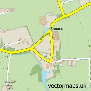
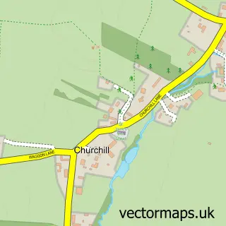
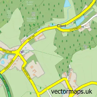
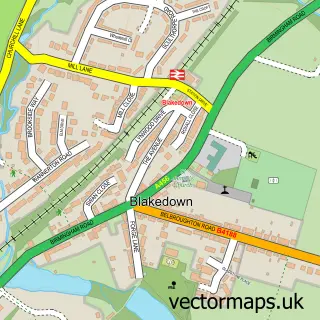
Nearby street map samples around Hagley

More street maps in Worcestershire
750 metre map area coverage
Boundary, postcode and point of interest information for the 750m x 750m rectangle centred on this sample map.
Boundaries containing map centre
Constituency: Bromsgrove Co Const
County: Worcestershire County
District: Bromsgrove District
Icb: NHS Herefordshire and Worcestershire ICB
Parish: Hagley CP
Police Force: west mercia
Postcode District: DY9
Postcode Sector: DY9 0
Ward: Hagley East Ward
Nearby boundaries intersecting sample
Constituency: Stourbridge Boro Const
District: Dudley District (B)
Icb: NHS Black Country ICB
Police Force: west midlands
Postcode District: DY8
Postcode Sector: DY8 2
Ward: Hagley West Ward, Norton Ward, Pedmore & Stourbridge East Ward
Postcode coverage
POI category counts
Church Cathedral: 4
Beauty Salon: 3
Convenience Store: 3
Professional Services: 3
Train Station: 3
Art Gallery: 2
Business Management Services: 2
Contractor: 2
Dentist: 2
Flowers And Gifts Shop: 2
Sample points of interest
- Hewinsons
- St Saviour
- Hagley Art Club
- Weiser Art
- Top Class Gallery
- Hear in Hagley Ltd
- West Midlands Car Detailing
- KRD Financial Advisers
- Rescue P C
- Lloyds Bank
- Barclays Bank
- West One Wine Bar
Create a larger editable map of Hagley
This sample shows only a 750 metre area. To create a larger map of Hagley, use our map builder to choose your own coverage area, add titles and download editable SVG, PDF and PNG files.
Create a custom map of Hagley