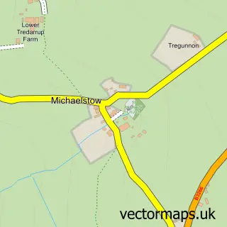
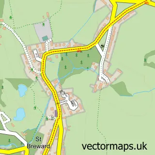
This Camelford street map is a detailed vector street map covering a 750m x 750m area. Select a larger area to create and download your own vector street map of Camelford.
The 750-metre map sample for Camelford covers 286 mapped buildings and approximately 12.5 km of road detail, of which 24 named roads are named. The immediate area includes 1 primary school and 1 secondary school, 1 GP surgery, 1 pub and 2 MOT stations, with 3 within 2 miles. The wider area around Camelford features 2 tourism points of interest, 3 food and drink venues and 4 hotels. To create a larger or custom map of Camelford, the map builder lets you define your own coverage area and download editable SVG, PDF and PNG files.
Create a larger editable map of Camelford
Choose any area you need and generate a high-quality vector map instantly. Perfect for print, planning, design, business and personal use.

This Camelford street map in Cornwall is available as downloadable SVG, PDF and PNG map files, or as a printed map for planning, business, display, education, local information and design work. You can also create a larger custom map area using the map selector.
What this Camelford map sample shows
Camelford lies within Camelford Cp parish, part of Camelford ward in the Cornwall local authority area. The postcode geography for this area includes the PL postcode area, the PL32 postcode district and the PL32 9 postcode sector. Residents fall under the Nhs Cornwall And The Isles Of Scilly Integrated Care Board for NHS services.
Local features near Camelford
Within 2 milesAmenities and services in and around Camelford.
Administrative and postcode information for Camelford
The local authority covering Camelford is Cornwall, within the county of Cornwall. The settlement lies within Camelford ward and Camelford Cp civil parish. The PL32 postcode district and PL32 9 postcode sector serve the immediate area. NHS provision in the area is delivered through Royal Cornwall Hospitals Nhs Trust.
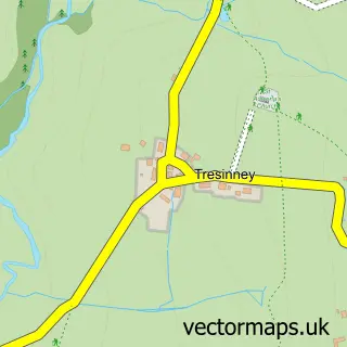
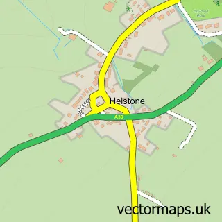
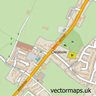
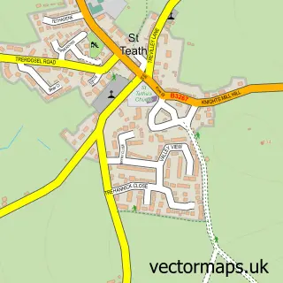
Nearby street map samples around Camelford

More street maps in Cornwall
750 metre map area coverage
Boundary, postcode and point of interest information for the 750m x 750m rectangle centred on this sample map.
Boundaries containing map centre
Constituency: North Cornwall Co Const
District: Cornwall
Icb: NHS Cornwall and the Isles of Scilly ICB
Parish: Camelford CP
Police Force: devon and cornwall
Postcode District: PL32
Postcode Sector: PL32 9
Nearby boundaries intersecting sample
Parish: Advent CP
Postcode coverage
POI category counts
Automotive Repair: 4
Banks: 4
Convenience Store: 4
Hotel: 4
Bed And Breakfast: 3
Church Cathedral: 3
Financial Service: 3
Holiday Rental Home: 3
Library: 3
Art Gallery: 2
Sample points of interest
- Rowe Accountancy and Tax Solutions
- Camelford: St Thomas of Canterbury
- Market Place
- Daniel Kavanagh Art
- The Camelford Gallery
- The Camel's Yarn
- Cornwall Studios
- Abbeyfield House
- The Cooperative Food Camelford
- Nelson Stokes
- E & D Couch
- High Street Garage
Create a larger editable map of Camelford
This sample shows only a 750 metre area. To create a larger map of Camelford, use our map builder to choose your own coverage area, add titles and download editable SVG, PDF and PNG files.
Create a custom map of Camelford