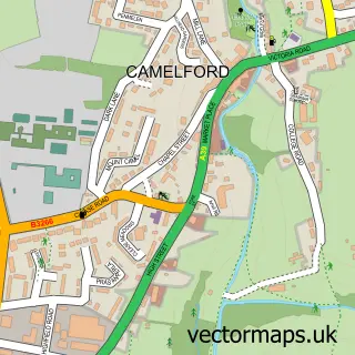
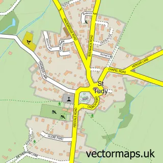
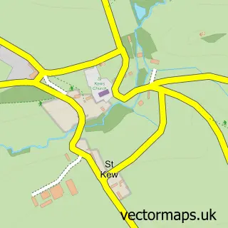
This St Teath street map is a detailed vector street map covering a 750m x 750m area. Select a larger area to create and download your own vector street map of St Teath.
The 750-metre map sample for St Teath covers 264 mapped buildings and approximately 11.6 km of road detail, of which 14 named roads are named. The immediate area includes 1 school and 1 pub. The wider area around St Teath features 2 food and drink venues, 3 hotels and 2 campsites within 2 miles. To create a larger or custom map of St Teath, the map builder lets you define your own coverage area and download editable SVG, PDF and PNG files.
Create a larger editable map of St Teath
Choose any area you need and generate a high-quality vector map instantly. Perfect for print, planning, design, business and personal use.

This St Teath street map in Cornwall is available as downloadable SVG, PDF and PNG map files, or as a printed map for planning, business, display, education, local information and design work. You can also create a larger custom map area using the map selector.
What this St Teath map sample shows
St Teath lies within St. Teath Cp parish, part of St Teath And St Breward ward in the Cornwall local authority area. The postcode geography for this area includes the PL postcode area, the PL30 postcode district and the PL30 3 postcode sector. Residents fall under the Nhs Cornwall And The Isles Of Scilly Integrated Care Board for NHS services.
Local features near St Teath
Within 2 milesAmenities and services in and around St Teath.
Administrative and postcode information for St Teath
The local authority covering St Teath is Cornwall, within the county of Cornwall. The settlement lies within St Teath And St Breward ward and St. Teath Cp civil parish. The PL30 postcode district and PL30 3 postcode sector serve the immediate area. NHS provision in the area is delivered through Royal Cornwall Hospitals Nhs Trust.
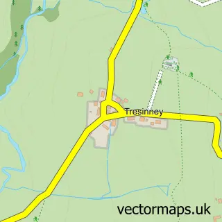
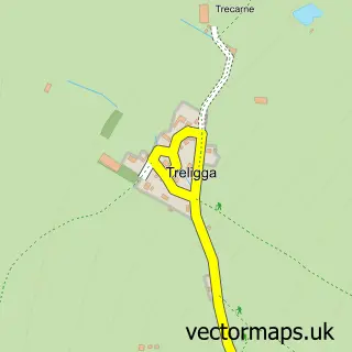
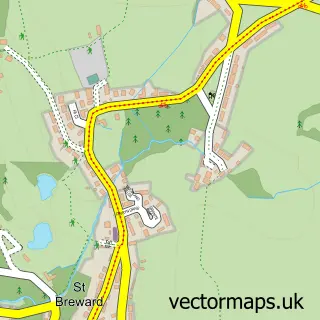
Nearby street map samples around St Teath

More street maps in Cornwall
750 metre map area coverage
Boundary, postcode and point of interest information for the 750m x 750m rectangle centred on this sample map.
Boundaries containing map centre
Constituency: North Cornwall Co Const
District: Cornwall
Icb: NHS Cornwall and the Isles of Scilly ICB
Parish: St. Teath CP
Police Force: devon and cornwall
Postcode District: PL30
Postcode Sector: PL30 3
Nearby boundaries intersecting sample
No additional intersecting boundaries found.
Postcode coverage
POI category counts
Hotel: 3
Post Office: 3
Church Cathedral: 2
Anglican Church: 1
Beach: 1
Beauty Salon: 1
Building Contractor: 1
Building Supply Store: 1
Cafe: 1
Community Center: 1
Sample points of interest
- St Teath: St Tetha
- Polzeath Beach, Cornwal
- Beauty by Fleur
- Ross Commins Fencing
- John Wood Electrical
- Churchtown Cafe
- St Teath Church Hall
- St Teatha
- St Teath Community Centre
- The Party People
- James Jasper Electrical
- St Teath C.P. School
Create a larger editable map of St Teath
This sample shows only a 750 metre area. To create a larger map of St Teath, use our map builder to choose your own coverage area, add titles and download editable SVG, PDF and PNG files.
Create a custom map of St Teath