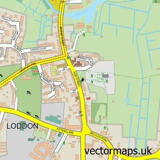
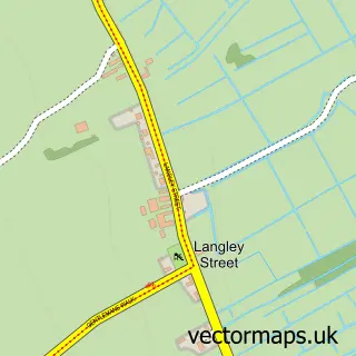
This Cantley street map is a detailed vector street map covering a 750m x 750m area. Select a larger area to create and download your own vector street map of Cantley.
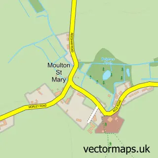
The 750-metre map sample for Cantley covers 227 mapped buildings and approximately 8.9 km of road detail, of which 14 named roads are named. The immediate area includes 1 railway station. To create a larger or custom map of Cantley, the map builder lets you define your own coverage area and download editable SVG, PDF and PNG files.
Create a larger editable map of Cantley
Choose any area you need and generate a high-quality vector map instantly. Perfect for print, planning, design, business and personal use.

This Cantley street map in Norfolk is available as downloadable SVG, PDF and PNG map files, or as a printed map for planning, business, display, education, local information and design work. You can also create a larger custom map area using the map selector.
What this Cantley map sample shows
Cantley lies within Cantley, Limpenhoe And Southwood Cp parish, part of Brundall ward in the Broadland District local authority area. The postcode geography for this area includes the NR postcode area, the NR13 postcode district and the NR13 3 postcode sector. Residents fall under the Nhs Norfolk And Waveney Integrated Care Board for NHS services.
Local features near Cantley
Within 2 milesAmenities and services in and around Cantley.
Administrative and postcode information for Cantley
The local authority covering Cantley is Broadland District, within the county of Norfolk. The settlement lies within Brundall ward and Cantley, Limpenhoe And Southwood Cp civil parish. The NR13 postcode district and NR13 3 postcode sector serve the immediate area. NHS provision in the area is delivered through Norfolk And Norwich University Hospitals Nhs Foundation Trust.
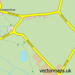
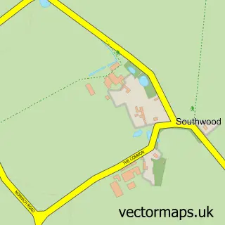
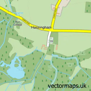
Nearby street map samples around Cantley

More street maps in Norfolk
750 metre map area coverage
Boundary, postcode and point of interest information for the 750m x 750m rectangle centred on this sample map.
Boundaries containing map centre
Constituency: Broadland and Fakenham Co Const
County: Norfolk County
District: Broadland District
Icb: NHS Norfolk and Waveney ICB
Parish: Cantley, Limpenhoe and Southwood CP
Police Force: norfolk
Postcode District: NR13
Postcode Sector: NR13 3
Ward: Brundall Ward
Nearby boundaries intersecting sample
No additional intersecting boundaries found.
Postcode coverage
POI category counts
Train Station: 2
Anglican Church: 1
Contractor: 1
Eat And Drink: 1
Funeral Services And Cemeteries: 1
Gym: 1
It Service And Computer Repair: 1
Landscaping: 1
Motorcycle Repair: 1
Package Locker: 1
Sample points of interest
- Cantley: St Margaret
- Cantley Boiler Care
- British Sugar PLC
- Funeral Plans-UK
- AWOL Health and Fitness
- Yare Valley Technical Services
- Virid Landscapes
- Iron Butt Racers
- Amazon Locker - trey
- Physiotherapy2u
- Seachelles Swim School
- Cantley
Create a larger editable map of Cantley
This sample shows only a 750 metre area. To create a larger map of Cantley, use our map builder to choose your own coverage area, add titles and download editable SVG, PDF and PNG files.
Create a custom map of Cantley