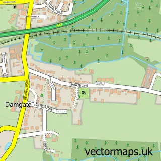
This Moulton St Mary street map is a detailed vector street map covering a 750m x 750m area. Select a larger area to create and download your own vector street map of Moulton St Mary.
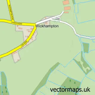
The 750-metre map sample for Moulton St Mary covers 65 mapped buildings and approximately 4.3 km of road detail, of which 3 named roads are named. The immediate area includes 1 GP surgery within 2 miles and 1 MOT station within 2 miles. The wider area around Moulton St Mary features 1 tourism point of interest and 1 campsite within 2 miles. To create a larger or custom map of Moulton St Mary, the map builder lets you define your own coverage area and download editable SVG, PDF and PNG files.
Create a larger editable map of Moulton St Mary
Choose any area you need and generate a high-quality vector map instantly. Perfect for print, planning, design, business and personal use.

This Moulton St Mary street map in Norfolk is available as downloadable SVG, PDF and PNG map files, or as a printed map for planning, business, display, education, local information and design work. You can also create a larger custom map area using the map selector.
What this Moulton St Mary map sample shows
Moulton St Mary lies within Beighton Cp parish, part of Marshes ward in the Broadland District local authority area. The postcode geography for this area includes the NR postcode area, the NR13 postcode district and the NR13 3 postcode sector. Residents fall under the Nhs Norfolk And Waveney Integrated Care Board for NHS services.
Local features near Moulton St Mary
Within 2 milesAmenities and services in and around Moulton St Mary.
Administrative and postcode information for Moulton St Mary
Moulton St Mary lies within Beighton Cp parish, part of Marshes ward in the Broadland District local authority area. The postcode geography for this area includes the NR postcode area, the NR13 postcode district and the NR13 3 postcode sector. Residents fall under the Nhs Norfolk And Waveney Integrated Care Board for NHS services.
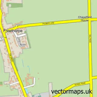
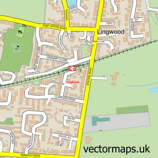
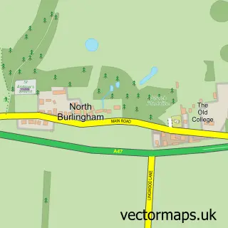
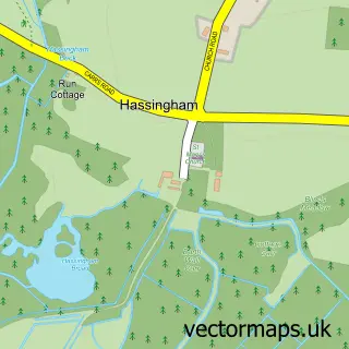
Nearby street map samples around Moulton St Mary
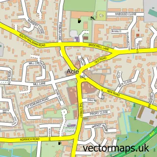

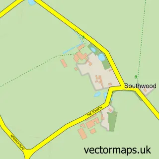
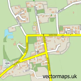
More street maps in Norfolk
750 metre map area coverage
Boundary, postcode and point of interest information for the 750m x 750m rectangle centred on this sample map.
Boundaries containing map centre
Constituency: Broadland and Fakenham Co Const
County: Norfolk County
District: Broadland District
Icb: NHS Norfolk and Waveney ICB
Parish: Beighton CP
Police Force: norfolk
Postcode District: NR13
Postcode Sector: NR13 3
Ward: Marshes Ward
Nearby boundaries intersecting sample
Parish: Acle CP
Ward: Acle Ward
Postcode coverage
POI category counts
Nursery And Gardening: 3
Antique Store: 1
Arts And Crafts: 1
Brake Service And Repair: 1
Cheese Shop: 1
Church Cathedral: 1
Gift Shop: 1
Landmark And Historical Building: 1
Used Car Dealer: 1
Sample points of interest
- J J vintage
- wool shak
- G R Carter Motors
- Lemon Tree Fine Foods
- Moulton St Mary
- Jessie's Country Crafts
- Broadland Birds
- MH Mowers and Garden Machinery
- Moulton Nurseries Garden Centre and Coffee Shop
- Willimott Plants
- G R Carter Motors
Create a larger editable map of Moulton St Mary
This sample shows only a 750 metre area. To create a larger map of Moulton St Mary, use our map builder to choose your own coverage area, add titles and download editable SVG, PDF and PNG files.
Create a custom map of Moulton St Mary