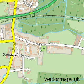
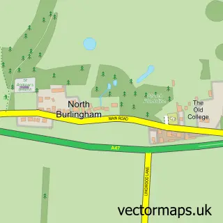
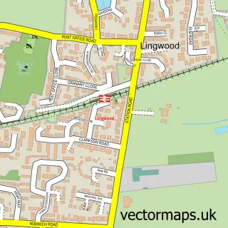
This Acle street map is a detailed vector street map covering a 750m x 750m area. Select a larger area to create and download your own vector street map of Acle.
The 750-metre map sample for Acle covers 558 mapped buildings and approximately 16.8 km of road detail, of which 33 named roads are named. The immediate area includes 1 GP surgery and 1 MOT station within 2 miles. The wider area around Acle features 2 tourism points of interest, 5 food and drink venues and 3 hotels. To create a larger or custom map of Acle, the map builder lets you define your own coverage area and download editable SVG, PDF and PNG files.
Create a larger editable map of Acle
Choose any area you need and generate a high-quality vector map instantly. Perfect for print, planning, design, business and personal use.

This Acle street map in Norfolk is available as downloadable SVG, PDF and PNG map files, or as a printed map for planning, business, display, education, local information and design work. You can also create a larger custom map area using the map selector.
What this Acle map sample shows
Acle lies within Acle Cp parish, part of Acle ward in the Broadland District local authority area. The postcode geography for this area includes the NR postcode area, the NR13 postcode district and the NR13 3 postcode sector. Residents fall under the Nhs Norfolk And Waveney Integrated Care Board for NHS services.
Local features near Acle
Within 2 milesAmenities and services in and around Acle.
Administrative and postcode information for Acle
Acle lies within Acle Cp parish, part of Acle ward in the Broadland District local authority area. The postcode geography for this area includes the NR postcode area, the NR13 postcode district and the NR13 3 postcode sector. Residents fall under the Nhs Norfolk And Waveney Integrated Care Board for NHS services.
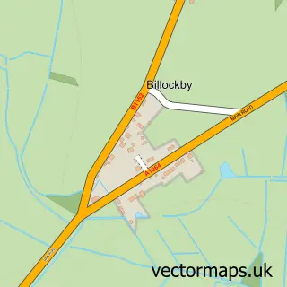
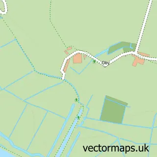
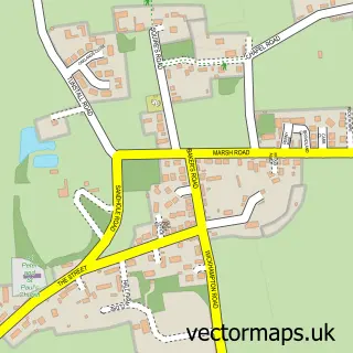
Nearby street map samples around Acle

More street maps in Norfolk
750 metre map area coverage
Boundary, postcode and point of interest information for the 750m x 750m rectangle centred on this sample map.
Boundaries containing map centre
Constituency: Broadland and Fakenham Co Const
County: Norfolk County
District: Broadland District
Icb: NHS Norfolk and Waveney ICB
Parish: Acle CP
Police Force: norfolk
Postcode District: NR13
Postcode Sector: NR13 3
Ward: Acle Ward
Nearby boundaries intersecting sample
No additional intersecting boundaries found.
Postcode coverage
POI category counts
Coffee Shop: 4
Legal Services: 4
Beauty Salon: 3
Funeral Services And Cemeteries: 3
Hotel: 3
Advertising Agency: 2
Auction House: 2
Cafe: 2
Convenience Store: 2
Courier And Delivery Services: 2
Sample points of interest
- Stephenson Smart Accountants
- Benthic Sciences
- Evolved Media
- Acle: St Edmund King and Martyr
- GJ Building Surveying Services
- The Studio Above
- Isabella's Pottery Barn
- Herondale
- BP - Acle SF Connect
- Horners Auctioneers
- Horners Auctioneers
- Acle Bakes And Cakes
Create a larger editable map of Acle
This sample shows only a 750 metre area. To create a larger map of Acle, use our map builder to choose your own coverage area, add titles and download editable SVG, PDF and PNG files.
Create a custom map of Acle