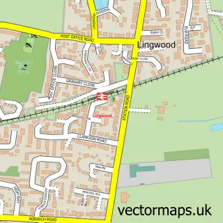
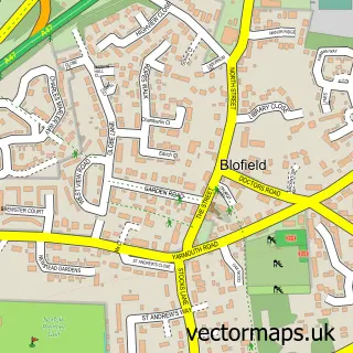
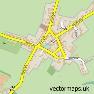
This North Burlingham street map is a detailed vector street map covering a 750m x 750m area. Select a larger area to create and download your own vector street map of North Burlingham.
The 750-metre map sample for North Burlingham covers 40 mapped buildings and approximately 5.6 km of road detail, of which 2 named roads are named. The immediate area includes 1 GP surgery within 2 miles and 1 MOT station within 2 miles. The wider area around North Burlingham features 1 tourism point of interest and 2 hotels. To create a larger or custom map of North Burlingham, the map builder lets you define your own coverage area and download editable SVG, PDF and PNG files.
Create a larger editable map of North Burlingham
Choose any area you need and generate a high-quality vector map instantly. Perfect for print, planning, design, business and personal use.

This North Burlingham street map in Norfolk is available as downloadable SVG, PDF and PNG map files, or as a printed map for planning, business, display, education, local information and design work. You can also create a larger custom map area using the map selector.
What this North Burlingham map sample shows
North Burlingham lies within Lingwood And Burlingham Cp parish, part of Burlingham ward in the Broadland District local authority area. The postcode geography for this area includes the NR postcode area, the NR13 postcode district and the NR13 4 postcode sector. Residents fall under the Nhs Norfolk And Waveney Integrated Care Board for NHS services.
Local features near North Burlingham
Within 2 milesAmenities and services in and around North Burlingham.
Administrative and postcode information for North Burlingham
The local authority covering North Burlingham is Broadland District, within the county of Norfolk. The settlement lies within Burlingham ward and Lingwood And Burlingham Cp civil parish. The NR13 postcode district and NR13 4 postcode sector serve the immediate area. NHS provision in the area is delivered through Norfolk And Norwich University Hospitals Nhs Foundation Trust.
Nearby street map samples around North Burlingham
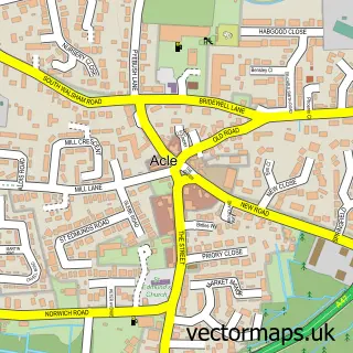

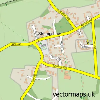
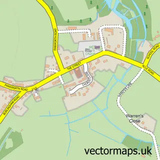
More street maps in Norfolk
750 metre map area coverage
Boundary, postcode and point of interest information for the 750m x 750m rectangle centred on this sample map.
Boundaries containing map centre
Constituency: Broadland and Fakenham Co Const
County: Norfolk County
District: Broadland District
Icb: NHS Norfolk and Waveney ICB
Parish: Lingwood and Burlingham CP
Police Force: norfolk
Postcode District: NR13
Postcode Sector: NR13 4
Ward: Burlingham Ward
Nearby boundaries intersecting sample
No additional intersecting boundaries found.
Postcode coverage
POI category counts
Hotel: 2
Anglican Church: 1
Building Supply Store: 1
Business: 1
Church Cathedral: 1
Construction Services: 1
Furniture Store: 1
Metal Fabricator: 1
Nursery And Gardening: 1
Park: 1
Sample points of interest
- North Burlingham: St Andrew & St Peter
- Specialist Conservatory Roof Systems Ltd.
- Deliver 365 Ltd
- St Andrew's Church
- Burlingham Buildings
- Belle Vue Interiors
- Church Farm Norfolk
- Garden Lodge & Old College Glamping
- Marine fabrication UK
- British Wild Flower Plants
- Burlingham Woods
- Burlingham House Residential Home
Create a larger editable map of North Burlingham
This sample shows only a 750 metre area. To create a larger map of North Burlingham, use our map builder to choose your own coverage area, add titles and download editable SVG, PDF and PNG files.
Create a custom map of North Burlingham