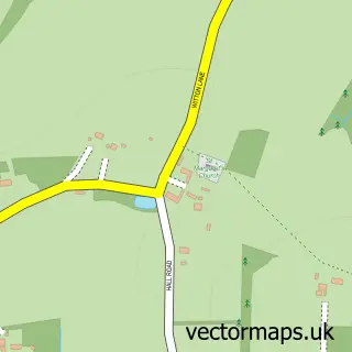
This Strumpshaw street map is a detailed vector street map covering a 750m x 750m area. Select a larger area to create and download your own vector street map of Strumpshaw.
The 750-metre map sample for Strumpshaw covers 179 mapped buildings and approximately 10.1 km of road detail, of which 12 named roads are named. The immediate area includes 2 GP surgeries within 2 miles, 2 pubs and 4 MOT stations within 2 miles. The wider area around Strumpshaw features 2 food and drink venues. To create a larger or custom map of Strumpshaw, the map builder lets you define your own coverage area and download editable SVG, PDF and PNG files.
Create a larger editable map of Strumpshaw
Choose any area you need and generate a high-quality vector map instantly. Perfect for print, planning, design, business and personal use.

This Strumpshaw street map in Norfolk is available as downloadable SVG, PDF and PNG map files, or as a printed map for planning, business, display, education, local information and design work. You can also create a larger custom map area using the map selector.
What this Strumpshaw map sample shows
Strumpshaw lies within Strumpshaw Cp parish, part of Brundall ward in the Broadland District local authority area. The postcode geography for this area includes the NR postcode area, the NR13 postcode district and the NR13 4 postcode sector. Residents fall under the Nhs Norfolk And Waveney Integrated Care Board for NHS services.
Local features near Strumpshaw
Within 2 milesAmenities and services in and around Strumpshaw.
Administrative and postcode information for Strumpshaw
The local authority covering Strumpshaw is Broadland District, within the county of Norfolk. The settlement lies within Brundall ward and Strumpshaw Cp civil parish. The NR13 postcode district and NR13 4 postcode sector serve the immediate area. NHS provision in the area is delivered through Norfolk And Norwich University Hospitals Nhs Foundation Trust.
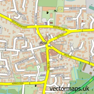
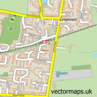
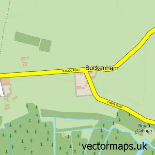
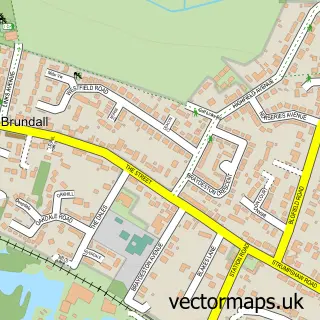
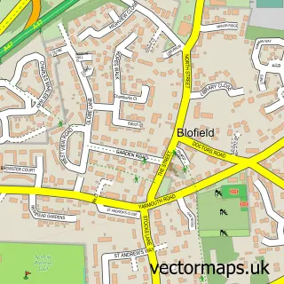
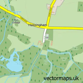
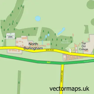
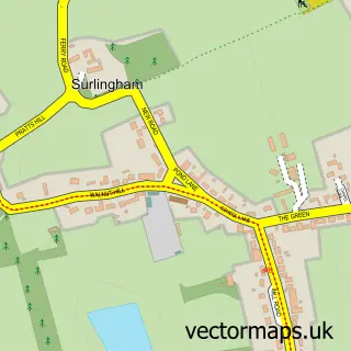
Nearby street map samples around Strumpshaw

More street maps in Norfolk
750 metre map area coverage
Boundary, postcode and point of interest information for the 750m x 750m rectangle centred on this sample map.
Boundaries containing map centre
Constituency: Broadland and Fakenham Co Const
County: Norfolk County
District: Broadland District
Icb: NHS Norfolk and Waveney ICB
Parish: Strumpshaw CP
Police Force: norfolk
Postcode District: NR13
Postcode Sector: NR13 4
Ward: Brundall Ward
Nearby boundaries intersecting sample
No additional intersecting boundaries found.
Postcode coverage
POI category counts
Pub: 2
Anglican Church: 1
Beauty Salon: 1
Community Center: 1
Equestrian Facility: 1
Home Developer: 1
Hvac Services: 1
Pet Services: 1
Professional Services: 1
Tree Services: 1
Sample points of interest
- Strumpshaw: St Peter
- The Garden Hair Studio
- Strumpshaw Community Hall
- Strumpshaw Riding Centre
- Northacres Development
- A Better Service
- Paula Fenton Pet Portraits
- Matt Smith Photography
- Shoulder Of Mutton
- The Shoulder of Mutton
- Crown Tree Services
- Illumis Lights
Create a larger editable map of Strumpshaw
This sample shows only a 750 metre area. To create a larger map of Strumpshaw, use our map builder to choose your own coverage area, add titles and download editable SVG, PDF and PNG files.
Create a custom map of Strumpshaw