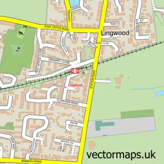
This Brundall street map is a detailed vector street map covering a 750m x 750m area. Select a larger area to create and download your own vector street map of Brundall.
The 750-metre map sample for Brundall covers 463 mapped buildings and approximately 11.4 km of road detail, of which 27 named roads are named. The immediate area includes 1 school, 1 GP surgery, with 2 within 2 miles and 1 MOT station, with 5 within 2 miles. The wider area around Brundall features 2 food and drink venues and 1 campsite within 2 miles. To create a larger or custom map of Brundall, the map builder lets you define your own coverage area and download editable SVG, PDF and PNG files.
Create a larger editable map of Brundall
Choose any area you need and generate a high-quality vector map instantly. Perfect for print, planning, design, business and personal use.

This Brundall street map in Norfolk is available as downloadable SVG, PDF and PNG map files, or as a printed map for planning, business, display, education, local information and design work. You can also create a larger custom map area using the map selector.
What this Brundall map sample shows
Brundall lies within Brundall Cp parish, part of Brundall ward in the Broadland District local authority area. The postcode geography for this area includes the NR postcode area, the NR13 postcode district and the NR13 5 postcode sector. Residents fall under the Nhs Norfolk And Waveney Integrated Care Board for NHS services.
Local features near Brundall
Within 2 milesAmenities and services in and around Brundall.
Administrative and postcode information for Brundall
The local authority covering Brundall is Broadland District, within the county of Norfolk. The settlement lies within Brundall ward and Brundall Cp civil parish. The NR13 postcode district and NR13 5 postcode sector serve the immediate area. NHS provision in the area is delivered through Norfolk And Norwich University Hospitals Nhs Foundation Trust.
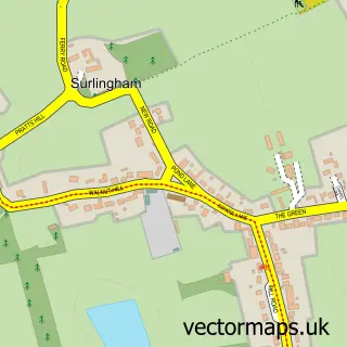
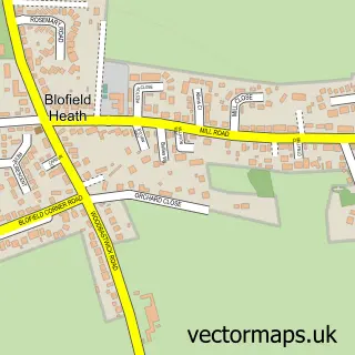
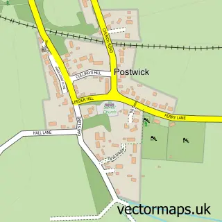
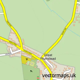
Nearby street map samples around Brundall

More street maps in Norfolk
750 metre map area coverage
Boundary, postcode and point of interest information for the 750m x 750m rectangle centred on this sample map.
Boundaries containing map centre
Constituency: Broadland and Fakenham Co Const
County: Norfolk County
District: Broadland District
Icb: NHS Norfolk and Waveney ICB
Parish: Brundall CP
Police Force: norfolk
Postcode District: NR13
Postcode Sector: NR13 5
Ward: Brundall Ward
Nearby boundaries intersecting sample
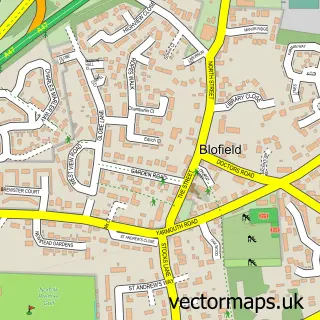
Parish: Blofield CP
Postcode Sector: NR13 4
Ward: Blofield with South Walsham Ward
Postcode coverage
POI category counts
Professional Services: 4
Doctor: 3
Beauty Salon: 2
Convenience Store: 2
Retirement Home: 2
Active Life: 1
Assisted Living Facility: 1
Automotive: 1
Automotive Repair: 1
Building Supply Store: 1
Sample points of interest
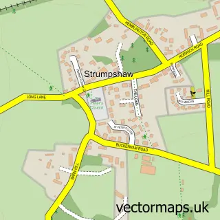
- Strumpshaw Riding Centre
- Brundall Nursing Home
- Webb Boats
- Brundall Manor Garage
- Beauty by Victoria
- Meadowbrook Hair Studio
- Pristine Painting & Decorating
- The Elite Hire Company- Mobile Showers
- Post Office-Brundall
- New World
- Costa Express
- MJM Building Services
Create a larger editable map of Brundall
This sample shows only a 750 metre area. To create a larger map of Brundall, use our map builder to choose your own coverage area, add titles and download editable SVG, PDF and PNG files.
Create a custom map of Brundall