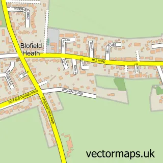
This Blofield street map is a detailed vector street map covering a 750m x 750m area. Select a larger area to create and download your own vector street map of Blofield.
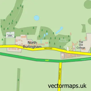
The 750-metre map sample for Blofield covers 523 mapped buildings and approximately 19.7 km of road detail, of which 38 named roads are named. The immediate area includes 1 school, 1 GP surgery, with 2 within 2 miles, 3 pubs and 1 MOT station, with 5 within 2 miles. The wider area around Blofield features 3 food and drink venues and 1 campsite within 2 miles. To create a larger or custom map of Blofield, the map builder lets you define your own coverage area and download editable SVG, PDF and PNG files.
Create a larger editable map of Blofield
Choose any area you need and generate a high-quality vector map instantly. Perfect for print, planning, design, business and personal use.

This Blofield street map in Norfolk is available as downloadable SVG, PDF and PNG map files, or as a printed map for planning, business, display, education, local information and design work. You can also create a larger custom map area using the map selector.
What this Blofield map sample shows
Blofield lies within Blofield Cp parish, part of Blofield With South Walsham ward in the Broadland District local authority area. The postcode geography for this area includes the NR postcode area, the NR13 postcode district and the NR13 4 postcode sector. Residents fall under the Nhs Norfolk And Waveney Integrated Care Board for NHS services.
Local features near Blofield
Within 2 milesAmenities and services in and around Blofield.
Administrative and postcode information for Blofield
Blofield lies within Blofield Cp parish, part of Blofield With South Walsham ward in the Broadland District local authority area. The postcode geography for this area includes the NR postcode area, the NR13 postcode district and the NR13 4 postcode sector. Residents fall under the Nhs Norfolk And Waveney Integrated Care Board for NHS services.
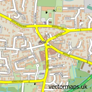
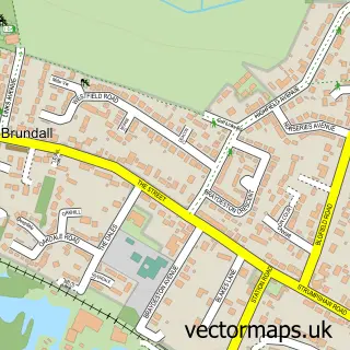
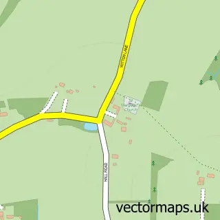
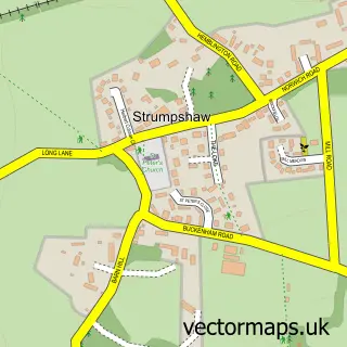
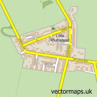
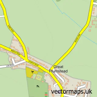
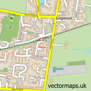
Nearby street map samples around Blofield

More street maps in Norfolk
750 metre map area coverage
Boundary, postcode and point of interest information for the 750m x 750m rectangle centred on this sample map.
Boundaries containing map centre
Constituency: Broadland and Fakenham Co Const
County: Norfolk County
District: Broadland District
Icb: NHS Norfolk and Waveney ICB
Parish: Blofield CP
Police Force: norfolk
Postcode District: NR13
Postcode Sector: NR13 4
Ward: Blofield with South Walsham Ward
Nearby boundaries intersecting sample
No additional intersecting boundaries found.
Postcode coverage
POI category counts
Convenience Store: 5
Pub: 3
Beauty Salon: 2
Elementary School: 2
Fish And Chips Restaurant: 2
Scout Hall: 2
Shipping Center: 2
Advertising Agency: 1
Assisted Living Facility: 1
Automotive Repair: 1
Sample points of interest
- Pinstripe P R
- Apple Homecare
- Three Keys Garage
- Harmony Hair and Beauty
- The Beauty Drop Norwich
- Blofield Courthouse
- Local Builder MJM
- Londis
- Premier
- Premier Blofield Post Office
- SPAR Blofield
- Spar
Create a larger editable map of Blofield
This sample shows only a 750 metre area. To create a larger map of Blofield, use our map builder to choose your own coverage area, add titles and download editable SVG, PDF and PNG files.
Create a custom map of Blofield