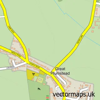
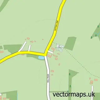
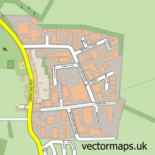
This Little Plumstead street map is a detailed vector street map covering a 750m x 750m area. Select a larger area to create and download your own vector street map of Little Plumstead.
The 750-metre map sample for Little Plumstead covers 210 mapped buildings and approximately 10.4 km of road detail, of which 12 named roads are named. The immediate area includes 1 GP surgery within 2 miles and 3 MOT stations within 2 miles. The wider area around Little Plumstead features 1 campsite within 2 miles. To create a larger or custom map of Little Plumstead, the map builder lets you define your own coverage area and download editable SVG, PDF and PNG files.
Create a larger editable map of Little Plumstead
Choose any area you need and generate a high-quality vector map instantly. Perfect for print, planning, design, business and personal use.

This Little Plumstead street map in Norfolk is available as downloadable SVG, PDF and PNG map files, or as a printed map for planning, business, display, education, local information and design work. You can also create a larger custom map area using the map selector.
What this Little Plumstead map sample shows
Little Plumstead lies within Great And Little Plumstead Cp parish, part of Plumstead ward in the Broadland District local authority area. The postcode geography for this area includes the NR postcode area, the NR13 postcode district and the NR13 5 postcode sector. Residents fall under the Nhs Norfolk And Waveney Integrated Care Board for NHS services.
Local features near Little Plumstead
Within 2 milesAmenities and services in and around Little Plumstead.
Administrative and postcode information for Little Plumstead
The local authority covering Little Plumstead is Broadland District, within the county of Norfolk. The settlement lies within Plumstead ward and Great And Little Plumstead Cp civil parish. The NR13 postcode district and NR13 5 postcode sector serve the immediate area. NHS provision in the area is delivered through Norfolk And Norwich University Hospitals Nhs Foundation Trust.
Nearby street map samples around Little Plumstead
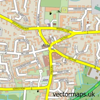

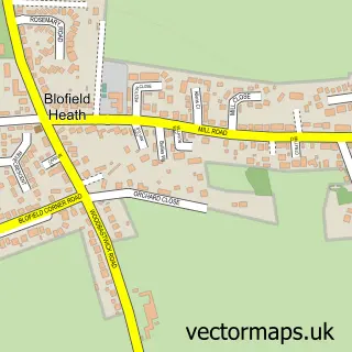
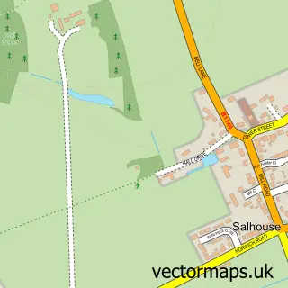
More street maps in Norfolk
750 metre map area coverage
Boundary, postcode and point of interest information for the 750m x 750m rectangle centred on this sample map.
Boundaries containing map centre
Constituency: Broadland and Fakenham Co Const
County: Norfolk County
District: Broadland District
Icb: NHS Norfolk and Waveney ICB
Parish: Great and Little Plumstead CP
Police Force: norfolk
Postcode District: NR13
Postcode Sector: NR13 5
Ward: Plumstead Ward
Nearby boundaries intersecting sample
Parish: Blofield CP
Postcode Sector: NR13 4
Ward: Blofield with South Walsham Ward
Postcode coverage
POI category counts
Flowers And Gifts Shop: 2
Naturopathic Holistic: 2
Alternative Medicine: 1
Beauty And Spa: 1
Beauty Salon: 1
Building Supply Store: 1
Community Center: 1
Construction Services: 1
Contractor: 1
Dance School: 1
Sample points of interest
- Broadland Bowen
- Foxy Hair and Beauty
- Beauty by louisa-norwich
- Oven Valet Services
- little plumstead stay and play
- Blueriver Steel Ltd
- J M B Flooring
- Chloe Elizabeth School of Dance
- Flowers by Kathy
- Jasmines Flowers Little Plumstead
- Broadland Bowen
- Deborah Trafford Acupuncture and Reflexology Clinic
Create a larger editable map of Little Plumstead
This sample shows only a 750 metre area. To create a larger map of Little Plumstead, use our map builder to choose your own coverage area, add titles and download editable SVG, PDF and PNG files.
Create a custom map of Little Plumstead