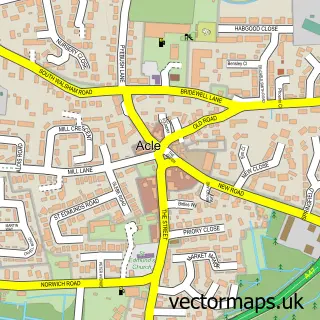
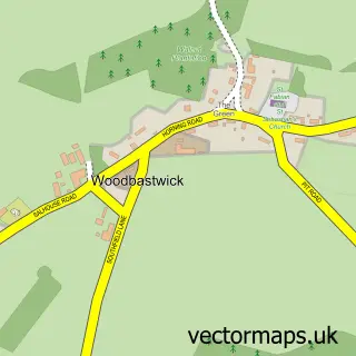
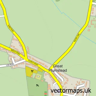
This Salhouse street map is a detailed vector street map covering a 750m x 750m area. Select a larger area to create and download your own vector street map of Salhouse.
The 750-metre map sample for Salhouse covers 103 mapped buildings and approximately 8.2 km of road detail, of which 10 named roads are named. The immediate area includes 2 pubs and 4 MOT stations within 2 miles. The wider area around Salhouse features 3 food and drink venues, 1 hotel and 1 campsite within 2 miles. To create a larger or custom map of Salhouse, the map builder lets you define your own coverage area and download editable SVG, PDF and PNG files.
Create a larger editable map of Salhouse
Choose any area you need and generate a high-quality vector map instantly. Perfect for print, planning, design, business and personal use.

This Salhouse street map in Norfolk is available as downloadable SVG, PDF and PNG map files, or as a printed map for planning, business, display, education, local information and design work. You can also create a larger custom map area using the map selector.
What this Salhouse map sample shows
Salhouse lies within Salhouse Cp parish, part of Wroxham ward in the Broadland District local authority area. The postcode geography for this area includes the NR postcode area, the NR13 postcode district and the NR13 6 postcode sector. Residents fall under the Nhs Norfolk And Waveney Integrated Care Board for NHS services.
Local features near Salhouse
Within 2 milesAmenities and services in and around Salhouse.
Administrative and postcode information for Salhouse
The local authority covering Salhouse is Broadland District, within the county of Norfolk. The settlement lies within Wroxham ward and Salhouse Cp civil parish. The NR13 postcode district and NR13 6 postcode sector serve the immediate area. NHS provision in the area is delivered through Norfolk And Norwich University Hospitals Nhs Foundation Trust.
Nearby street map samples around Salhouse

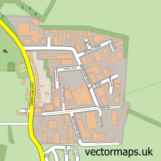
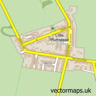
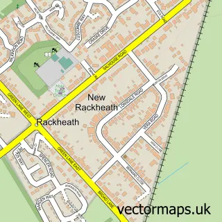
More street maps in Norfolk
750 metre map area coverage
Boundary, postcode and point of interest information for the 750m x 750m rectangle centred on this sample map.
Boundaries containing map centre
Constituency: Broadland and Fakenham Co Const
County: Norfolk County
District: Broadland District
Icb: NHS Norfolk and Waveney ICB
Parish: Salhouse CP
Police Force: norfolk
Postcode District: NR13
Postcode Sector: NR13 6
Ward: Wroxham Ward
Nearby boundaries intersecting sample
No additional intersecting boundaries found.
Postcode coverage
POI category counts
Pub: 2
Arts And Entertainment: 1
Cottage: 1
Flowers And Gifts Shop: 1
Hotel: 1
Professional Services: 1
Restaurant: 1
Sports Club And League: 1
Sample points of interest
- Broadland Youth Choir
- Salhouse Hall cottages
- Claire Carney Floral and Balloon Designs
- Braemar Cottage Norfolk - Holiday Let
- Target Trees
- Salhouse Bell
- The Bell Inn
- The Stag Salhouse
- Norwich Eagles Academy
Create a larger editable map of Salhouse
This sample shows only a 750 metre area. To create a larger map of Salhouse, use our map builder to choose your own coverage area, add titles and download editable SVG, PDF and PNG files.
Create a custom map of Salhouse