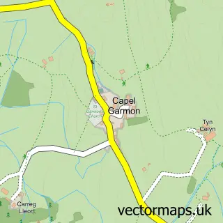
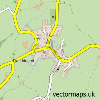
This Capel Curig street map is a detailed vector street map covering a 750m x 750m area. Select a larger area to create and download your own vector street map of Capel Curig.
The 750-metre map sample for Capel Curig covers 32 mapped buildings and approximately 8.9 km of road detail. The wider area around Capel Curig features 1 tourism point of interest. To create a larger or custom map of Capel Curig, the map builder lets you define your own coverage area and download editable SVG, PDF and PNG files.
Create a larger editable map of Capel Curig
Choose any area you need and generate a high-quality vector map instantly. Perfect for print, planning, design, business and personal use.

This Capel Curig street map in Clwyd is available as downloadable SVG, PDF and PNG map files, or as a printed map for planning, business, display, education, local information and design work. You can also create a larger custom map area using the map selector.
What this Capel Curig map sample shows
Capel Curig lies within Capel Curig Community parish, part of Betws-Y-Coed ward in the Conwy - Conwy local authority area. The postcode geography for this area includes the LL postcode area, the LL24 postcode district and the LL24 0 postcode sector. Residents fall under the Betsi Cadwaladr University Health Board for NHS services.
Local features near Capel Curig
Within 2 milesAmenities and services in and around Capel Curig.
Administrative and postcode information for Capel Curig
Capel Curig lies within Capel Curig Community parish, part of Betws-Y-Coed ward in the Conwy - Conwy local authority area. The postcode geography for this area includes the LL postcode area, the LL24 postcode district and the LL24 0 postcode sector. Residents fall under the Betsi Cadwaladr University Health Board for NHS services.
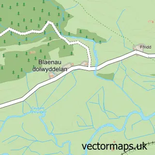
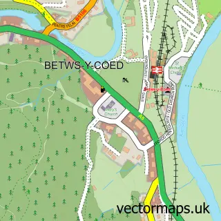
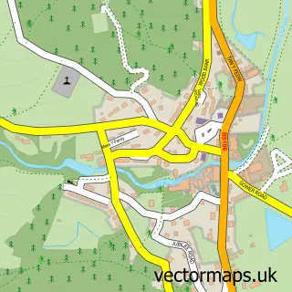
Nearby street map samples around Capel Curig

More street maps in Clwyd
750 metre map area coverage
Boundary, postcode and point of interest information for the 750m x 750m rectangle centred on this sample map.
Boundaries containing map centre
Constituency: Bangor Aberconwy Co Const
District: Conwy - Conwy
Icb: Betsi Cadwaladr University
Parish: Capel Curig Community
Police Force: north wales
Postcode District: LL24
Postcode Sector: LL24 0
Nearby boundaries intersecting sample
No additional intersecting boundaries found.
Postcode coverage
POI category counts
Bar: 2
Holiday Rental Home: 2
Outdoor Gear: 2
Bed And Breakfast: 1
Cabin: 1
Convenience Store: 1
Education: 1
Inn: 1
Lodge: 1
Park: 1
Sample points of interest
- Bryn Tyrch Inn
- Y Seren Bar & Restaurant
- St. Curig's Church
- Carreg Cottage - Self Catering Holiday Cottage
- Pinnacle Pursuits
- Mountain Training
- Bryn Tyrch Hotel
- St. Curig's Church
- The Bryn At Capel
- Glan Dwr Mountain Lodge
- Ellis Brigham
- Joe Brown's Shops
Create a larger editable map of Capel Curig
This sample shows only a 750 metre area. To create a larger map of Capel Curig, use our map builder to choose your own coverage area, add titles and download editable SVG, PDF and PNG files.
Create a custom map of Capel Curig