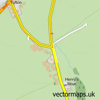
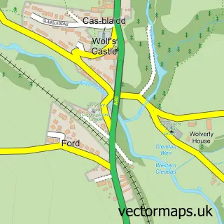
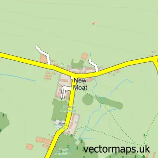
This Casmael / Puncheston street map is a detailed vector street map covering a 750m x 750m area. Select a larger area to create and download your own vector street map of Casmael / Puncheston.
The 750-metre map sample for Casmael / Puncheston covers 95 mapped buildings and approximately 19.1 km of road detail, of which 1 named road are named. The immediate area includes 1 school and 1 pub. The wider area around Casmael / Puncheston features 1 food and drink venue. To create a larger or custom map of Casmael / Puncheston, the map builder lets you define your own coverage area and download editable SVG, PDF and PNG files.
Create a larger editable map of Casmael / Puncheston
Choose any area you need and generate a high-quality vector map instantly. Perfect for print, planning, design, business and personal use.

This Casmael / Puncheston street map in Dyfed is available as downloadable SVG, PDF and PNG map files, or as a printed map for planning, business, display, education, local information and design work. You can also create a larger custom map area using the map selector.
What this Casmael / Puncheston map sample shows
Casmael / Puncheston lies within Puncheston Community parish, part of Dinas Cross ward in the Sir Benfro - Pembrokeshire local authority area. The postcode geography for this area includes the SA postcode area, the SA62 postcode district and the SA62 5 postcode sector. Residents fall under the Hywel Dda University Health Board for NHS services.
Local features near Casmael / Puncheston
Within 2 milesAmenities and services in and around Casmael / Puncheston.
Administrative and postcode information for Casmael / Puncheston
The local authority covering Casmael / Puncheston is Sir Benfro - Pembrokeshire, within the county of Dyfed. The settlement lies within Dinas Cross ward and Puncheston Community civil parish. The SA62 postcode district and SA62 5 postcode sector serve the immediate area. NHS provision in the area is delivered through Hywel Dda University Health Board.
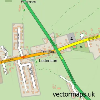
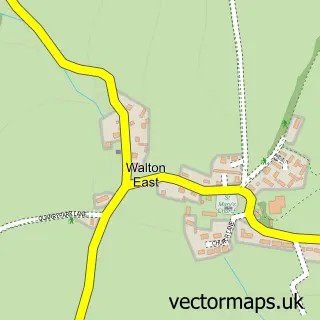
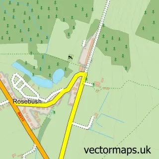
Nearby street map samples around Casmael / Puncheston

More street maps in Dyfed
750 metre map area coverage
Boundary, postcode and point of interest information for the 750m x 750m rectangle centred on this sample map.
Boundaries containing map centre
Constituency: Ceredigion Preseli Co Const
District: Sir Benfro - Pembrokeshire
Icb: Hywel Dda
Parish: Puncheston Community
Police Force: dyfed-powys
Postcode District: SA62
Postcode Sector: SA62 5
Nearby boundaries intersecting sample
No additional intersecting boundaries found.
Postcode coverage
POI category counts
Agricultural Service: 1
Business To Business Services: 1
Campus Building: 1
Community Services Non Profits: 1
Elementary School: 1
Pub: 1
Storage Facility: 1
Sample points of interest
- Dairycare Limited milking machines.
- Chris Hill Tree Services
- Puncheston C P School
- The Gideons International
- Puncheston Infant & Junior School
- The drovers arms
- City Moves
Create a larger editable map of Casmael / Puncheston
This sample shows only a 750 metre area. To create a larger map of Casmael / Puncheston, use our map builder to choose your own coverage area, add titles and download editable SVG, PDF and PNG files.
Create a custom map of Casmael / Puncheston