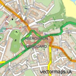
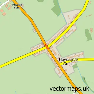
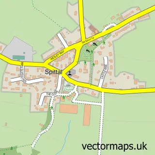
This Letterston street map is a detailed vector street map covering a 750m x 750m area. Select a larger area to create and download your own vector street map of Letterston.
The 750-metre map sample for Letterston covers 202 mapped buildings and approximately 7.2 km of road detail, of which 9 named roads are named. The wider area around Letterston features 1 hotel and 1 campsite within 2 miles. To create a larger or custom map of Letterston, the map builder lets you define your own coverage area and download editable SVG, PDF and PNG files.
Create a larger editable map of Letterston
Choose any area you need and generate a high-quality vector map instantly. Perfect for print, planning, design, business and personal use.

This Letterston street map in Dyfed is available as downloadable SVG, PDF and PNG map files, or as a printed map for planning, business, display, education, local information and design work. You can also create a larger custom map area using the map selector.
What this Letterston map sample shows
Letterston lies within Letterston Community parish, part of Letterston ward in the Sir Benfro - Pembrokeshire local authority area. The postcode geography for this area includes the SA postcode area, the SA62 postcode district and the SA62 5 postcode sector. Residents fall under the Hywel Dda University Health Board for NHS services.
Local features near Letterston
Within 2 milesAmenities and services in and around Letterston.
Administrative and postcode information for Letterston
Letterston lies within Letterston Community parish, part of Letterston ward in the Sir Benfro - Pembrokeshire local authority area. The postcode geography for this area includes the SA postcode area, the SA62 postcode district and the SA62 5 postcode sector. Residents fall under the Hywel Dda University Health Board for NHS services.
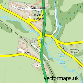
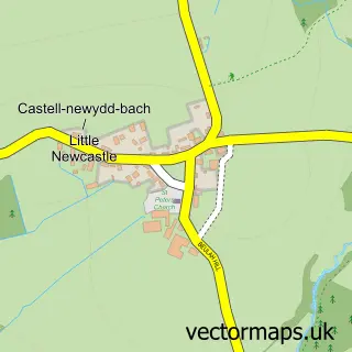
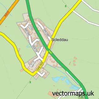
Nearby street map samples around Letterston

More street maps in Dyfed
750 metre map area coverage
Boundary, postcode and point of interest information for the 750m x 750m rectangle centred on this sample map.
Boundaries containing map centre
Constituency: Mid and South Pembrokeshire Co Const
District: Sir Benfro - Pembrokeshire
Icb: Hywel Dda
Parish: Letterston Community
Police Force: dyfed-powys
Postcode District: SA62
Postcode Sector: SA62 5
Nearby boundaries intersecting sample
No additional intersecting boundaries found.
Postcode coverage
POI category counts
Convenience Store: 3
Gas Station: 3
Shipping Center: 2
Agricultural Service: 1
Beauty Salon: 1
Butcher Shop: 1
Community Center: 1
Driving School: 1
Fish And Chips Restaurant: 1
Home Goods Store: 1
Sample points of interest
- Gwaun Garage
- Em's hair Boutique
- Gwaun Valley Meats
- Letterston memorial hall
- Certas - Letterson Filling Station
- SPAR
- SPAR - Certas Energy UK Ltd. - Letterston Filling Station
- Autoway
- Something's Cooking Fish & Chip Restaurant and Takeaway
- CERTAS Station
- Gulf
- TotalEnergies
Create a larger editable map of Letterston
This sample shows only a 750 metre area. To create a larger map of Letterston, use our map builder to choose your own coverage area, add titles and download editable SVG, PDF and PNG files.
Create a custom map of Letterston