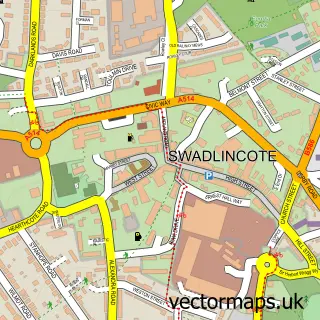
This Castle Gresley street map is a detailed vector street map covering a 750m x 750m area. Select a larger area to create and download your own vector street map of Castle Gresley.
The 750-metre map sample for Castle Gresley covers 277 mapped buildings and approximately 16.7 km of road detail, of which 17 named roads are named. The immediate area includes 3 GP surgeries within 2 miles and 13 MOT stations within 2 miles. The wider area around Castle Gresley features 1 campsite within 2 miles. To create a larger or custom map of Castle Gresley, the map builder lets you define your own coverage area and download editable SVG, PDF and PNG files.
Create a larger editable map of Castle Gresley
Choose any area you need and generate a high-quality vector map instantly. Perfect for print, planning, design, business and personal use.

This Castle Gresley street map in Derbyshire is available as downloadable SVG, PDF and PNG map files, or as a printed map for planning, business, display, education, local information and design work. You can also create a larger custom map area using the map selector.
What this Castle Gresley map sample shows
Castle Gresley lies within Castle Gresley Cp parish, part of Linton ward in the South Derbyshire District local authority area. The postcode geography for this area includes the DE postcode area, the DE11 postcode district and the DE11 9 postcode sector. Residents fall under the Nhs Derby And Derbyshire Integrated Care Board for NHS services.
Local features near Castle Gresley
Within 2 milesAmenities and services in and around Castle Gresley.
Administrative and postcode information for Castle Gresley
The local authority covering Castle Gresley is South Derbyshire District, within the county of Derbyshire. The settlement lies within Linton ward and Castle Gresley Cp civil parish. The DE11 postcode district and DE11 9 postcode sector serve the immediate area. NHS provision in the area is delivered through University Hospitals Of Derby And Burton Nhs Foundation Trust.
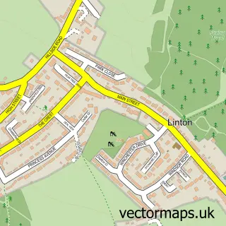
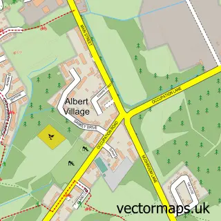
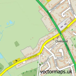
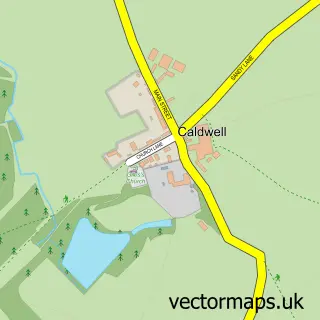
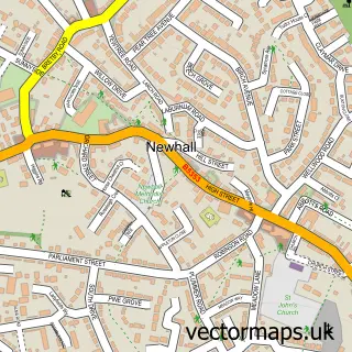
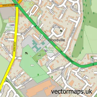
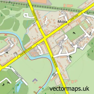
Nearby street map samples around Castle Gresley


More street maps in Derbyshire
750 metre map area coverage
Boundary, postcode and point of interest information for the 750m x 750m rectangle centred on this sample map.
Boundaries containing map centre
Constituency: South Derbyshire Co Const
County: Derbyshire County
District: South Derbyshire District
Icb: NHS Derby and Derbyshire ICB
Parish: Castle Gresley CP
Police Force: derbyshire
Postcode District: DE11
Postcode Sector: DE11 9
Ward: Linton Ward
Nearby boundaries intersecting sample
Parish: Linton CP
Postcode District: DE12
Postcode Sector: DE12 6
Ward: Church Gresley Ward
Postcode coverage
POI category counts
Furniture Store: 3
Truck Dealer For Businesses: 3
Pizza Restaurant: 2
Assisted Living Facility: 1
Beauty Salon: 1
Construction Services: 1
Day Care Preschool: 1
Desserts: 1
Driving School: 1
Drugstore: 1
Sample points of interest
- Castle Court Care Home
- The Orange Tree
- MRN Contractors
- Barn Farm Childcare
- Gresley Takeaway and Desserts
- Proteach Driving School Swadlincote
- B J Wilson
- Elan Active
- Evri ParcelShop
- Greywood Bespoke
- The Little Kitchen Company
- Toons Home Furnishers
Create a larger editable map of Castle Gresley
This sample shows only a 750 metre area. To create a larger map of Castle Gresley, use our map builder to choose your own coverage area, add titles and download editable SVG, PDF and PNG files.
Create a custom map of Castle Gresley