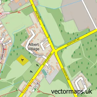
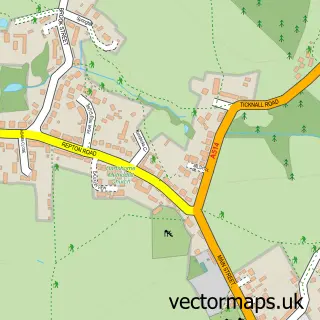
This Swadlincote street map is a detailed vector street map covering a 750m x 750m area. Select a larger area to create and download your own vector street map of Swadlincote.
The 750-metre map sample for Swadlincote covers 406 mapped buildings and approximately 28.9 km of road detail, of which 45 named roads are named. The immediate area includes 1 school, 2 GP surgeries, with 5 within 2 miles, 12 pubs and 4 MOT stations, with 14 within 2 miles. The wider area around Swadlincote features 5 tourism points of interest and 27 food and drink venues. To create a larger or custom map of Swadlincote, the map builder lets you define your own coverage area and download editable SVG, PDF and PNG files.
Create a larger editable map of Swadlincote
Choose any area you need and generate a high-quality vector map instantly. Perfect for print, planning, design, business and personal use.

This Swadlincote street map in Derbyshire is available as downloadable SVG, PDF and PNG map files, or as a printed map for planning, business, display, education, local information and design work. You can also create a larger custom map area using the map selector.
What this Swadlincote map sample shows
Swadlincote lies within Derbyshire County parish, part of Swadlincote ward in the South Derbyshire District local authority area. The postcode geography for this area includes the DE postcode area, the DE11 postcode district and the DE11 8 postcode sector. Residents fall under the Nhs Derby And Derbyshire Integrated Care Board for NHS services.
Local features near Swadlincote
Within 2 milesAmenities and services in and around Swadlincote.
Administrative and postcode information for Swadlincote
The local authority covering Swadlincote is South Derbyshire District, within the county of Derbyshire. The settlement lies within Swadlincote ward and Derbyshire County civil parish. The DE11 postcode district and DE11 8 postcode sector serve the immediate area. NHS provision in the area is delivered through University Hospitals Of Derby And Burton Nhs Foundation Trust.
Nearby street map samples around Swadlincote

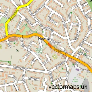
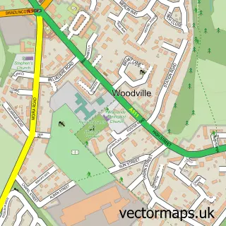
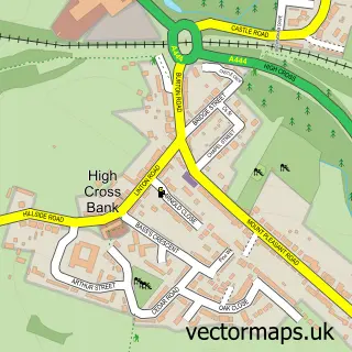

More street maps in Derbyshire
750 metre map area coverage
Boundary, postcode and point of interest information for the 750m x 750m rectangle centred on this sample map.
Boundaries containing map centre
Constituency: South Derbyshire Co Const
County: Derbyshire County
District: South Derbyshire District
Icb: NHS Derby and Derbyshire ICB
Police Force: derbyshire
Postcode District: DE11
Postcode Sector: DE11 8
Ward: Swadlincote Ward
Nearby boundaries intersecting sample
Postcode Sector: DE11 0, DE11 7, DE11 9
Ward: Church Gresley Ward
Postcode coverage
POI category counts
Beauty Salon: 16
Pub: 12
Barber: 10
Beauty And Spa: 10
Gym: 10
Hair Salon: 10
Dentist: 9
Tattoo And Piercing: 9
Financial Service: 7
Nail Salon: 7
Sample points of interest
- Amos Accountancy & Bookkeeping Services
- B K P S Accountants
- BKPS
- BKPS Accountants Ltd
- Buckler Spencer
- Smart Accountants
- Connexions
- monthly SEO services
- Swad Ambulance Station
- Emmanuel Church
- Noble Robin
- Noble Robin Salvages
Create a larger editable map of Swadlincote
This sample shows only a 750 metre area. To create a larger map of Swadlincote, use our map builder to choose your own coverage area, add titles and download editable SVG, PDF and PNG files.
Create a custom map of Swadlincote