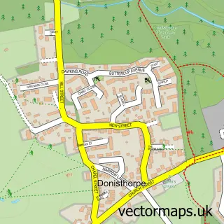
This Blackfordby street map is a detailed vector street map covering a 750m x 750m area. Select a larger area to create and download your own vector street map of Blackfordby.
The 750-metre map sample for Blackfordby covers 380 mapped buildings and approximately 18.3 km of road detail, of which 22 named roads are named. The immediate area includes 1 school, 2 GP surgeries within 2 miles, 2 pubs and 7 MOT stations within 2 miles. The wider area around Blackfordby features 2 food and drink venues. To create a larger or custom map of Blackfordby, the map builder lets you define your own coverage area and download editable SVG, PDF and PNG files.
Create a larger editable map of Blackfordby
Choose any area you need and generate a high-quality vector map instantly. Perfect for print, planning, design, business and personal use.

This Blackfordby street map in Leicestershire is available as downloadable SVG, PDF and PNG map files, or as a printed map for planning, business, display, education, local information and design work. You can also create a larger custom map area using the map selector.
What this Blackfordby map sample shows
Blackfordby lies within Ashby-De-La-Zouch Cp parish, part of Blackfordby ward in the North West Leicestershire District local authority area. The postcode geography for this area includes the DE postcode area, the DE11 postcode district and the DE11 8 postcode sector. Residents fall under the Nhs Leicester, Leicestershire And Rutland Integrated Care Board for NHS services.
Local features near Blackfordby
Within 2 milesAmenities and services in and around Blackfordby.
Administrative and postcode information for Blackfordby
Blackfordby lies within Ashby-De-La-Zouch Cp parish, part of Blackfordby ward in the North West Leicestershire District local authority area. The postcode geography for this area includes the DE postcode area, the DE11 postcode district and the DE11 8 postcode sector. Residents fall under the Nhs Leicester, Leicestershire And Rutland Integrated Care Board for NHS services.
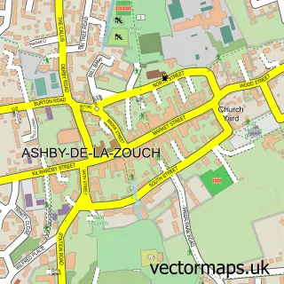
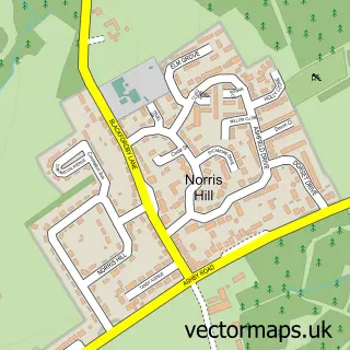
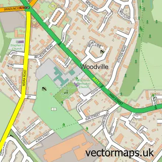
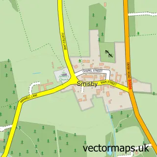
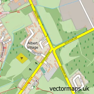
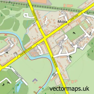
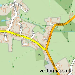
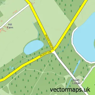
Nearby street map samples around Blackfordby

More street maps in Leicestershire
750 metre map area coverage
Boundary, postcode and point of interest information for the 750m x 750m rectangle centred on this sample map.
Boundaries containing map centre
Constituency: North West Leicestershire Co Const
County: Leicestershire County
District: North West Leicestershire District
Icb: NHS Leicester Leicestershire and Rutland ICB
Parish: Ashby de la Zouch CP
Police Force: leicestershire
Postcode District: DE11
Postcode Sector: DE11 8
Ward: Blackfordby Ward
Nearby boundaries intersecting sample
No additional intersecting boundaries found.
Postcode coverage
POI category counts
Church Cathedral: 2
Pub: 2
Anglican Church: 1
Beauty Salon: 1
Building Supply Store: 1
Community Center: 1
Distribution Services: 1
Driving School: 1
Elementary School: 1
Ev Charging Station: 1
Sample points of interest
- Blackfordby: St Margaret
- KL Aesthetic
- Wavin
- Blackfordby Methodist Church
- St Margaret's Church
- Blackfordby Village Hall
- Intec Foams
- Highways
- Blackfordby St Margarets C of E Primary School
- Roam EV Charging Station
- Blackfordby Old School Room
- Tyrrell's Honey
Create a larger editable map of Blackfordby
This sample shows only a 750 metre area. To create a larger map of Blackfordby, use our map builder to choose your own coverage area, add titles and download editable SVG, PDF and PNG files.
Create a custom map of Blackfordby