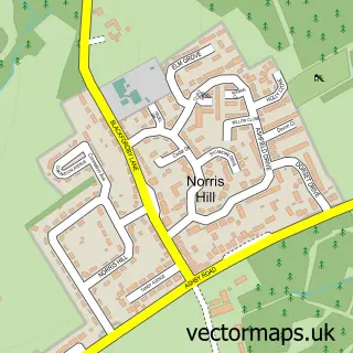
This Hartshorne street map is a detailed vector street map covering a 750m x 750m area. Select a larger area to create and download your own vector street map of Hartshorne.
The 750-metre map sample for Hartshorne covers 203 mapped buildings and approximately 11.1 km of road detail, of which 12 named roads are named. The immediate area includes 1 school, 3 GP surgeries within 2 miles, 2 pubs and 6 MOT stations within 2 miles. The wider area around Hartshorne features 1 tourism point of interest, 2 food and drink venues and 1 hotel. To create a larger or custom map of Hartshorne, the map builder lets you define your own coverage area and download editable SVG, PDF and PNG files.
Create a larger editable map of Hartshorne
Choose any area you need and generate a high-quality vector map instantly. Perfect for print, planning, design, business and personal use.

This Hartshorne street map in Derbyshire is available as downloadable SVG, PDF and PNG map files, or as a printed map for planning, business, display, education, local information and design work. You can also create a larger custom map area using the map selector.
What this Hartshorne map sample shows
Hartshorne lies within Hartshorne Cp parish, part of Woodville ward in the South Derbyshire District local authority area. The postcode geography for this area includes the DE postcode area, the DE11 postcode district and the DE11 7 postcode sector. Residents fall under the Nhs Derby And Derbyshire Integrated Care Board for NHS services.
Local features near Hartshorne
Within 2 milesAmenities and services in and around Hartshorne.
Administrative and postcode information for Hartshorne
Hartshorne lies within Hartshorne Cp parish, part of Woodville ward in the South Derbyshire District local authority area. The postcode geography for this area includes the DE postcode area, the DE11 postcode district and the DE11 7 postcode sector. Residents fall under the Nhs Derby And Derbyshire Integrated Care Board for NHS services.
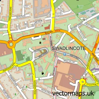
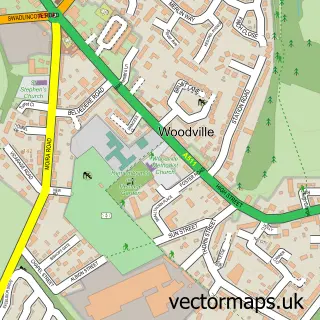
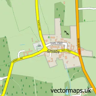
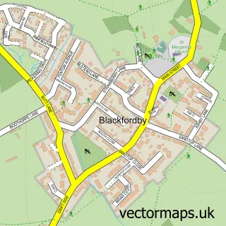
Nearby street map samples around Hartshorne

More street maps in Derbyshire
750 metre map area coverage
Boundary, postcode and point of interest information for the 750m x 750m rectangle centred on this sample map.
Boundaries containing map centre
Constituency: South Derbyshire Co Const
County: Derbyshire County
District: South Derbyshire District
Icb: NHS Derby and Derbyshire ICB
Parish: Hartshorne CP
Police Force: derbyshire
Postcode District: DE11
Postcode Sector: DE11 7
Ward: Woodville Ward
Nearby boundaries intersecting sample
No additional intersecting boundaries found.
Postcode coverage
POI category counts
Building Supply Store: 2
Elementary School: 2
Pub: 2
Veterinarian: 2
Bar: 1
Beauty And Spa: 1
Gardener: 1
Grocery Store: 1
Hair Salon: 1
Hardware Store: 1
Sample points of interest
- Admiral Rodney Inn
- Hair By Shan Tyler
- B P Carpenters
- Supawipe Cleaning Services
- Hartshorne C of E Primary School
- Hartshorne CofE Primary School
- PB Garden Services & Maintenance
- D CARD UK
- Country Air
- Town and Country Retractable Awnings
- Niche Hotels
- Hartshorne
Create a larger editable map of Hartshorne
This sample shows only a 750 metre area. To create a larger map of Hartshorne, use our map builder to choose your own coverage area, add titles and download editable SVG, PDF and PNG files.
Create a custom map of Hartshorne