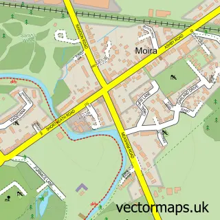
This Norris Hill street map is a detailed vector street map covering a 750m x 750m area. Select a larger area to create and download your own vector street map of Norris Hill.
The 750-metre map sample for Norris Hill covers 307 mapped buildings and approximately 15.9 km of road detail, of which 19 named roads are named. The immediate area includes 1 school, 2 GP surgeries within 2 miles and 6 MOT stations within 2 miles. The wider area around Norris Hill features 1 campsite within 2 miles. To create a larger or custom map of Norris Hill, the map builder lets you define your own coverage area and download editable SVG, PDF and PNG files.
Create a larger editable map of Norris Hill
Choose any area you need and generate a high-quality vector map instantly. Perfect for print, planning, design, business and personal use.

This Norris Hill street map in Leicestershire is available as downloadable SVG, PDF and PNG map files, or as a printed map for planning, business, display, education, local information and design work. You can also create a larger custom map area using the map selector.
What this Norris Hill map sample shows
Norris Hill lies within Ashby Woulds Cp parish, part of Blackfordby ward in the North West Leicestershire District local authority area. The postcode geography for this area includes the DE postcode area, the DE12 postcode district and the DE12 6 postcode sector. Residents fall under the Nhs Leicester, Leicestershire And Rutland Integrated Care Board for NHS services.
Local features near Norris Hill
Within 2 milesAmenities and services in and around Norris Hill.
Administrative and postcode information for Norris Hill
Norris Hill lies within Ashby Woulds Cp parish, part of Blackfordby ward in the North West Leicestershire District local authority area. The postcode geography for this area includes the DE postcode area, the DE12 postcode district and the DE12 6 postcode sector. Residents fall under the Nhs Leicester, Leicestershire And Rutland Integrated Care Board for NHS services.
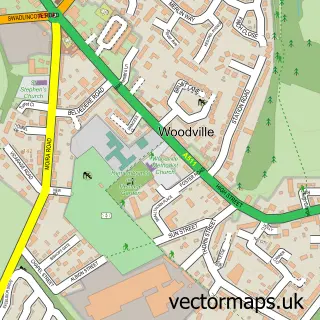
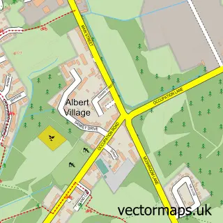
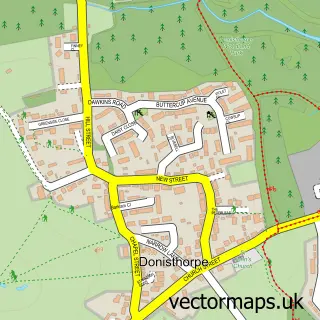
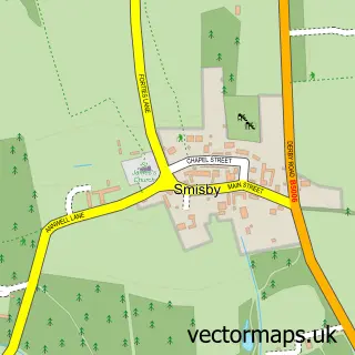
Nearby street map samples around Norris Hill
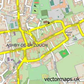

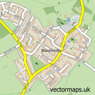

More street maps in Leicestershire
750 metre map area coverage
Boundary, postcode and point of interest information for the 750m x 750m rectangle centred on this sample map.
Boundaries containing map centre
Constituency: North West Leicestershire Co Const
County: Leicestershire County
District: North West Leicestershire District
Icb: NHS Leicester Leicestershire and Rutland ICB
Parish: Ashby Woulds CP
Police Force: leicestershire
Postcode District: DE12
Postcode Sector: DE12 6
Ward: Blackfordby Ward
Nearby boundaries intersecting sample
Parish: Ashby de la Zouch CP
Postcode District: LE65
Postcode Sector: LE65 2
Ward: Ashby Ivanhoe Ward, Ashby Woulds Ward
Postcode coverage
POI category counts
Arts And Entertainment: 1
Auto Customization: 1
Carpet Store: 1
Charity Organization: 1
Child Care And Day Care: 1
Contractor: 1
Convenience Store: 1
Costume Store: 1
Discount Store: 1
Education: 1
Sample points of interest
- Moira
- Kens Customs
- PJCS Carpets and Flooring
- Norris Hill Orchard
- The Early Years Academy Loughborough
- Richard Booth Design
- Premier
- Ashby Fancy Dress
- Discount food bargains
- Moira Infants School
- Moira Primary School
- Moira Chippy
Create a larger editable map of Norris Hill
This sample shows only a 750 metre area. To create a larger map of Norris Hill, use our map builder to choose your own coverage area, add titles and download editable SVG, PDF and PNG files.
Create a custom map of Norris Hill