This Willesley street map is a detailed vector street map covering a 750m x 750m area. Select a larger area to create and download your own vector street map of Willesley.
The 750-metre map sample for Willesley covers 13 mapped buildings and approximately 12.4 km of road detail, of which 2 named roads are named. The immediate area includes 2 GP surgeries within 2 miles and 1 MOT station within 2 miles. To create a larger or custom map of Willesley, the map builder lets you define your own coverage area and download editable SVG, PDF and PNG files.
Create a larger editable map of Willesley
Choose any area you need and generate a high-quality vector map instantly. Perfect for print, planning, design, business and personal use.

This Willesley street map in Leicestershire is available as downloadable SVG, PDF and PNG map files, or as a printed map for planning, business, display, education, local information and design work. You can also create a larger custom map area using the map selector.
What this Willesley map sample shows
Willesley lies within Oakthorpe And Donisthorpe Cp parish, part of Oakthorpe & Donisthorpe ward in the North West Leicestershire District local authority area. The postcode geography for this area includes the DE postcode area, the DE12 postcode district and the DE12 7 postcode sector. Residents fall under the Nhs Leicester, Leicestershire And Rutland Integrated Care Board for NHS services.
Local features near Willesley
Within 2 milesAmenities and services in and around Willesley.
Administrative and postcode information for Willesley
The local authority covering Willesley is North West Leicestershire District, within the county of Leicestershire. The settlement lies within Oakthorpe & Donisthorpe ward and Oakthorpe And Donisthorpe Cp civil parish. The DE12 postcode district and DE12 7 postcode sector serve the immediate area. NHS provision in the area is delivered through University Hospitals Of Derby And Burton Nhs Foundation Trust.
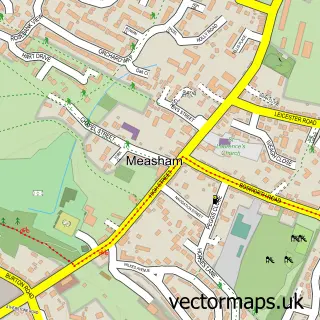
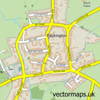
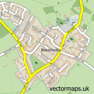
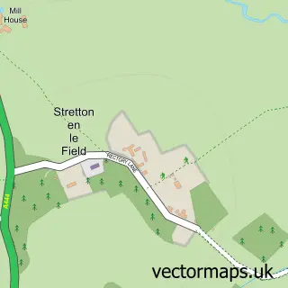
Nearby street map samples around Willesley
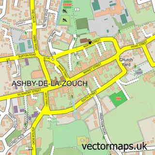


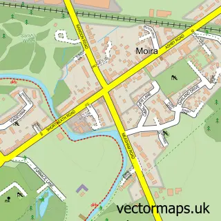
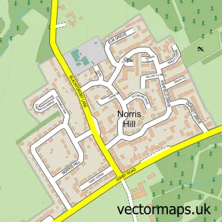
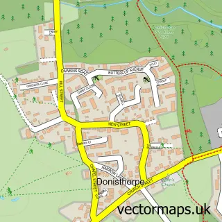
More street maps in Leicestershire
750 metre map area coverage
Boundary, postcode and point of interest information for the 750m x 750m rectangle centred on this sample map.
Boundaries containing map centre
Constituency: North West Leicestershire Co Const
County: Leicestershire County
District: North West Leicestershire District
Icb: NHS Leicester Leicestershire and Rutland ICB
Parish: Ashby de la Zouch CP
Police Force: leicestershire
Postcode District: LE65
Postcode Sector: LE65 2
Ward: Ashby Willesley Ward
Nearby boundaries intersecting sample
Constituency: Hinckley and Bosworth Co Const
Parish: Oakthorpe, Donisthorpe and Acresford CP
Postcode District: DE12
Postcode Sector: DE12 7
Ward: Oakthorpe & Donisthorpe Ward
Postcode coverage
POI category counts
Active Life: 1
Building Supply Store: 1
Construction Services: 1
Fishing Club: 1
Holiday Rental Home: 1
Lake: 1
Pet Services: 1
Scout Hall: 1
Youth Organizations: 1
Sample points of interest
- Willesley Woodside Nature Reserve
- T A Hardwick Limited
- Winrose Construction Ltd
- Willesley Lake Carp and Course Fishery
- Hastings Retreat
- Donisthprpe Lake
- Wood Lane Boarding Kennels
- Odyssey Explorer Scout Unit
- Scout Association
Create a larger editable map of Willesley
This sample shows only a 750 metre area. To create a larger map of Willesley, use our map builder to choose your own coverage area, add titles and download editable SVG, PDF and PNG files.
Create a custom map of Willesley