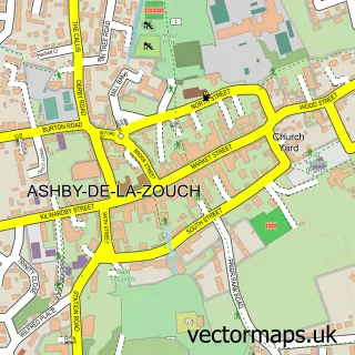
This Measham street map is a detailed vector street map covering a 750m x 750m area. Select a larger area to create and download your own vector street map of Measham.
The 750-metre map sample for Measham covers 464 mapped buildings and approximately 23.4 km of road detail, of which 35 named roads are named. The immediate area includes 1 school, 1 GP surgery, 2 pubs and 1 MOT station within 2 miles. The wider area around Measham features 3 tourism points of interest and 7 food and drink venues. To create a larger or custom map of Measham, the map builder lets you define your own coverage area and download editable SVG, PDF and PNG files.
Create a larger editable map of Measham
Choose any area you need and generate a high-quality vector map instantly. Perfect for print, planning, design, business and personal use.

This Measham street map in Leicestershire is available as downloadable SVG, PDF and PNG map files, or as a printed map for planning, business, display, education, local information and design work. You can also create a larger custom map area using the map selector.
What this Measham map sample shows
Measham lies within Measham Cp parish, part of Measham South ward in the North West Leicestershire District local authority area. The postcode geography for this area includes the DE postcode area, the DE12 postcode district and the DE12 7 postcode sector. Residents fall under the Nhs Leicester, Leicestershire And Rutland Integrated Care Board for NHS services.
Local features near Measham
Within 2 milesAmenities and services in and around Measham.
Administrative and postcode information for Measham
The local authority covering Measham is North West Leicestershire District, within the county of Leicestershire. The settlement lies within Measham South ward and Measham Cp civil parish. The DE12 postcode district and DE12 7 postcode sector serve the immediate area. NHS provision in the area is delivered through University Hospitals Of Derby And Burton Nhs Foundation Trust.
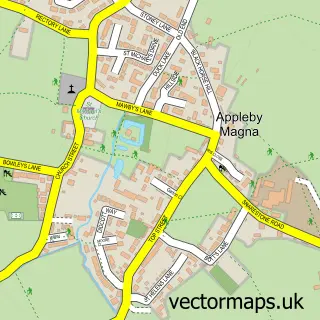
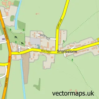
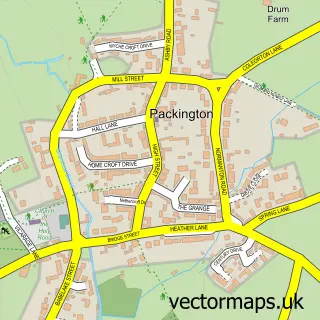
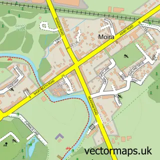
Nearby street map samples around Measham


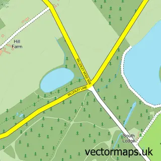
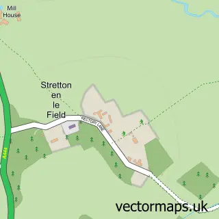
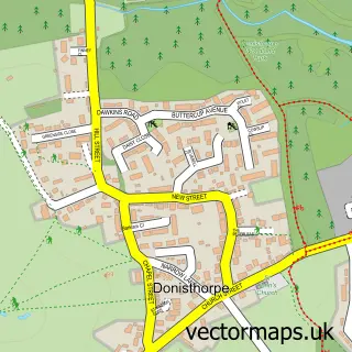
More street maps in Leicestershire
750 metre map area coverage
Boundary, postcode and point of interest information for the 750m x 750m rectangle centred on this sample map.
Boundaries containing map centre
Constituency: North West Leicestershire Co Const
County: Leicestershire County
District: North West Leicestershire District
Icb: NHS Leicester Leicestershire and Rutland ICB
Parish: Measham CP
Police Force: leicestershire
Postcode District: DE12
Postcode Sector: DE12 7
Ward: Measham North Ward
Nearby boundaries intersecting sample
Ward: Measham South Ward
Postcode coverage
POI category counts
Hair Salon: 5
Funeral Services And Cemeteries: 4
Professional Services: 4
Barber: 3
Beauty Salon: 3
Coffee Shop: 3
Employment Agencies: 3
Hardware Store: 3
It Service And Computer Repair: 3
Martial Arts Club: 3
Sample points of interest
- Ince Web Services Ltd.
- DE12 SK8
- Measham: St Laurence
- Hong Kong Restaurant
- Central England Co-Op - Measham, MEASHAM
- Pluginsure
- Simply Car Mats
- DTW Data
- Measham Baptist Church
- Hansons Barbers
- Heidis Hair
- Sam Barsby Hair
Create a larger editable map of Measham
This sample shows only a 750 metre area. To create a larger map of Measham, use our map builder to choose your own coverage area, add titles and download editable SVG, PDF and PNG files.
Create a custom map of Measham