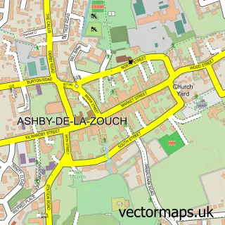
This Appleby Magna street map is a detailed vector street map covering a 750m x 750m area. Select a larger area to create and download your own vector street map of Appleby Magna.
The 750-metre map sample for Appleby Magna covers 310 mapped buildings and approximately 18.9 km of road detail, of which 21 named roads are named. The immediate area includes 1 school, 1 GP surgery within 2 miles, 5 pubs and 1 MOT station within 2 miles. The wider area around Appleby Magna features 1 tourism point of interest and 6 food and drink venues. To create a larger or custom map of Appleby Magna, the map builder lets you define your own coverage area and download editable SVG, PDF and PNG files.
Create a larger editable map of Appleby Magna
Choose any area you need and generate a high-quality vector map instantly. Perfect for print, planning, design, business and personal use.

This Appleby Magna street map in Leicestershire is available as downloadable SVG, PDF and PNG map files, or as a printed map for planning, business, display, education, local information and design work. You can also create a larger custom map area using the map selector.
What this Appleby Magna map sample shows
Appleby Magna lies within Appleby Magna Cp parish, part of Appleby ward in the North West Leicestershire District local authority area. The postcode geography for this area includes the DE postcode area, the DE12 postcode district and the DE12 7 postcode sector. Residents fall under the Nhs Leicester, Leicestershire And Rutland Integrated Care Board for NHS services.
Local features near Appleby Magna
Within 2 milesAmenities and services in and around Appleby Magna.
Administrative and postcode information for Appleby Magna
The local authority covering Appleby Magna is North West Leicestershire District, within the county of Leicestershire. The settlement lies within Appleby ward and Appleby Magna Cp civil parish. The DE12 postcode district and DE12 7 postcode sector serve the immediate area. NHS provision in the area is delivered through University Hospitals Of Derby And Burton Nhs Foundation Trust.
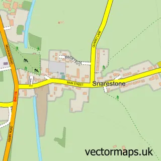
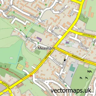
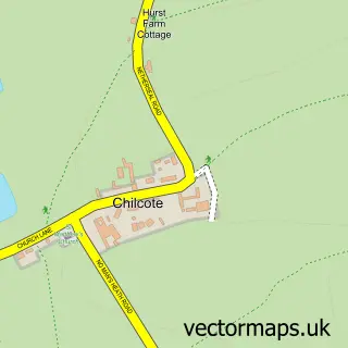
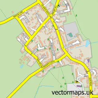
Nearby street map samples around Appleby Magna

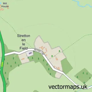
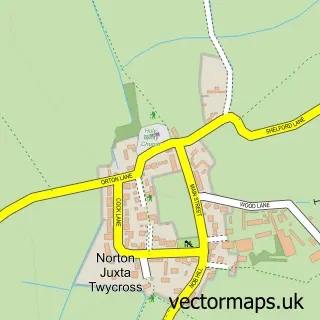
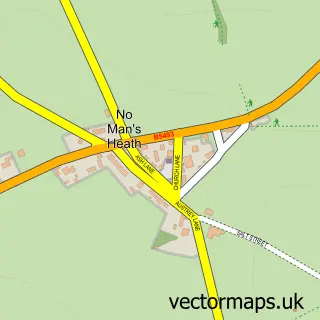

More street maps in Leicestershire
750 metre map area coverage
Boundary, postcode and point of interest information for the 750m x 750m rectangle centred on this sample map.
Boundaries containing map centre
Constituency: Hinckley and Bosworth Co Const
County: Leicestershire County
District: North West Leicestershire District
Icb: NHS Leicester Leicestershire and Rutland ICB
Parish: Appleby Magna CP
Police Force: leicestershire
Postcode District: DE12
Postcode Sector: DE12 7
Ward: Appleby Ward
Nearby boundaries intersecting sample
No additional intersecting boundaries found.
Postcode coverage
POI category counts
Pub: 5
Anglican Church: 2
Warehouses: 2
Beauty Salon: 1
Bed And Breakfast: 1
Building Supply Store: 1
Butcher Shop: 1
Cafe: 1
Caterer: 1
Child Care And Day Care: 1
Sample points of interest
- Appleby Magna: St Michael & All Angels
- St Michael's Church
- Rochelle Jenna Beauty
- Ferne Cottage
- Francesca Sinclair
- W Taylor Butchers
- The Cutting Garden Cafe
- Juicy Jackets
- Happy Hedgehogs Pre-school
- New Look
- Appleby Dog Park
- GizAGadget
Create a larger editable map of Appleby Magna
This sample shows only a 750 metre area. To create a larger map of Appleby Magna, use our map builder to choose your own coverage area, add titles and download editable SVG, PDF and PNG files.
Create a custom map of Appleby Magna