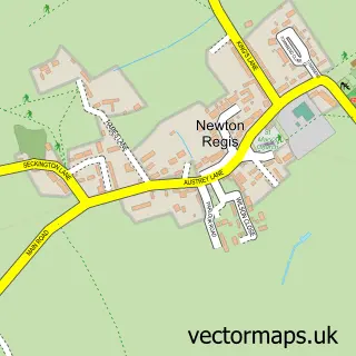
This No Man's Heath street map is a detailed vector street map covering a 750m x 750m area. Select a larger area to create and download your own vector street map of No Man's Heath.
The 750-metre map sample for No Man's Heath covers 67 mapped buildings and approximately 17.3 km of road detail, of which 4 named roads are named. The wider area around No Man's Heath features 1 tourism point of interest. To create a larger or custom map of No Man's Heath, the map builder lets you define your own coverage area and download editable SVG, PDF and PNG files.
Create a larger editable map of No Man's Heath
Choose any area you need and generate a high-quality vector map instantly. Perfect for print, planning, design, business and personal use.

This No Man's Heath street map in Warwickshire is available as downloadable SVG, PDF and PNG map files, or as a printed map for planning, business, display, education, local information and design work. You can also create a larger custom map area using the map selector.
What this No Man's Heath map sample shows
No Man's Heath lies within Newton Regis Cp parish, part of Newton Regis And Warton ward in the North Warwickshire District (B) local authority area. The postcode geography for this area includes the B postcode area, the B79 postcode district and the B79 0 postcode sector. Residents fall under the Nhs Coventry And Warwickshire Integrated Care Board for NHS services.
Local features near No Man's Heath
Within 2 milesAmenities and services in and around No Man's Heath.
Administrative and postcode information for No Man's Heath
No Man's Heath lies within Newton Regis Cp parish, part of Newton Regis And Warton ward in the North Warwickshire District (B) local authority area. The postcode geography for this area includes the B postcode area, the B79 postcode district and the B79 0 postcode sector. Residents fall under the Nhs Coventry And Warwickshire Integrated Care Board for NHS services.
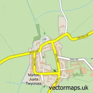
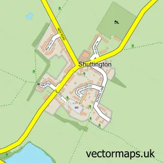
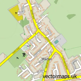
Nearby street map samples around No Man's Heath

More street maps in Warwickshire
750 metre map area coverage
Boundary, postcode and point of interest information for the 750m x 750m rectangle centred on this sample map.
Boundaries containing map centre
Constituency: North Warwickshire and Bedworth Co Const
County: Warwickshire County
District: North Warwickshire District (B)
Icb: NHS Coventry and Warwickshire ICB
Parish: Newton Regis CP
Police Force: warwickshire
Postcode District: B79
Postcode Sector: B79 0
Ward: Newton Regis and Warton Ward
Nearby boundaries intersecting sample
Constituency: Hinckley and Bosworth Co Const
County: Leicestershire County
District: North West Leicestershire District
Icb: NHS Leicester Leicestershire and Rutland ICB
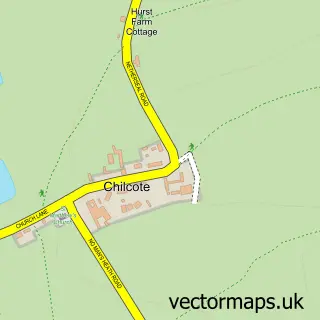
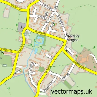
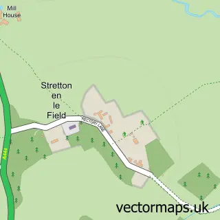
Parish: Appleby Magna CP, Chilcote CP, Stretton en le Field CP
Police Force: leicestershire
Postcode District: DE12
Postcode Sector: DE12 8
Ward: Appleby Ward
Postcode coverage
POI category counts
Automotive Repair: 2
Car Dealer: 1
Home Service: 1
Indian Restaurant: 1
Landmark And Historical Building: 1
Web Designer: 1
Sample points of interest
- Arrowsmith & Son Motor Engineers
- Four Counties Garage
- Unipart Car Care Centre
- Signal Securities Ltd
- Four Counties Spice
- No Man's Heath, Warwickshire
- Lucy Mundy
Create a larger editable map of No Man's Heath
This sample shows only a 750 metre area. To create a larger map of No Man's Heath, use our map builder to choose your own coverage area, add titles and download editable SVG, PDF and PNG files.
Create a custom map of No Man's Heath