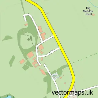
This Seckington street map is a detailed vector street map covering a 750m x 750m area. Select a larger area to create and download your own vector street map of Seckington.
The 750-metre map sample for Seckington covers 47 mapped buildings and approximately 18.4 km of road detail, of which 3 named roads are named. The immediate area includes 1 MOT station within 2 miles. To create a larger or custom map of Seckington, the map builder lets you define your own coverage area and download editable SVG, PDF and PNG files.
Create a larger editable map of Seckington
Choose any area you need and generate a high-quality vector map instantly. Perfect for print, planning, design, business and personal use.

This Seckington street map in Warwickshire is available as downloadable SVG, PDF and PNG map files, or as a printed map for planning, business, display, education, local information and design work. You can also create a larger custom map area using the map selector.
What this Seckington map sample shows
Seckington lies within Seckington Cp parish, part of Newton Regis And Warton ward in the North Warwickshire District (B) local authority area. The postcode geography for this area includes the B postcode area, the B79 postcode district and the B79 0 postcode sector. Residents fall under the Nhs Coventry And Warwickshire Integrated Care Board for NHS services.
Local features near Seckington
Within 2 milesAmenities and services in and around Seckington.
Administrative and postcode information for Seckington
Seckington lies within Seckington Cp parish, part of Newton Regis And Warton ward in the North Warwickshire District (B) local authority area. The postcode geography for this area includes the B postcode area, the B79 postcode district and the B79 0 postcode sector. Residents fall under the Nhs Coventry And Warwickshire Integrated Care Board for NHS services.
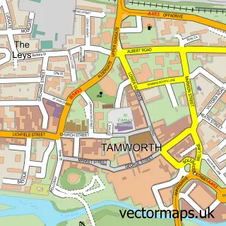
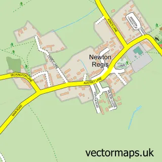
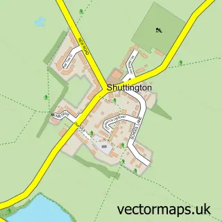
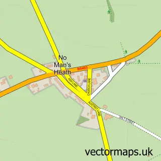
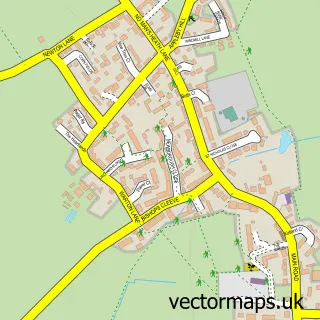
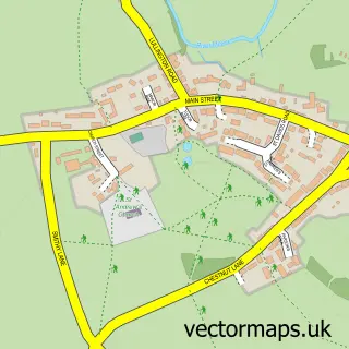
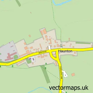
Nearby street map samples around Seckington

More street maps in Warwickshire
750 metre map area coverage
Boundary, postcode and point of interest information for the 750m x 750m rectangle centred on this sample map.
Boundaries containing map centre
Constituency: North Warwickshire and Bedworth Co Const
County: Warwickshire County
District: North Warwickshire District (B)
Icb: NHS Coventry and Warwickshire ICB
Parish: Seckington CP
Police Force: warwickshire
Postcode District: B79
Postcode Sector: B79 0
Ward: Newton Regis and Warton Ward
Nearby boundaries intersecting sample
Icb: NHS Black Country ICB
Postcode coverage
POI category counts
Adult Store: 1
Anglican Church: 1
Appliance Store: 1
Beauty Salon: 1
Cabin: 1
Electronics: 1
Flowers And Gifts Shop: 1
Home Improvement Store: 1
Tea Room: 1
Sample points of interest
- Tashany
- All Saints, Seckington
- Thomas Company
- The beauty barn tamworth
- Wigwam Holidays
- Jarvis Technologies
- Bloom Studio By Nicole
- Life Quality Bathing
- The Four Shires Tea Room
Create a larger editable map of Seckington
This sample shows only a 750 metre area. To create a larger map of Seckington, use our map builder to choose your own coverage area, add titles and download editable SVG, PDF and PNG files.
Create a custom map of Seckington