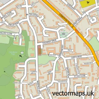
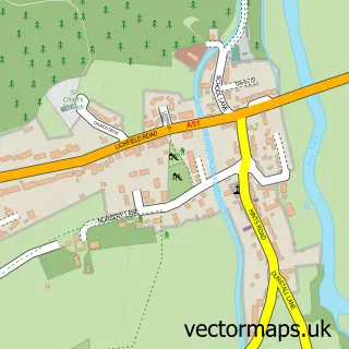
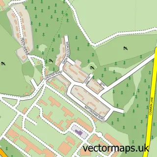
This Tamworth street map is a detailed vector street map covering a 750m x 750m area. Select a larger area to create and download your own vector street map of Tamworth.
The 750-metre map sample for Tamworth covers 229 mapped buildings and approximately 29.0 km of road detail, of which 47 named roads are named. The immediate area includes 2 schools, 5 GP surgeries, with 8 within 2 miles, 21 pubs and 3 MOT stations, with 27 within 2 miles. The wider area around Tamworth features 6 tourism points of interest, 51 food and drink venues and 6 hotels. To create a larger or custom map of Tamworth, the map builder lets you define your own coverage area and download editable SVG, PDF and PNG files.
Create a larger editable map of Tamworth
Choose any area you need and generate a high-quality vector map instantly. Perfect for print, planning, design, business and personal use.

This Tamworth street map in Staffordshire is available as downloadable SVG, PDF and PNG map files, or as a printed map for planning, business, display, education, local information and design work. You can also create a larger custom map area using the map selector.
What this Tamworth map sample shows
Tamworth lies within Staffordshire County parish, part of Castle ward in the Tamworth District (B) local authority area. The postcode geography for this area includes the B postcode area, the B79 postcode district and the B79 7 postcode sector. Residents fall under the Nhs Staffordshire And Stoke-On-Trent Integrated Care Board for NHS services.
Local features near Tamworth
Within 2 milesAmenities and services in and around Tamworth.
Administrative and postcode information for Tamworth
Tamworth lies within Staffordshire County parish, part of Castle ward in the Tamworth District (B) local authority area. The postcode geography for this area includes the B postcode area, the B79 postcode district and the B79 7 postcode sector. Residents fall under the Nhs Staffordshire And Stoke-On-Trent Integrated Care Board for NHS services.
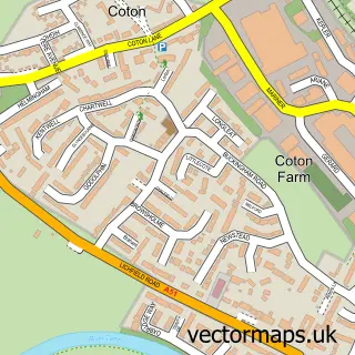
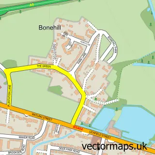
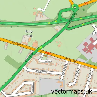
Nearby street map samples around Tamworth

More street maps in Staffordshire
750 metre map area coverage
Boundary, postcode and point of interest information for the 750m x 750m rectangle centred on this sample map.
Boundaries containing map centre
Constituency: Tamworth Co Const
County: Staffordshire County
District: Tamworth District (B)
Icb: NHS Black Country ICB
Police Force: staffordshire
Postcode District: B79
Postcode Sector: B79 7
Ward: Castle Ward
Nearby boundaries intersecting sample
Postcode Sector: B79 8
Ward: Spital Ward
Postcode coverage
POI category counts
Beauty Salon: 40
Tattoo And Piercing: 24
Hair Salon: 22
Pub: 21
Barber: 19
Bar: 17
Professional Services: 17
Employment Agencies: 16
Beauty And Spa: 15
Indian Restaurant: 14
Sample points of interest
- Adams Moore Limited
- Excel Accounts
- Tamworth Accountants Ltd
- TaxAssist Accountants
- Central SUP - Paddle Boarding in the Midlands
- Personal Trainers Tamworth
- Sittles Farm Flying Club Limited
- Connexions
- Training Link
- 52 Degrees North
- Alt Marketing Ltd
- Kyte Communication Services
Create a larger editable map of Tamworth
This sample shows only a 750 metre area. To create a larger map of Tamworth, use our map builder to choose your own coverage area, add titles and download editable SVG, PDF and PNG files.
Create a custom map of Tamworth