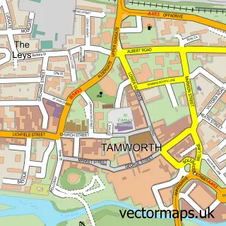
This Fazeley street map is a detailed vector street map covering a 750m x 750m area. Select a larger area to create and download your own vector street map of Fazeley.
The 750-metre map sample for Fazeley covers 317 mapped buildings and approximately 19.3 km of road detail, of which 29 named roads are named. The immediate area includes 1 school, 7 GP surgeries within 2 miles, 6 pubs and 1 MOT station, with 27 within 2 miles. The wider area around Fazeley features 1 tourism point of interest, 8 food and drink venues and 1 hotel. To create a larger or custom map of Fazeley, the map builder lets you define your own coverage area and download editable SVG, PDF and PNG files.
Create a larger editable map of Fazeley
Choose any area you need and generate a high-quality vector map instantly. Perfect for print, planning, design, business and personal use.

This Fazeley street map in Staffordshire is available as downloadable SVG, PDF and PNG map files, or as a printed map for planning, business, display, education, local information and design work. You can also create a larger custom map area using the map selector.
What this Fazeley map sample shows
Fazeley lies within Fazeley Cp parish, part of Fazeley ward in the Lichfield District local authority area. The postcode geography for this area includes the B postcode area, the B78 postcode district and the B78 3 postcode sector. Residents fall under the Nhs Staffordshire And Stoke-On-Trent Integrated Care Board for NHS services.
Local features near Fazeley
Within 2 milesAmenities and services in and around Fazeley.
Administrative and postcode information for Fazeley
Fazeley lies within Fazeley Cp parish, part of Fazeley ward in the Lichfield District local authority area. The postcode geography for this area includes the B postcode area, the B78 postcode district and the B78 3 postcode sector. Residents fall under the Nhs Staffordshire And Stoke-On-Trent Integrated Care Board for NHS services.
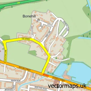
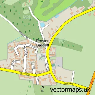
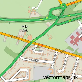
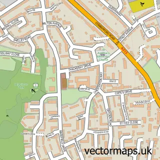
Nearby street map samples around Fazeley


More street maps in Staffordshire
750 metre map area coverage
Boundary, postcode and point of interest information for the 750m x 750m rectangle centred on this sample map.
Boundaries containing map centre
Constituency: Tamworth Co Const
County: Staffordshire County
District: Lichfield District
Icb: NHS Black Country ICB
Parish: Fazeley CP
Police Force: staffordshire
Postcode District: B78
Postcode Sector: B78 3
Ward: Fazeley Ward
Nearby boundaries intersecting sample
District: Tamworth District (B)
Parish: Drayton Bassett CP
Ward: Bourne Vale Ward, Castle Ward
Postcode coverage
POI category counts
Pub: 6
Indian Restaurant: 5
Automotive Repair: 4
Barber: 3
Building Supply Store: 3
Chinese Restaurant: 3
Electrician: 3
Employment Agencies: 3
Framing Store: 3
Gas Station: 3
Sample points of interest
- St Paul's Church
- St Paul's, Fazeley
- HMG Powder Coatings
- Liaisons UK
- ATM (Post Office)
- The Turbo Unit ltd
- Fazeley Car Spa and Detailing Centre
- Ldl Electrical Ltd.
- Tamworth Punto Centre
- Concept Restorations
- Easy Repair Centre
- Pullman Fleet Services
Create a larger editable map of Fazeley
This sample shows only a 750 metre area. To create a larger map of Fazeley, use our map builder to choose your own coverage area, add titles and download editable SVG, PDF and PNG files.
Create a custom map of Fazeley