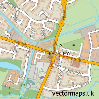
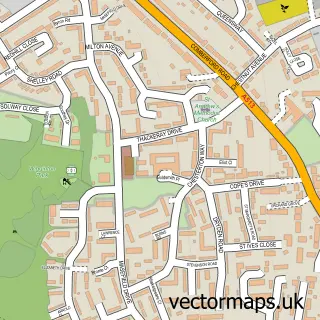
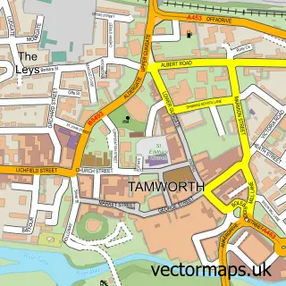
This Bonehill street map is a detailed vector street map covering a 750m x 750m area. Select a larger area to create and download your own vector street map of Bonehill.
The 750-metre map sample for Bonehill covers 196 mapped buildings and approximately 16.9 km of road detail, of which 14 named roads are named. The immediate area includes 6 GP surgeries within 2 miles, 2 pubs and 27 MOT stations within 2 miles. The wider area around Bonehill features 1 tourism point of interest, 2 food and drink venues and 1 campsite within 2 miles. To create a larger or custom map of Bonehill, the map builder lets you define your own coverage area and download editable SVG, PDF and PNG files.
Create a larger editable map of Bonehill
Choose any area you need and generate a high-quality vector map instantly. Perfect for print, planning, design, business and personal use.

This Bonehill street map in Staffordshire is available as downloadable SVG, PDF and PNG map files, or as a printed map for planning, business, display, education, local information and design work. You can also create a larger custom map area using the map selector.
What this Bonehill map sample shows
Bonehill lies within Fazeley Cp parish, part of Fazeley ward in the Lichfield District local authority area. The postcode geography for this area includes the B postcode area, the B78 postcode district and the B78 3 postcode sector. Residents fall under the Nhs Staffordshire And Stoke-On-Trent Integrated Care Board for NHS services.
Local features near Bonehill
Within 2 milesAmenities and services in and around Bonehill.
Administrative and postcode information for Bonehill
Bonehill lies within Fazeley Cp parish, part of Fazeley ward in the Lichfield District local authority area. The postcode geography for this area includes the B postcode area, the B78 postcode district and the B78 3 postcode sector. Residents fall under the Nhs Staffordshire And Stoke-On-Trent Integrated Care Board for NHS services.
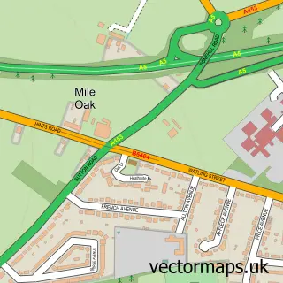
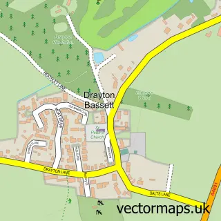
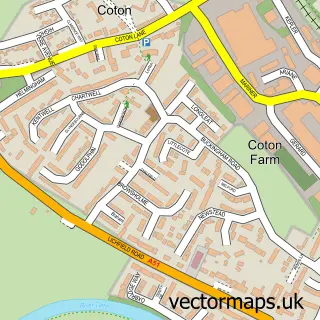
Nearby street map samples around Bonehill


More street maps in Staffordshire
750 metre map area coverage
Boundary, postcode and point of interest information for the 750m x 750m rectangle centred on this sample map.
Boundaries containing map centre
Constituency: Tamworth Co Const
County: Staffordshire County
District: Lichfield District
Icb: NHS Black Country ICB
Parish: Fazeley CP
Police Force: staffordshire
Postcode District: B78
Postcode Sector: B78 3
Ward: Fazeley Ward
Nearby boundaries intersecting sample
District: Tamworth District (B)
Ward: Castle Ward
Postcode coverage
POI category counts
Pub: 2
Auto Restoration Services: 1
Automotive Parts And Accessories: 1
Clothing Store: 1
Community Services Non Profits: 1
Counseling And Mental Health: 1
Education: 1
Engine Repair Service: 1
Ev Charging Station: 1
Financial Advising: 1
Sample points of interest
- Park Lane Classics
- C & L Distribution
- Krown Kustoms
- Mile Oak Women's Institute, Tamworth, Staffs.
- Focused Minds Counselling Services
- Digital Ink Drop
- Carpet Surgeon
- Osprey Charging Station
- Chamberlain Wealth Management
- AMC Jets
- Sime Catering Equipment Ltd.
- Bonehill
Create a larger editable map of Bonehill
This sample shows only a 750 metre area. To create a larger map of Bonehill, use our map builder to choose your own coverage area, add titles and download editable SVG, PDF and PNG files.
Create a custom map of Bonehill