This Bodymoor Heath street map is a detailed vector street map covering a 750m x 750m area. Select a larger area to create and download your own vector street map of Bodymoor Heath.
The 750-metre map sample for Bodymoor Heath covers 39 mapped buildings and approximately 15.5 km of road detail, of which 2 named roads are named. The immediate area includes 1 GP surgery within 2 miles, 1 pub and 2 MOT stations within 2 miles. The wider area around Bodymoor Heath features 1 food and drink venue and 1 campsite within 2 miles. To create a larger or custom map of Bodymoor Heath, the map builder lets you define your own coverage area and download editable SVG, PDF and PNG files.
Create a larger editable map of Bodymoor Heath
Choose any area you need and generate a high-quality vector map instantly. Perfect for print, planning, design, business and personal use.

This Bodymoor Heath street map in Warwickshire is available as downloadable SVG, PDF and PNG map files, or as a printed map for planning, business, display, education, local information and design work. You can also create a larger custom map area using the map selector.
What this Bodymoor Heath map sample shows
Bodymoor Heath lies within Lea Marston Cp parish, part of Curdworth ward in the North Warwickshire District (B) local authority area. The postcode geography for this area includes the B postcode area, the B76 postcode district and the B76 0 postcode sector. Residents fall under the Nhs Coventry And Warwickshire Integrated Care Board for NHS services.
Local features near Bodymoor Heath
Within 2 milesAmenities and services in and around Bodymoor Heath.
Administrative and postcode information for Bodymoor Heath
The local authority covering Bodymoor Heath is North Warwickshire District (B), within the county of Warwickshire. The settlement lies within Curdworth ward and Lea Marston Cp civil parish. The B76 postcode district and B76 0 postcode sector serve the immediate area. NHS provision in the area is delivered through University Hospitals Birmingham Nhs Foundation Trust.
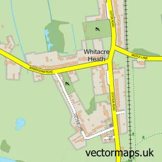
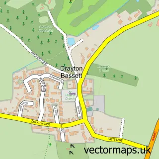
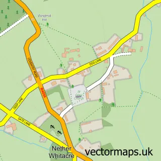
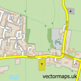
Nearby street map samples around Bodymoor Heath
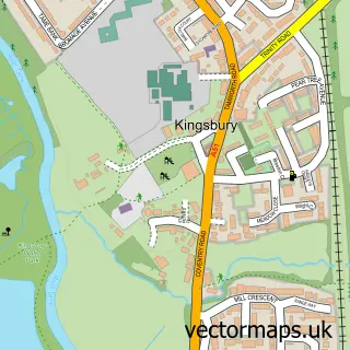

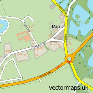
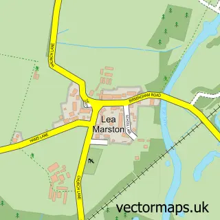

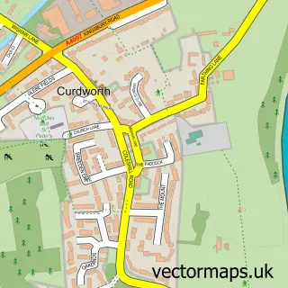
More street maps in Warwickshire
750 metre map area coverage
Boundary, postcode and point of interest information for the 750m x 750m rectangle centred on this sample map.
Boundaries containing map centre
Constituency: North Warwickshire and Bedworth Co Const
County: Warwickshire County
District: North Warwickshire District (B)
Icb: NHS Coventry and Warwickshire ICB
Parish: Kingsbury CP
Police Force: warwickshire
Postcode District: B76
Postcode Sector: B76 9
Ward: Curdworth Ward
Nearby boundaries intersecting sample
Parish: Middleton CP
Postcode District: B78
Postcode Sector: B76 0, B78 2
Postcode coverage
POI category counts
Used Car Dealer: 2
Broadcasting Media Production: 1
Caterer: 1
Fashion Accessories Store: 1
Janitorial Services: 1
Pet Groomer: 1
Professional Services: 1
Pub: 1
Recreational Vehicle Dealer: 1
Recycling Center: 1
Sample points of interest
- GRT Media
- Amazing-Food
- Honey B's
- CGB Contracting Services
- Happy Hounds Groomers
- Tink N Stink
- Dog and Doublet Inn
- Mode Conversions ltd
- The Laundry Co
- Brook Marston Farm Hotel
- Silver Birch Motor Company
- Sutton Automotive
Create a larger editable map of Bodymoor Heath
This sample shows only a 750 metre area. To create a larger map of Bodymoor Heath, use our map builder to choose your own coverage area, add titles and download editable SVG, PDF and PNG files.
Create a custom map of Bodymoor Heath