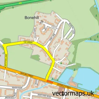
This Middleton street map is a detailed vector street map covering a 750m x 750m area. Select a larger area to create and download your own vector street map of Middleton.
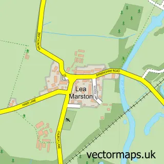
The 750-metre map sample for Middleton covers 85 mapped buildings and approximately 10.6 km of road detail, of which 5 named roads are named. The immediate area includes 3 pubs and 1 MOT station within 2 miles. The wider area around Middleton features 3 food and drink venues. To create a larger or custom map of Middleton, the map builder lets you define your own coverage area and download editable SVG, PDF and PNG files.
Create a larger editable map of Middleton
Choose any area you need and generate a high-quality vector map instantly. Perfect for print, planning, design, business and personal use.

This Middleton street map in Warwickshire is available as downloadable SVG, PDF and PNG map files, or as a printed map for planning, business, display, education, local information and design work. You can also create a larger custom map area using the map selector.
What this Middleton map sample shows
Middleton lies within Middleton Cp parish, part of Curdworth ward in the North Warwickshire District (B) local authority area. The postcode geography for this area includes the B postcode area, the B78 postcode district and the B78 2 postcode sector. Residents fall under the Nhs Coventry And Warwickshire Integrated Care Board for NHS services.
Local features near Middleton
Within 2 milesAmenities and services in and around Middleton.
Administrative and postcode information for Middleton
Middleton lies within Middleton Cp parish, part of Curdworth ward in the North Warwickshire District (B) local authority area. The postcode geography for this area includes the B postcode area, the B78 postcode district and the B78 2 postcode sector. Residents fall under the Nhs Coventry And Warwickshire Integrated Care Board for NHS services.
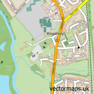
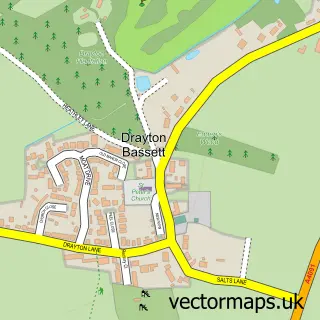
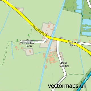
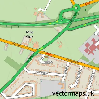
Nearby street map samples around Middleton

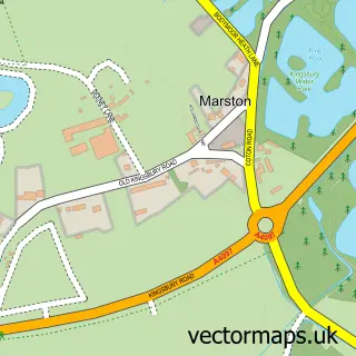
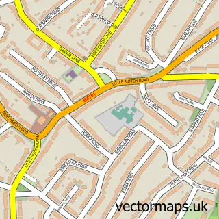
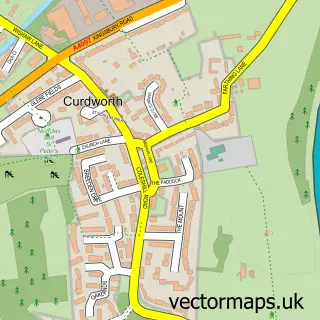
More street maps in Warwickshire
750 metre map area coverage
Boundary, postcode and point of interest information for the 750m x 750m rectangle centred on this sample map.
Boundaries containing map centre
Constituency: North Warwickshire and Bedworth Co Const
County: Warwickshire County
District: North Warwickshire District (B)
Icb: NHS Coventry and Warwickshire ICB
Parish: Middleton CP
Police Force: warwickshire
Postcode District: B78
Postcode Sector: B78 2
Ward: Curdworth Ward
Nearby boundaries intersecting sample
No additional intersecting boundaries found.
Postcode coverage
POI category counts
Pub: 3
Corporate Office: 2
Anglican Church: 1
Building Supply Store: 1
Business Consulting: 1
Church Cathedral: 1
Event Planning: 1
Event Technology Service: 1
Flowers And Gifts Shop: 1
Home Service: 1
Sample points of interest
- St John the Baptist, Middleton
- Walmley Landscapes
- Katie and Jane
- Middleton Church
- HSE Docs
- Hsedocs
- Shetland Pony Events
- Alfresco Trends
- The Florist at Coppice
- The Old School House Nursery
- Green Man Middleton Tamworth
- The Green Man
Create a larger editable map of Middleton
This sample shows only a 750 metre area. To create a larger map of Middleton, use our map builder to choose your own coverage area, add titles and download editable SVG, PDF and PNG files.
Create a custom map of Middleton