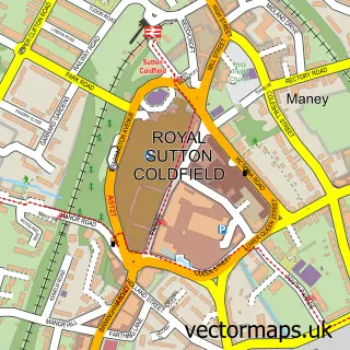
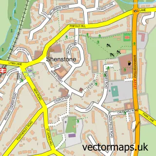
This Little Sutton street map is a detailed vector street map covering a 750m x 750m area. Select a larger area to create and download your own vector street map of Little Sutton.
The 750-metre map sample for Little Sutton covers 426 mapped buildings and approximately 38.0 km of road detail, of which 34 named roads are named. The immediate area includes 1 school, 2 GP surgeries within 2 miles, 1 pub and 7 MOT stations within 2 miles. The wider area around Little Sutton features 3 food and drink venues. To create a larger or custom map of Little Sutton, the map builder lets you define your own coverage area and download editable SVG, PDF and PNG files.
Create a larger editable map of Little Sutton
Choose any area you need and generate a high-quality vector map instantly. Perfect for print, planning, design, business and personal use.

This Little Sutton street map in West Midlands is available as downloadable SVG, PDF and PNG map files, or as a printed map for planning, business, display, education, local information and design work. You can also create a larger custom map area using the map selector.
What this Little Sutton map sample shows
Little Sutton lies within Sutton Coldfield Cp parish, part of Sutton Roughley ward in the Birmingham District (B) local authority area. The postcode geography for this area includes the B postcode area, the B75 postcode district and the B75 6 postcode sector. Residents fall under the Nhs Birmingham And Solihull Integrated Care Board for NHS services.
Local features near Little Sutton
Within 2 milesAmenities and services in and around Little Sutton.
Administrative and postcode information for Little Sutton
Little Sutton lies within Sutton Coldfield Cp parish, part of Sutton Roughley ward in the Birmingham District (B) local authority area. The postcode geography for this area includes the B postcode area, the B75 postcode district and the B75 6 postcode sector. Residents fall under the Nhs Birmingham And Solihull Integrated Care Board for NHS services.
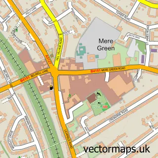
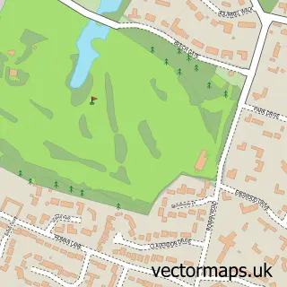
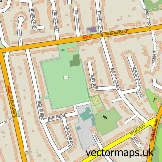
Nearby street map samples around Little Sutton


More street maps in West Midlands
750 metre map area coverage
Boundary, postcode and point of interest information for the 750m x 750m rectangle centred on this sample map.
Boundaries containing map centre
Constituency: Sutton Coldfield Boro Const
District: Birmingham District (B)
Icb: NHS Birmingham and Solihull ICB
Parish: Sutton Coldfield CP
Police Force: west midlands
Postcode District: B75
Postcode Sector: B75 6
Ward: Sutton Roughley Ward
Nearby boundaries intersecting sample
Postcode Sector: B75 5
Ward: Sutton Mere Green Ward
Postcode coverage
POI category counts
Convenience Store: 3
It Service And Computer Repair: 3
Pet Groomer: 2
Professional Services: 2
Scout Hall: 2
Accountant: 1
Architectural Designer: 1
Automotive Services And Repair: 1
Baptist Church: 1
Barber: 1
Sample points of interest
- ISO Quality Support Ltd.
- DLSS Architects
- P C Ade
- Four Oaks Baptist Church
- Dineens Barber Shop
- Bike2life
- Transformation Developments Ltd.
- Sutton Decorating Services
- Parallele Lines
- Post Office-Little Sutton
- Sutton Christian Centre
- The Olive Branch Coffee Shop
Create a larger editable map of Little Sutton
This sample shows only a 750 metre area. To create a larger map of Little Sutton, use our map builder to choose your own coverage area, add titles and download editable SVG, PDF and PNG files.
Create a custom map of Little Sutton