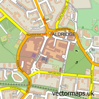
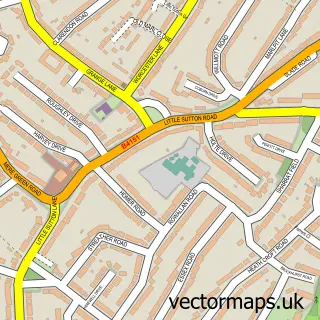
This Streetly street map is a detailed vector street map covering a 750m x 750m area. Select a larger area to create and download your own vector street map of Streetly.
The 750-metre map sample for Streetly covers 338 mapped buildings and approximately 27.6 km of road detail, of which 26 named roads are named. The immediate area includes 1 school, 4 GP surgeries within 2 miles and 5 MOT stations within 2 miles. The wider area around Streetly features 1 tourism point of interest. To create a larger or custom map of Streetly, the map builder lets you define your own coverage area and download editable SVG, PDF and PNG files.
Create a larger editable map of Streetly
Choose any area you need and generate a high-quality vector map instantly. Perfect for print, planning, design, business and personal use.

This Streetly street map in West Midlands is available as downloadable SVG, PDF and PNG map files, or as a printed map for planning, business, display, education, local information and design work. You can also create a larger custom map area using the map selector.
What this Streetly map sample shows
Streetly lies within Walsall District (B) parish, part of Streetly ward in the Walsall District (B) local authority area. The postcode geography for this area includes the B postcode area, the B74 postcode district and the B74 3 postcode sector. Residents fall under the Nhs Black Country Integrated Care Board for NHS services.
Local features near Streetly
Within 2 milesAmenities and services in and around Streetly.
Administrative and postcode information for Streetly
The local authority covering Streetly is Walsall District (B), within the county of West Midlands. The settlement lies within Streetly ward and Walsall District (B) civil parish. The B74 postcode district and B74 3 postcode sector serve the immediate area. NHS provision in the area is delivered through University Hospitals Birmingham Nhs Foundation Trust.
Nearby street map samples around Streetly

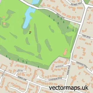

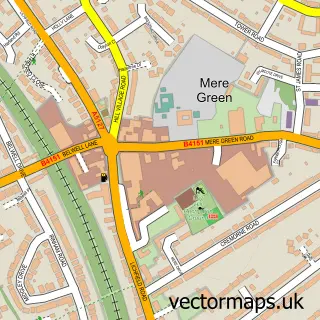
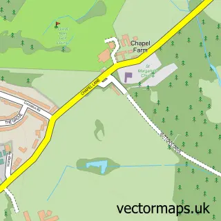
More street maps in West Midlands
750 metre map area coverage
Boundary, postcode and point of interest information for the 750m x 750m rectangle centred on this sample map.
Boundaries containing map centre
Constituency: Aldridge-Brownhills Boro Const
District: Walsall District (B)
Icb: NHS Black Country ICB
Police Force: west midlands
Postcode District: B74
Postcode Sector: B74 3
Ward: Streetly Ward
Nearby boundaries intersecting sample
Constituency: Sutton Coldfield Boro Const
District: Birmingham District (B)
Parish: Sutton Coldfield CP
Postcode Sector: B74 2
Ward: Sutton Vesey Ward
Postcode coverage
POI category counts
Anglican Church: 2
Charity Organization: 2
Sports Club And League: 2
Animal Shelter: 1
Beauty And Spa: 1
Carpet Cleaning: 1
Church Cathedral: 1
Community Center: 1
Cooking School: 1
Corporate Entertainment Services: 1
Sample points of interest
- All Saints Parish Church
- Streetly All Saints Parish Church
- The Donkey Sanctuary Birmingham
- Sorelle Aesthetics & Skin Clinic Streetly
- Steam N Clean
- Streetly Evening Women's Institute
- Streetly Evening Womens Institute
- All Saints C of E Church
- Streetly Sports and Community Association
- Dee's Kitchen Cooking Classes
- The Creation Station
- B74 Dental Practice
Create a larger editable map of Streetly
This sample shows only a 750 metre area. To create a larger map of Streetly, use our map builder to choose your own coverage area, add titles and download editable SVG, PDF and PNG files.
Create a custom map of Streetly