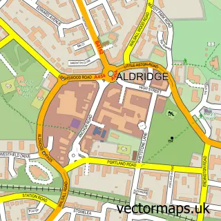
This Little Aston street map is a detailed vector street map covering a 750m x 750m area. Select a larger area to create and download your own vector street map of Little Aston.
The 750-metre map sample for Little Aston covers 172 mapped buildings and approximately 7.5 km of road detail, of which 14 named roads are named. The immediate area includes 1 GP surgery within 2 miles and 3 MOT stations within 2 miles. To create a larger or custom map of Little Aston, the map builder lets you define your own coverage area and download editable SVG, PDF and PNG files.
Create a larger editable map of Little Aston
Choose any area you need and generate a high-quality vector map instantly. Perfect for print, planning, design, business and personal use.

This Little Aston street map in Staffordshire is available as downloadable SVG, PDF and PNG map files, or as a printed map for planning, business, display, education, local information and design work. You can also create a larger custom map area using the map selector.
What this Little Aston map sample shows
Little Aston lies within Shenstone Cp parish, part of Little Aston & Stonnall ward in the Lichfield District local authority area. The postcode geography for this area includes the B postcode area, the B74 postcode district and the B74 3 postcode sector. Residents fall under the Nhs Staffordshire And Stoke-On-Trent Integrated Care Board for NHS services.
Local features near Little Aston
Within 2 milesAmenities and services in and around Little Aston.
Administrative and postcode information for Little Aston
Little Aston lies within Shenstone Cp parish, part of Little Aston & Stonnall ward in the Lichfield District local authority area. The postcode geography for this area includes the B postcode area, the B74 postcode district and the B74 3 postcode sector. Residents fall under the Nhs Staffordshire And Stoke-On-Trent Integrated Care Board for NHS services.
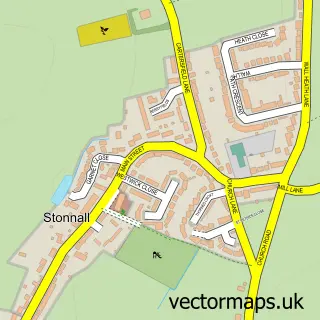
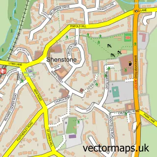
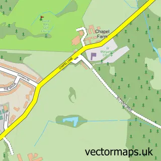
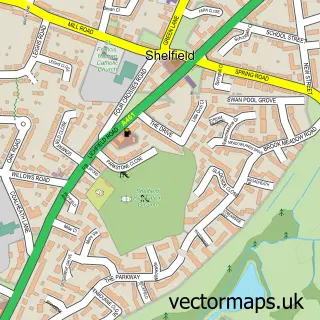
Nearby street map samples around Little Aston


More street maps in Staffordshire
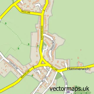

750 metre map area coverage
Boundary, postcode and point of interest information for the 750m x 750m rectangle centred on this sample map.
Boundaries containing map centre
Constituency: Tamworth Co Const
County: Staffordshire County
District: Lichfield District
Icb: NHS Black Country ICB
Parish: Shenstone CP
Police Force: staffordshire
Postcode District: B74
Postcode Sector: B74 3
Ward: Little Aston & Stonnall Ward
Nearby boundaries intersecting sample
Postcode Sector: B74 4
Ward: Sutton Four Oaks Ward
Postcode coverage
POI category counts
Clothing Store: 1
Copywriting Service: 1
Golf Course: 1
Kitchen And Bath: 1
Kitchen Supply Store: 1
Real Estate Agent: 1
Urologist: 1
Sample points of interest
- Gill Evans Designs
- UK's Best Essay Writers
- Little Aston Golf Club
- Provencale
- Belfast Sinks UK
- Philip Carter Land & Property
- Urology Expert
Create a larger editable map of Little Aston
This sample shows only a 750 metre area. To create a larger map of Little Aston, use our map builder to choose your own coverage area, add titles and download editable SVG, PDF and PNG files.
Create a custom map of Little Aston