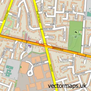
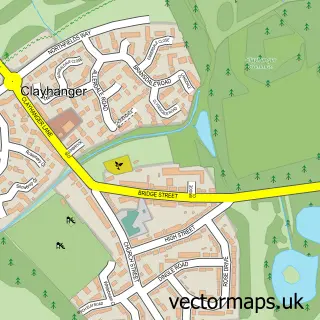
This Hammerwich street map is a detailed vector street map covering a 750m x 750m area. Select a larger area to create and download your own vector street map of Hammerwich.
The 750-metre map sample for Hammerwich covers 188 mapped buildings and approximately 16.3 km of road detail, of which 14 named roads are named. The immediate area includes 4 GP surgeries within 2 miles and 7 MOT stations within 2 miles. To create a larger or custom map of Hammerwich, the map builder lets you define your own coverage area and download editable SVG, PDF and PNG files.
Create a larger editable map of Hammerwich
Choose any area you need and generate a high-quality vector map instantly. Perfect for print, planning, design, business and personal use.

This Hammerwich street map in Staffordshire is available as downloadable SVG, PDF and PNG map files, or as a printed map for planning, business, display, education, local information and design work. You can also create a larger custom map area using the map selector.
What this Hammerwich map sample shows
Hammerwich lies within Hammerwich Cp parish, part of Hammerwich With Wall ward in the Lichfield District local authority area. The postcode geography for this area includes the WS postcode area, the WS7 postcode district and the WS7 0 postcode sector. Residents fall under the Nhs Staffordshire And Stoke-On-Trent Integrated Care Board for NHS services.
Local features near Hammerwich
Within 2 milesAmenities and services in and around Hammerwich.
Administrative and postcode information for Hammerwich
Hammerwich lies within Hammerwich Cp parish, part of Hammerwich With Wall ward in the Lichfield District local authority area. The postcode geography for this area includes the WS postcode area, the WS7 postcode district and the WS7 0 postcode sector. Residents fall under the Nhs Staffordshire And Stoke-On-Trent Integrated Care Board for NHS services.
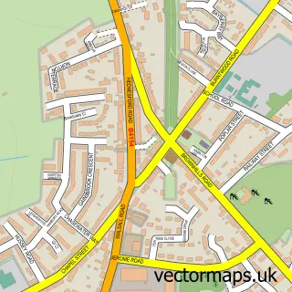
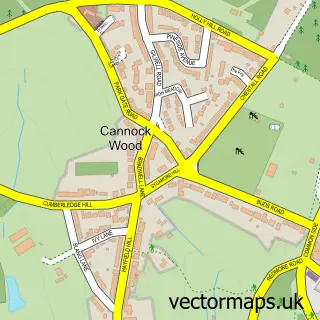
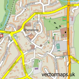
Nearby street map samples around Hammerwich


More street maps in Staffordshire
750 metre map area coverage
Boundary, postcode and point of interest information for the 750m x 750m rectangle centred on this sample map.
Boundaries containing map centre
Constituency: Lichfield Co Const
County: Staffordshire County
District: Lichfield District
Icb: NHS Black Country ICB
Parish: Hammerwich CP
Police Force: staffordshire
Postcode District: WS7
Postcode Sector: WS7 0
Ward: Hammerwich with Wall Ward
Nearby boundaries intersecting sample
No additional intersecting boundaries found.
Postcode coverage
POI category counts
Church Cathedral: 2
Anglican Church: 1
Community Center: 1
Community Services Non Profits: 1
Counseling And Mental Health: 1
Dance School: 1
Electrician: 1
Engineering Services: 1
Forestry Service: 1
Home Health Care: 1
Sample points of interest
- Hammerwich St John the Baptist
- Hammerwich Church
- St John the Baptist Church
- Hammerwich Community Centre
- Hammerwich Women's Institute
- Prohealth UK
- Oaklands Academy
- R B Services - Pat Testing
- RB Services Ltd. (Lichfield) - PAT Testing - Electrical Testing - Fire Extinguisher Servicing
- T W Bailye & Son
- Hammerwich Hall Care Home
- Midlands Compressed Air
Create a larger editable map of Hammerwich
This sample shows only a 750 metre area. To create a larger map of Hammerwich, use our map builder to choose your own coverage area, add titles and download editable SVG, PDF and PNG files.
Create a custom map of Hammerwich