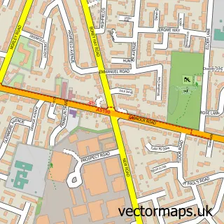
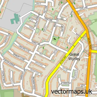
This Norton Canes street map is a detailed vector street map covering a 750m x 750m area. Select a larger area to create and download your own vector street map of Norton Canes.
The 750-metre map sample for Norton Canes covers 424 mapped buildings and approximately 20.7 km of road detail, of which 30 named roads are named. The immediate area includes 2 schools, 3 GP surgeries, with 5 within 2 miles, 3 pubs and 9 MOT stations within 2 miles. The wider area around Norton Canes features 1 tourism point of interest and 5 food and drink venues. To create a larger or custom map of Norton Canes, the map builder lets you define your own coverage area and download editable SVG, PDF and PNG files.
Create a larger editable map of Norton Canes
Choose any area you need and generate a high-quality vector map instantly. Perfect for print, planning, design, business and personal use.

This Norton Canes street map in Staffordshire is available as downloadable SVG, PDF and PNG map files, or as a printed map for planning, business, display, education, local information and design work. You can also create a larger custom map area using the map selector.
What this Norton Canes map sample shows
Norton Canes lies within Norton Canes Cp parish, part of Norton Canes ward in the Cannock Chase District local authority area. The postcode geography for this area includes the WS postcode area, the WS11 postcode district and the WS11 9 postcode sector. Residents fall under the Nhs Staffordshire And Stoke-On-Trent Integrated Care Board for NHS services.
Local features near Norton Canes
Within 2 milesAmenities and services in and around Norton Canes.
Administrative and postcode information for Norton Canes
Norton Canes lies within Norton Canes Cp parish, part of Norton Canes ward in the Cannock Chase District local authority area. The postcode geography for this area includes the WS postcode area, the WS11 postcode district and the WS11 9 postcode sector. Residents fall under the Nhs Staffordshire And Stoke-On-Trent Integrated Care Board for NHS services.
Nearby street map samples around Norton Canes

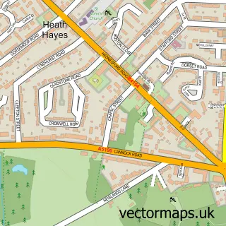
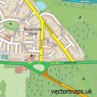

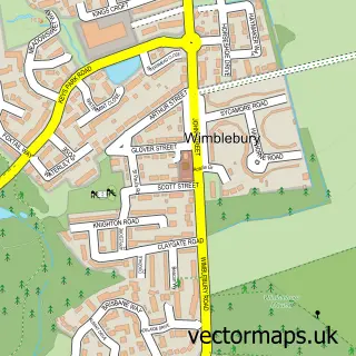
More street maps in Staffordshire
750 metre map area coverage
Boundary, postcode and point of interest information for the 750m x 750m rectangle centred on this sample map.
Boundaries containing map centre
Constituency: Cannock Chase Co Const
County: Staffordshire County
District: Cannock Chase District
Icb: NHS Staffordshire and Stoke-on-Trent ICB
Parish: Norton Canes CP
Police Force: staffordshire
Postcode District: WS11
Postcode Sector: WS11 9
Ward: Norton Canes Ward
Nearby boundaries intersecting sample
No additional intersecting boundaries found.
Postcode coverage
POI category counts
Doctor: 5
Automotive Repair: 4
Beauty Salon: 4
Pub: 3
Atms: 2
Chinese Restaurant: 2
Convenience Store: 2
Elementary School: 2
Home Goods Store: 2
Printing Services: 2
Sample points of interest
- Repair Force
- Voujon
- Midcounties Co-Op Norton Canes
- PayPoint
- AJ Autos
- Elite Automotive
- Elite vehicle repairs ltd
- Gemini Accident Repair Centres
- Razors Edge
- Chequers Hair and Beauty
- Creation
- Dolls & Guys
Create a larger editable map of Norton Canes
This sample shows only a 750 metre area. To create a larger map of Norton Canes, use our map builder to choose your own coverage area, add titles and download editable SVG, PDF and PNG files.
Create a custom map of Norton Canes