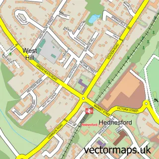
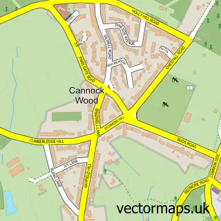
This Wimblebury street map is a detailed vector street map covering a 750m x 750m area. Select a larger area to create and download your own vector street map of Wimblebury.
The 750-metre map sample for Wimblebury covers 277 mapped buildings and approximately 19.8 km of road detail, of which 27 named roads are named. The immediate area includes 9 GP surgeries within 2 miles and 20 MOT stations within 2 miles. The wider area around Wimblebury features 1 tourism point of interest. To create a larger or custom map of Wimblebury, the map builder lets you define your own coverage area and download editable SVG, PDF and PNG files.
Create a larger editable map of Wimblebury
Choose any area you need and generate a high-quality vector map instantly. Perfect for print, planning, design, business and personal use.

This Wimblebury street map in Staffordshire is available as downloadable SVG, PDF and PNG map files, or as a printed map for planning, business, display, education, local information and design work. You can also create a larger custom map area using the map selector.
What this Wimblebury map sample shows
Wimblebury lies within Heath Hayes And Wimblebury Cp parish, part of Heath Hayes East And Wimblebury ward in the Cannock Chase District local authority area. The postcode geography for this area includes the WS postcode area, the WS12 postcode district and the WS12 0 postcode sector. Residents fall under the Nhs Staffordshire And Stoke-On-Trent Integrated Care Board for NHS services.
Local features near Wimblebury
Within 2 milesAmenities and services in and around Wimblebury.
Administrative and postcode information for Wimblebury
Wimblebury lies within Heath Hayes And Wimblebury Cp parish, part of Heath Hayes East And Wimblebury ward in the Cannock Chase District local authority area. The postcode geography for this area includes the WS postcode area, the WS12 postcode district and the WS12 0 postcode sector. Residents fall under the Nhs Staffordshire And Stoke-On-Trent Integrated Care Board for NHS services.
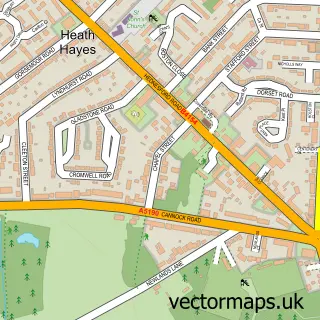
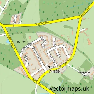
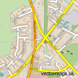
Nearby street map samples around Wimblebury


More street maps in Staffordshire
750 metre map area coverage
Boundary, postcode and point of interest information for the 750m x 750m rectangle centred on this sample map.
Boundaries containing map centre
Constituency: Cannock Chase Co Const
County: Staffordshire County
District: Cannock Chase District
Icb: NHS Staffordshire and Stoke-on-Trent ICB
Parish: Heath Hayes and Wimblebury CP
Police Force: staffordshire
Postcode District: WS12
Postcode Sector: WS12 2
Ward: Heath Hayes & Wimblebury Ward
Nearby boundaries intersecting sample
Parish: Hednesford CP
Postcode Sector: WS12 0
Ward: Hednesford Hills & Rawnsley Ward
Postcode coverage
POI category counts
Post Office: 3
Business: 2
Contractor: 2
Electrician: 2
Nature Reserve: 2
Alternative Medicine: 1
Auto Detailing: 1
Auto Electrical Repair: 1
Auto Glass Service: 1
Automotive Repair: 1
Sample points of interest
- Michelle Davies Holistics
- Car Spa
- Radford Electrical Ltd.
- Solar Screens (Midlands) Ltd.
- ChipsAway Staffordshire
- Istanbul barber
- Dent Reverse - Paintless Dent Removal
- R & G Filming & Editing
- Kingscroft Construction
- Karen Yates Associates
- Private Detective Cannock
- Mel Evans MBE Foundation
Create a larger editable map of Wimblebury
This sample shows only a 750 metre area. To create a larger map of Wimblebury, use our map builder to choose your own coverage area, add titles and download editable SVG, PDF and PNG files.
Create a custom map of Wimblebury