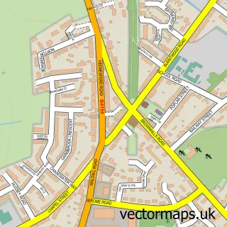
This Prospect Village street map is a detailed vector street map covering a 750m x 750m area. Select a larger area to create and download your own vector street map of Prospect Village.
The 750-metre map sample for Prospect Village covers 162 mapped buildings and approximately 15.0 km of road detail, of which 14 named roads are named. The immediate area includes 3 GP surgeries within 2 miles, 1 pub and 11 MOT stations within 2 miles. The wider area around Prospect Village features 1 food and drink venue and 1 campsite within 2 miles. To create a larger or custom map of Prospect Village, the map builder lets you define your own coverage area and download editable SVG, PDF and PNG files.
Create a larger editable map of Prospect Village
Choose any area you need and generate a high-quality vector map instantly. Perfect for print, planning, design, business and personal use.

This Prospect Village street map in Staffordshire is available as downloadable SVG, PDF and PNG map files, or as a printed map for planning, business, display, education, local information and design work. You can also create a larger custom map area using the map selector.
What this Prospect Village map sample shows
Prospect Village lies within Cannock Wood Cp parish, part of Rawnsley ward in the Cannock Chase District local authority area. The postcode geography for this area includes the WS postcode area, the WS15 postcode district and the WS15 4 postcode sector. Residents fall under the Nhs Staffordshire And Stoke-On-Trent Integrated Care Board for NHS services.
Local features near Prospect Village
Within 2 milesAmenities and services in and around Prospect Village.
Administrative and postcode information for Prospect Village
The local authority covering Prospect Village is Cannock Chase District, within the county of Staffordshire. The settlement lies within Rawnsley ward and Cannock Wood Cp civil parish. The WS15 postcode district and WS15 4 postcode sector serve the immediate area. NHS provision in the area is delivered through The Royal Wolverhampton Nhs Trust.
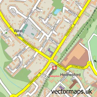
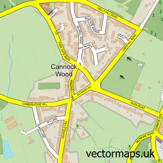
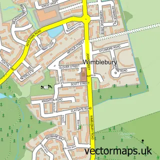
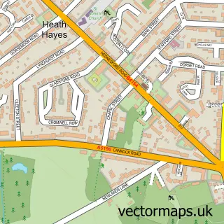
Nearby street map samples around Prospect Village


More street maps in Staffordshire
750 metre map area coverage
Boundary, postcode and point of interest information for the 750m x 750m rectangle centred on this sample map.
Boundaries containing map centre
Constituency: Cannock Chase Co Const
County: Staffordshire County
District: Cannock Chase District
Icb: NHS Staffordshire and Stoke-on-Trent ICB
Police Force: staffordshire
Postcode District: WS12
Postcode Sector: WS12 0
Ward: Hednesford Hills & Rawnsley Ward
Nearby boundaries intersecting sample
Parish: Cannock Wood CP
Postcode District: WS15
Postcode Sector: WS15 4
Ward: Heath Hayes & Wimblebury Ward
Postcode coverage
POI category counts
Contractor: 2
Beauty Salon: 1
Building Supply Store: 1
Carpenter: 1
Farm: 1
Flooring Contractors: 1
Music School: 1
Professional Services: 1
Pub: 1
Sample points of interest
- Eminence Beauty
- JB Plastering (UK) Ltd
- Treeny
- KLR Tiling
- KLR Tiling
- Hawthorn Farm
- Klr Tiling
- Steve Gardiner Guitar Tuition
- Burntwood inBusiness Networking
- The Rag
Create a larger editable map of Prospect Village
This sample shows only a 750 metre area. To create a larger map of Prospect Village, use our map builder to choose your own coverage area, add titles and download editable SVG, PDF and PNG files.
Create a custom map of Prospect Village